Mormon Rocks Interpretive Tr.
 Photo: Hear2heaL, CC BY-SA 3.0 (via Wikimedia Commons)
- 2.1 mi
- round trip
- 152 ft
- climb
- 3,483 ft
- high point
- Out and back
- route
- Oct–May
- best months
Is Mormon Rocks Interpretive Tr. open right now?
Alert in the area
The Forest Service lists 4 alerts for San Bernardino National Forest.
Safety Alert - Falling Rocks at Bonita Falls
Agency alert covering San Bernardino National Forest · USFS · San Bernardino National Forest
Upper Big Falls Area Closure
Agency alert covering Front Country Ranger District · Order 05-12-53-26-03 · USFS · Front Country Ranger District
Fire Restrictions
Agency alert covering San Bernardino National Forest · Order 05-12-00-26-05 · USFS · San Bernardino National Forest
Applewhite Picnic Area Closure
Agency alert covering Front Country Ranger District · Order 05-12-53-26-01 · USFS · Front Country Ranger District
As of · Source: USFS · San Bernardino National Forest. Agencies don't list every closure — check before you go.
Mormon Rocks Interpretive Trail is a 2.08-mile out-and-back hike in California managed by the Forest Service. The trail gains 259 feet of elevation.
 Baldy Mesa Ridge TrailHiking · ~6 min drivePhoto: Chanilim714, CC BY-SA 3.0 (via Wikimedia Commons)
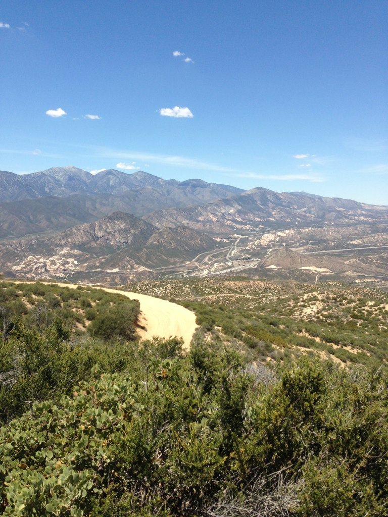 Cleghorn Ridge TrailHiking · ~6 min drivePhoto: Stiggs13, CC BY 2.0 (via Flickr)
 Cleghorn Ridge TrailHiking · ~7 min drivePhoto: GSEC, CC BY 2.0 (via Flickr)
 Middlefork - WildernessHiking · ~9 min drivePhoto: joedecruyenaere on Flickr, CC BY-SA 2.0 (via Wikimedia Commons)
 Summit TrailHiking · ~8 min drivePhoto: InSapphoWeTrust from Los Angeles, California, USA, CC BY-SA 2.0 (via Wikimedia Commons)
 Three Ts TrailHiking · ~11 min drivePhoto: inkknife_2000 (7.5 million views +), CC BY-SA 2.0 (via Wikimedia Commons)
 Three T'sHiking · ~12 min drivePhoto: inkknife_2000 (7.5 million views +), CC BY-SA 2.0 (via Wikimedia Commons)
- Stonehouse - Stonehouse Cut-OfHiking · ~9 min drivePhoto: joedecruyenaere on Flickr, CC BY-SA 2.0 (via Wikimedia Commons)
- Devils Backbone TrailHiking · ~12 min drivePhoto: inkknife_2000 (7.5 million views +), CC BY-SA 2.0 (via Wikimedia Commons)
 Cucamonga Pk- Icehouse SaddleHiking · ~13 min drivePhoto: Mitch from Costa Mesa, CA, USA, CC BY-SA 2.0 (via Wikimedia Commons)
Also worth it near here
Best time to visit Mormon Rocks Interpretive Tr.
Best months: October–May. Best months have typical highs of 55–85 °F, lows of 30 °F or warmer (32 °F where the station doesn't record snow), at most one snowy day and no more than 12 wet days.
Jan
60° / 37°
Feb
62° / 39°
Mar
69° / 42°
Apr
75° / 46°
May
82° / 53°
Jun
92° / 59°
Jul
97° / 65°
Aug
97° / 65°
Sep
91° / 61°
Oct
80° / 51°
Nov
67° / 42°
Dec
59° / 35°
Typical high / low (°F) and days with rain or snow, 1991–2020. Measured at Hesperia 2e, CA, 15.3 mi away at 3,055 ft. This station doesn't record snowfall. Source: NOAA NCEI U.S. Climate Normals 1991–2020.

