Loading…

Free — you'll pick up right here.
Watch this water
Sign up to watch it — saving subscribes you to gate, closure and report changes.
California
We won't guess. Here is exactly what we do and don't know.
What we do know
Inside Tahoe National Forest
2 managing-area boundaries mapped — agency alerts for them feed this page automatically.
Boundary data
What's missing
No access route mapped
We don't yet know which road reaches this trailhead, so we can't tell you if it's gated.
Nobody's filed a report here yet — be the first.
Why you'll love it
Sugar Pine Boat Ramp
AI-suggested draft · review before you go
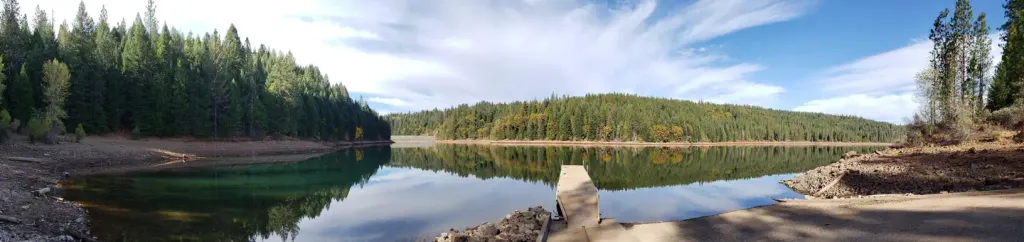
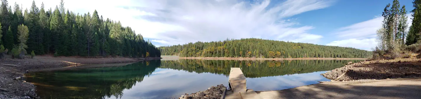
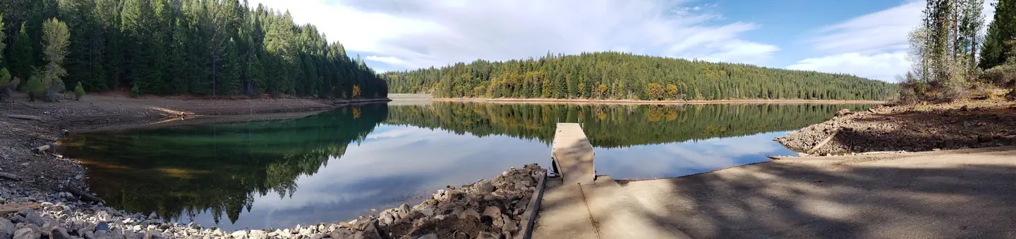
Located on the southern shore of Sugar Pine Reservoir, there is a concrete ramp and metal floating dockwith handrails and tie ups.The Foresthill Public Utility District (FPUD) will transfer water from Sugar Pine Reservoir to the Central Valley during the month of September. Water levels will be dropping during this time, exposing underwater hazards and changing conditions along shorelines. Please use caution. For more information, please contact Foresthill PUD - (530) 367-2511
Forbes Creek
~1 min drive
A worthwhile stop near California.

Euchre Bar Trailhead
~8 min drive
A worthwhile stop near California.
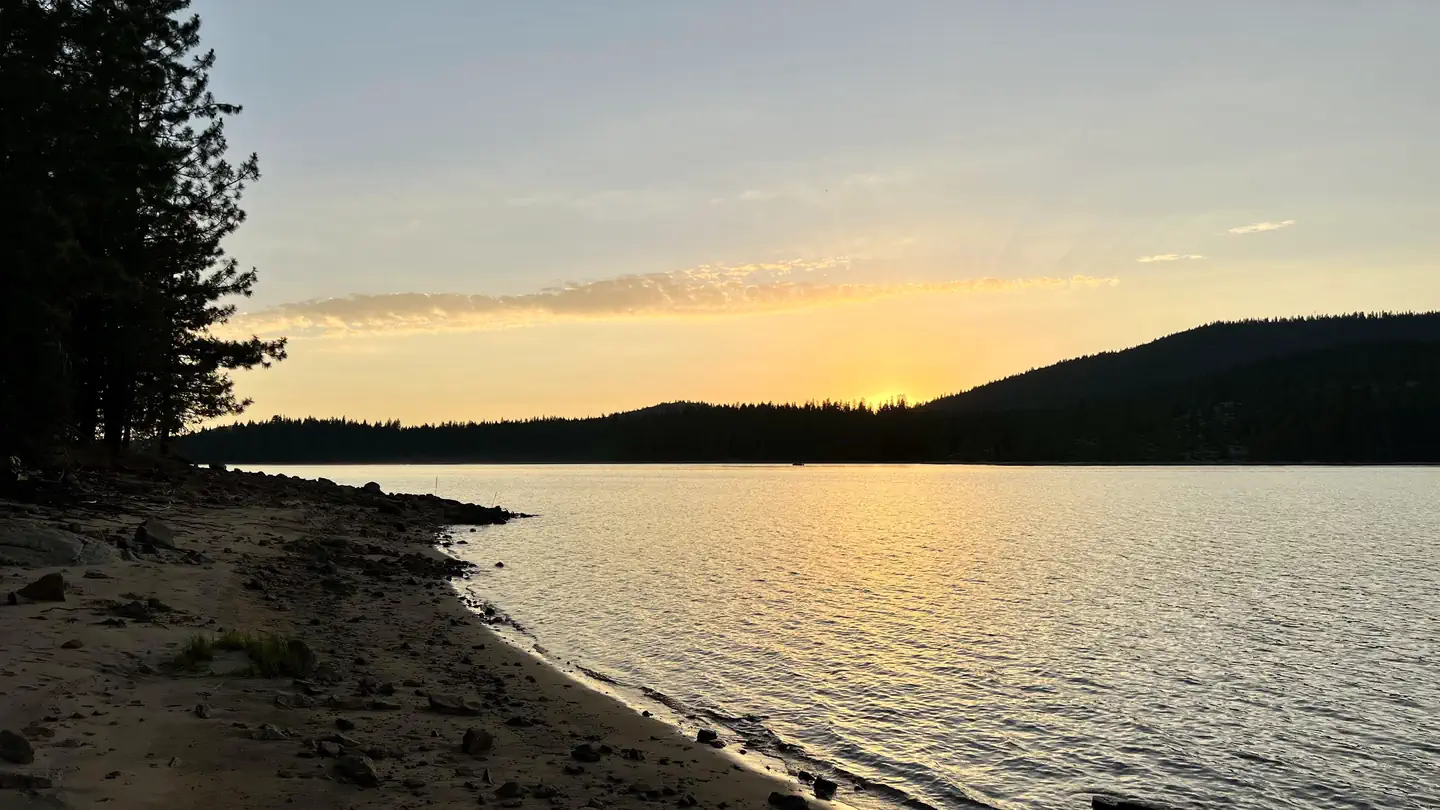
Sunset-Union Valley
~47 min drive
A worthwhile stop near California.
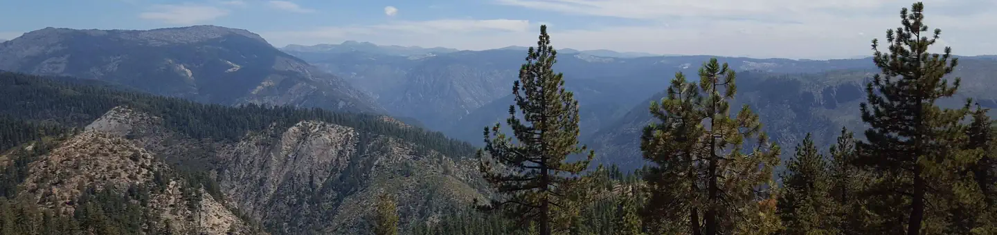
Giant Gap
~1 min drive
A worthwhile stop near California.
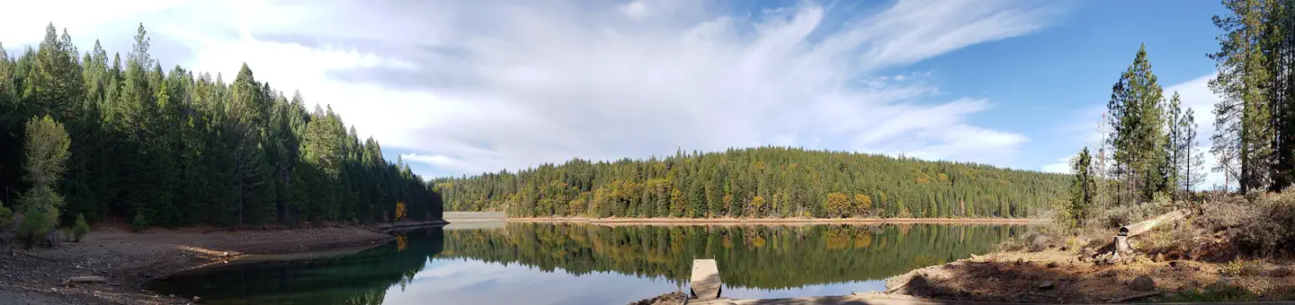
Tunnel Mills Ii
~19 min drive
A worthwhile stop near California.
Shirttail Creek
~2 min drive
A worthwhile stop near California.
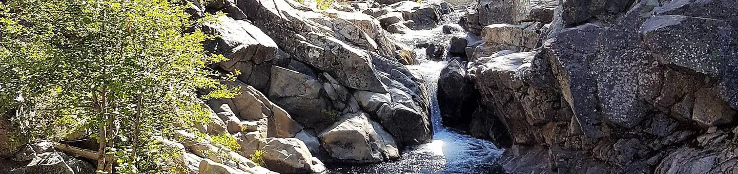
North Fork
~21 min drive
A worthwhile stop near California.
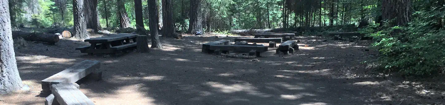
Middle Meadows
~31 min drive
A worthwhile stop near California.
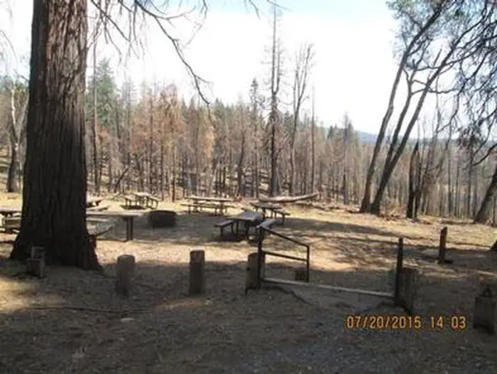
Black Oak
~33 min drive
A worthwhile stop near California.
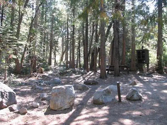
Stumpy Meadows
~32 min drive
A worthwhile stop near California.