Highway 4 Corridor
- May–Oct
- best months
Is Highway 4 Corridor open right now?
Closure in the area
There's a closure order in Stanislaus National Forest. It doesn't name Highway 4 Corridor, so check the source for the area it covers (2 listed).
Stanislaus National Forest extends seasonal MVUM closure for two high elevation roads
Agency closure covering Stanislaus National Forest · USFS · Stanislaus National Forest
Extension of Seasonal Road Closures
Agency closure covering Stanislaus National Forest · USFS · Stanislaus National Forest
As of · Source: USFS · Stanislaus National Forest. Agencies don't list every closure — check before you go.
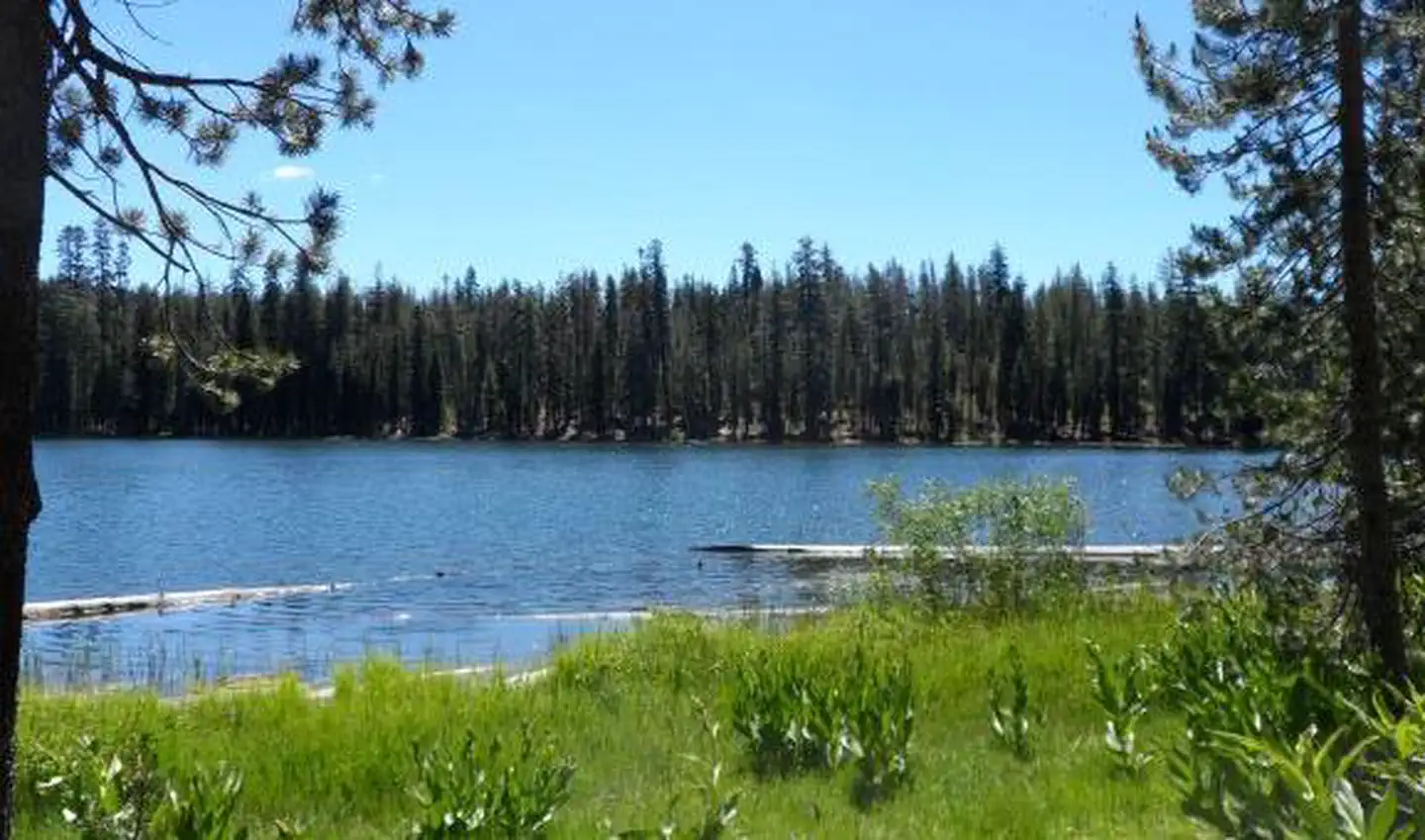
The Highway 4 Corridor is a stretch of the Calaveras Ranger District in the northwest corner of Stanislaus National Forest in California. The Forest Service manages the land, and the ranger district's office number is 209-813-6007. Summer is the most comfortable time to visit. Typical averages from the Calaveras Big Trees weather station, about 6.7 miles away, put July highs near 81°F with lows around 56°F, and only one or two wet days a month from June through September. Several hikes sit close by, including Rattlesnake about 1.2 miles away and Oxidine West at 1.5 miles. The Arnold Rim Trail and Cone Hill are both within a few miles.
Best time to go · May–Oct
Best time to visit Highway 4 Corridor
Best months: May–October. Best months have typical highs of 55–85 °F, lows of 30 °F or warmer (32 °F where the station doesn't record snow), at most one snowy day and no more than 12 wet days.
Jan
45° / 30°
11 wet
Feb
46° / 30°
11 wet
Mar
49° / 32°
11 wet
Apr
54° / 35°
8 wet
May
63° / 42°
6 wet
Jun
73° / 49°
2 wet
Jul
81° / 56°
1 wet
Aug
80° / 55°
1 wet
Sep
74° / 51°
2 wet
Oct
64° / 43°
4 wet
Nov
52° / 34°
7 wet
Dec
44° / 30°
11 wet
Typical high / low (°F) and days with rain or snow, 1991–2020. Measured at Calaveras Big Trees, CA, 6.7 mi away at 4,695 ft. The station sits about 1,300 ft higher than this place, so expect it a little warmer here. This station doesn't record snowfall. Source: NOAA NCEI U.S. Climate Normals 1991–2020.
Keep exploring — more waters worth the drive
SEE
Brentwood Lake
~21 min drive
Brentwood Lake is a 7-acre lake near Twain Harte, California, at about 3,502 feet.
SEE
Highway 108 Corridor
~23 min drive
SEE
Pinecrest Day Use
~35 min drive
SEE
Copperopolis Reservoir
~36 min drive
Copperopolis Reservoir is a 24-acre reservoir near Copperopolis, California, at about 994 feet.
SEE
Leland Reservoir
~37 min drive
Leland Reservoir is a 10-acre reservoir near Strawberry, California, at about 6,310 feet.
SEE
Spicer Reservoir
~43 min drive
SEE
Donnell Reservoir
~43 min drive
SEE
Utica/Union Reservoirs
~43 min drive
SEE
Lake Alpine Recreation Area
~49 min drive
SEE
Cherry Lake
~49 min drive
Also worth it near here


