Loading…

Free — you'll pick up right here.
Watch this water
Sign up to watch it — saving subscribes you to gate, closure and report changes.
California
We won't guess. Here is exactly what we do and don't know.
What we do know
Inside Stanislaus National Forest
2 managing-area boundaries mapped — agency alerts for them feed this page automatically.
Boundary data
What's missing
No access route mapped
We don't yet know which road reaches this trailhead, so we can't tell you if it's gated.
Nobody's filed a report here yet — be the first.
Why you'll love it
Highway 108 Corridor
AI-suggested draft · review before you go
The Scenic Highway 108 Sonora Pass route begins at an elevation of about 3,000 feet, and rises to an elevation of 9,628 feet above sea level. The pass connects the communities of Sonora to the west and Bridgeport to the east. Like Most high elevation passes across the Sierra Nevada, the highway is closed in the winter, generally between November and May, due to large quantities of snow.The highway over the pass is extremely steep, narrow and winding between Kennedy Meadows on the west side to Leavitt Meadows on the east. The route is not recommended for vehicles or vehicle combinations that are unusally wide, heavy or long. Adjacent to the summit of the pass is a picnic/parking area to nearby Sonora Peak, Wolf Creek Lake, and other spots north or south along the Pacific Crest Trail.

Cherry Valley
~25 min drive
A worthwhile stop near California.
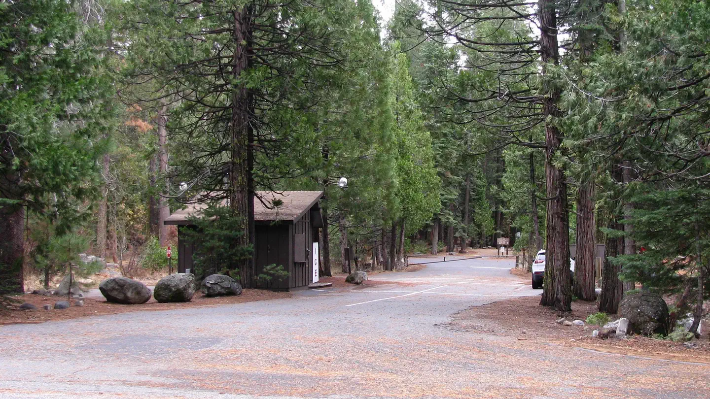
Pinecrest
~20 min drive
A worthwhile stop near California.
Brentwood Lake
~10 min drive
A worthwhile stop near California.
Pinecrest Day Use
~20 min drive
A worthwhile stop near California.
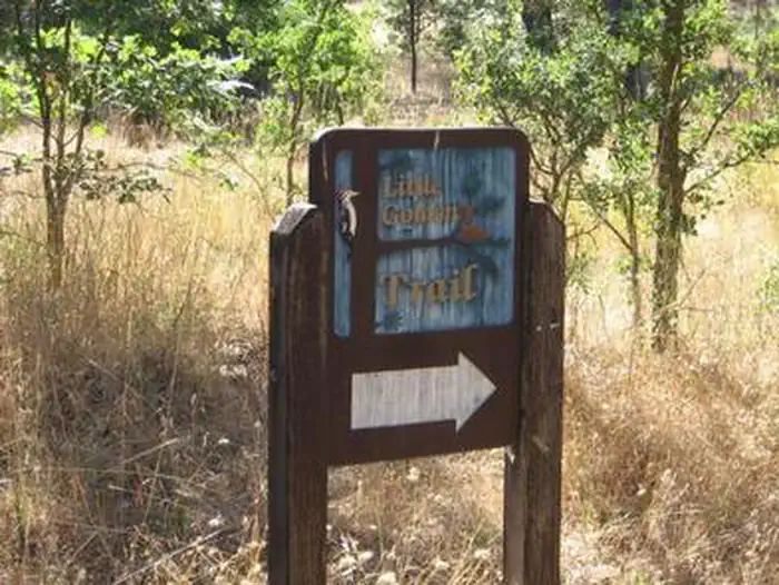
Pines Group Stanislaus
~32 min drive
A worthwhile stop near California.
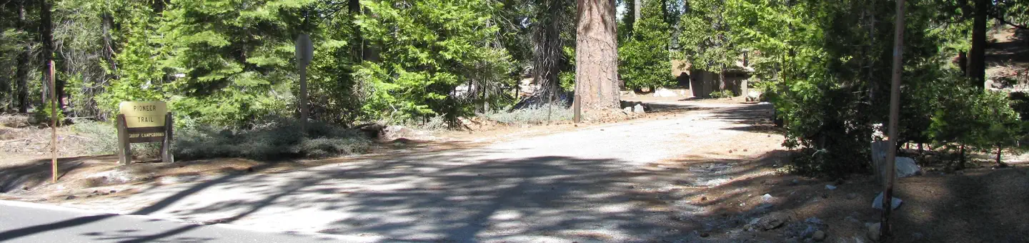
Pioneer Trail
~20 min drive
A worthwhile stop near California.
Beardsley Dam Campground
~17 min drive
A worthwhile stop near California.
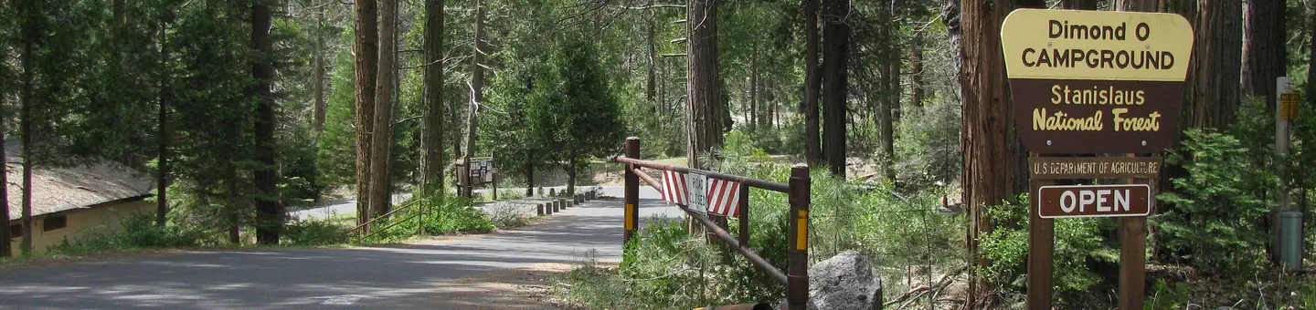
Dimond O
~41 min drive
A worthwhile stop near California.
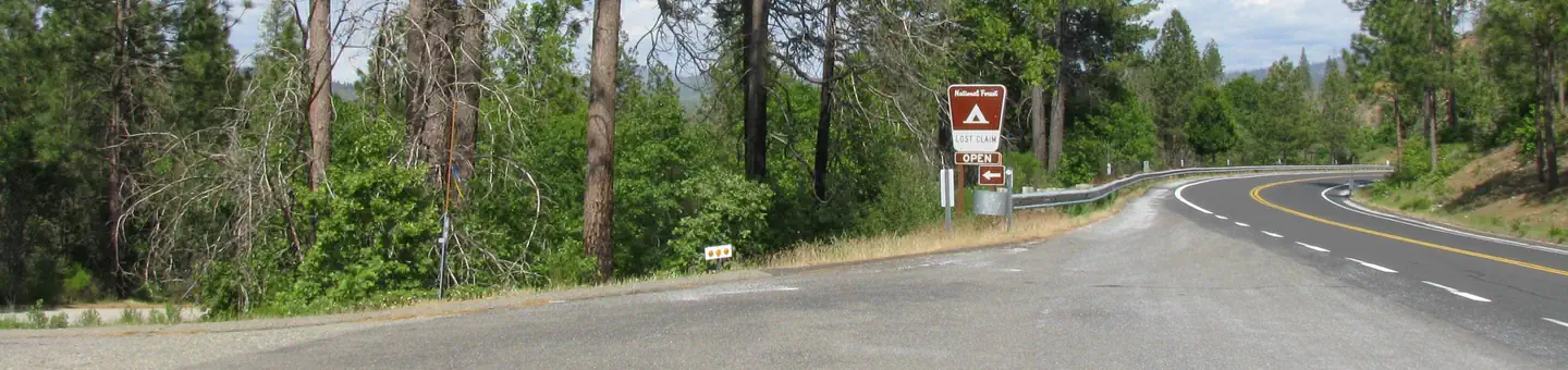
Lost Claim
~33 min drive
A worthwhile stop near California.
Pinecrest Lake
~22 min drive
A worthwhile stop near California.