Cherry Borrow Site
Campground
Campground · 0.5 mi from the trail
Closure in the area
There's a closure order in Stanislaus National Forest. It doesn't name Cherry Lake, so check the source for the area it covers (2 listed).
Stanislaus National Forest extends seasonal MVUM closure for two high elevation roads
Agency closure covering Stanislaus National Forest · USFS · Stanislaus National Forest
Extension of Seasonal Road Closures
Agency closure covering Stanislaus National Forest · USFS · Stanislaus National Forest
As of · Source: USFS · Stanislaus National Forest. Agencies don't list every closure — check before you go.
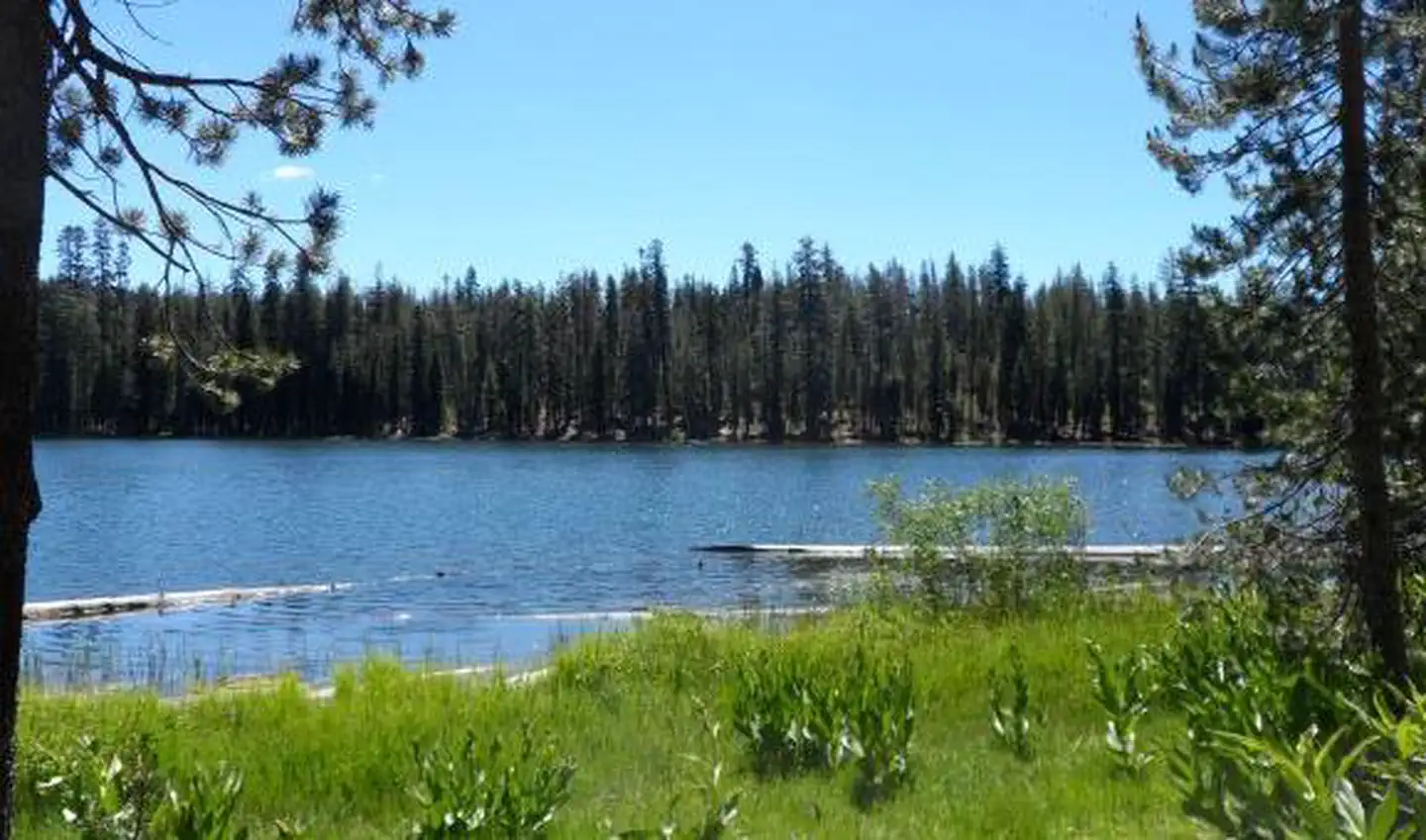
Cherry Lake is a fishing lake in California's Stanislaus National Forest, within the Groveland Ranger District. The Forest Service manages the land, and the lake sits about 0.7 miles from Cherry Valley Campground, the closest of several nearby places to plan around. The most comfortable months for a visit are typically late spring and early fall. Typical averages from the Cherry Valley Dam weather station, just 0.1 mile away, show May highs around 70°F and October highs around 70°F, with only a few wet days in each. Summer runs hotter, with July and August highs near 89°F, while winter brings highs in the upper 40s and a few snowy days each month from December through March. Cherry Valley Campground is the closest place to stay, and the Huckleberry Trail starts about 0.9 mile away. Kibbie Lake Trail and Cherry Creek, a canoeing route, are both within about 2 miles.
Cherry Borrow Site
Campground
Jack Spring Dining Hall
Fast food
Union Point
Viewpoint
Mountain in California, United States of America
Places © OpenStreetMap contributors
More in Yosemite ValleyBest months: May–June and September–October. Best months have typical highs of 55–85 °F, lows of 30 °F or warmer (32 °F where the station doesn't record snow), at most one snowy day and no more than 12 wet days.
Jan
49° / 31°
10 wet · 5 snow
Feb
51° / 31°
10 wet · 5 snow
Mar
55° / 33°
10 wet · 5 snow
Apr
61° / 37°
8 wet · 2 snow
May
70° / 44°
6 wet · 1 snow
Jun
80° / 51°
3 wet
Jul
89° / 58°
1 wet
Aug
89° / 57°
1 wet
Sep
82° / 53°
2 wet
Oct
70° / 44°
4 wet
Nov
57° / 36°
7 wet · 2 snow
Dec
49° / 31°
9 wet · 4 snow
Typical high / low (°F) and days with rain or snow, 1991–2020. Measured at Cherry Valley Dam, CA, 0.1 mi away at 4,765 ft. Source: NOAA NCEI U.S. Climate Normals 1991–2020.
SEE
Briceburg Put-in
~44 min drive
SEE
Lake Eleanor
~6 min drive
Lake Eleanor is a 1,019-acre lake near Groveland, California, at about 4,656 feet. It is managed by the National Park Service.
SEE
Pinecrest Day Use
~27 min drive
SEE
Highway 108 Corridor
~26 min drive
SEE
Swamp Lake
~9 min drive
Swamp Lake is a 17-acre lake in California, at about 5,034 feet. It is managed by the National Park Service.
SEE
Kibbie Lake
~11 min drive
Kibbie Lake is a 118-acre lake near Groveland, California, at about 6,513 feet. It is managed by the National Park Service.
SEE
Hetch Hetchy Reservoir
~13 min drive
Hetch Hetchy Reservoir is a 5-acre reservoir in California, at about 3,869 feet. It is managed by the National Park Service.
SEE
Spotted Fawn Lake
~17 min drive
Spotted Fawn Lake is a 74-acre lake in California, at about 7,325 feet. It is managed by the National Park Service.
SEE
Boundary Lake
~18 min drive
Boundary Lake is a 53-acre lake in California, at about 7,529 feet. It is managed by the National Park Service.
SEE
Lake Vernon
~20 min drive
Lake Vernon is a 10-acre lake in California, at about 6,569 feet. It is managed by the National Park Service.