Thompson Peak
- 5,293 ft
- summit
- 1
- way up
- May–Jun, Sep–Oct
- best months
Is Thompson Peak open right now?
Closure in the area
There's a closure order in Stanislaus National Forest. It doesn't name Thompson Peak, so check the source for the area it covers (2 listed).
Stanislaus National Forest extends seasonal MVUM closure for two high elevation roads
Agency closure covering Stanislaus National Forest · USFS · Stanislaus National Forest
Extension of Seasonal Road Closures
Agency closure covering Stanislaus National Forest · USFS · Stanislaus National Forest
As of · Source: USFS · Stanislaus National Forest. Agencies don't list every closure — check before you go.
Thompson Peak is a summit of 5,293 feet in the Mi-Wok Ranger District of Stanislaus National Forest in California, about 7 miles from the town of Mi-Wuk Village. Late spring and early fall are the most comfortable times to go. Typical averages from the Cherry Valley Dam weather station, about 8.5 miles away, show May highs near 70°F and October highs near 70°F, while July and August average highs around 89°F. Thomas Peak and Whittle Upper Camp are both about a mile away. Reed Creek, a canoeing spot, is about 2.5 miles off, and Hacienda campground is about 6 miles away.
Conditions and forecast
Daily highs and lows, wind and the chance of precipitation at the summit and route start for the next 7 days, from the Open-Meteo model.
- Summit elevation
- 5,293 ft
Elevation from USGS 3D Elevation Program terrain data (about 10 m resolution).
Map © Mapbox © OpenStreetMap contributors Questions about Thompson Peak
How tall is Thompson Peak?
5,293 ft (1,613 m).
How many routes go to the summit of Thompson Peak?
One: Thomas Peak.
When is the best time to climb Thompson Peak?
Year-round.
- North Mountain5,758 ft · California3 routes11 mi away
- Burst Rock9,154 ft · California1 route18 mi away
- Smith Peak7,747 ft · California1 route19 mi away
- Brown Peak5,646 ft · California1 route29 mi away
- Artist Point4,781 ft · California1 route29 mi away
 El Capitan7,779 ft · California1 route30 mi awayPhoto: Fernando Guachiak, CC BY-SA 4.0 (via Wikimedia Commons)
- Thomas PeakHiking1.2 mi
- Whittle Upper CampHiking1.2 mi
- Reed CreekCanoeing2.5 mi
- Clavey RiverCanoeing3.7 mi
- HaciendaCamping6.1 mi
- Hull CreekCamping6.7 mi
- Roadside RocksRock climbing7.6 mi
- Beached Whale BouldersRock climbing7.9 mi
Source: Roamze catalog (indexable pages within 10 miles, PostGIS distance)
 Kolana RockSummit · ~29 min drivePhoto: Crimoid, CC BY 3.0 (via Wikimedia Commons)
 Hetch Hetchy DomeSummit · ~30 min drivePhoto: Richard Wood, CC BY-SA 3.0 (via Wikimedia Commons)
- El CapitanSummit · ~51 min drivePhoto: Fernando Guachiak, CC BY-SA 4.0 (via Wikimedia Commons)
 Night Cap PeakSummit · ~51 min drivePhoto: Tom Hilton, CC BY 2.0 (via Wikimedia Commons)
 Tower PeakSummit · ~52 min drivePhoto: Tom Hilton, CC BY 2.0 (via Wikimedia Commons)
 Leavitt PeakSummit · ~52 min drivePhoto: Miguel.v, Public domain (via Wikimedia Commons)
 Eagle PeakSummit · ~52 min drivePhoto: Glenn Scofield Williams, CC BY 2.0 (via Wikimedia Commons)
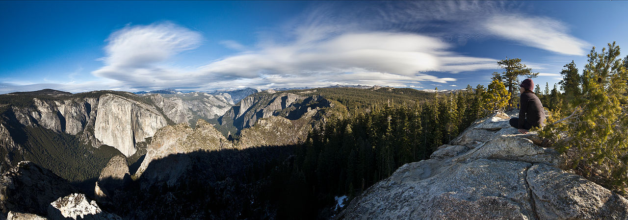 Dewey PointSummit · ~53 min drivePhoto: Jeffrey Pang from Berkeley, CA, USA, CC BY 2.0 (via Wikimedia Commons)
 Taft PointSummit · ~55 min drivePhoto: Dave from San Jose, CA, USA, CC BY 2.0 (via Wikimedia Commons)
 Mount HoffmannSummit · ~55 min drivePhoto: David McCracken, CC BY 2.0 (via Wikimedia Commons)
Best time to visit Thompson Peak
Best months: May–June and September–October. Best months have typical highs of 55–85 °F, lows of 30 °F or warmer (32 °F where the station doesn't record snow), at most one snowy day and no more than 12 wet days.
Jan
49° / 31°
10 wet · 5 snow
Feb
51° / 31°
10 wet · 5 snow
Mar
55° / 33°
10 wet · 5 snow
Apr
61° / 37°
8 wet · 2 snow
May
70° / 44°
6 wet · 1 snow
Jun
80° / 51°
3 wet
Jul
89° / 58°
1 wet
Aug
89° / 57°
1 wet
Sep
82° / 53°
2 wet
Oct
70° / 44°
4 wet
Nov
57° / 36°
7 wet · 2 snow
Dec
49° / 31°
9 wet · 4 snow
Typical high / low (°F) and days with rain or snow, 1991–2020. Measured at Cherry Valley Dam, CA, 8.5 mi away at 4,765 ft. The station sits about 500 ft lower than this place, so expect it a little cooler here. Source: NOAA NCEI U.S. Climate Normals 1991–2020.

