Frog Bayou
- 16.5 mi
- distance
- 1,653 ft
- high point
- Mar–Jul, Sep–Nov
- best months
Caution at last check
Agency alerts are in effect for this area; weather is good · USFS, usgs_nwis, OpenWeather · checked 16 h ago
Is Frog Bayou open right now?
Closure in the area
There's a closure order in Ozark-St. Francis National Forest. It doesn't name Frog Bayou, so check the source for the area it covers (6 listed).
Wildfire Risk Increases in Arkansas and Oklahoma
Agency closure covering Ozark-St. Francis National Forest · USFS · Ozark-St. Francis National Forest
Spring Lake Recreation Area Closed For Rest of 2026 Season
Agency closure covering Ozark-St. Francis National Forest · USFS · Ozark-St. Francis National Forest
Lake Wedington Recreation Area Water Line Project
Agency closure covering Ozark-St. Francis National Forest · USFS · Ozark-St. Francis National Forest
FSR 1806B Closed
Agency closure covering Ozark-St. Francis National Forest · USFS · Ozark-St. Francis National Forest
Sylamore District Flood and Tornado Closures
Agency closure covering Ozark-St. Francis National Forest · USFS · Ozark-St. Francis National Forest
As of · Source: USFS · Ozark-St. Francis National Forest. Agencies don't list every closure — check before you go.
Frog Bayou is a canoeing spot in Arkansas, set within the Boston Mountain Ranger District of the Ozark-St. Francis National Forest. The Forest Service manages the land, and the nearest town is Winslow, about 16 miles away. Spring and fall are the most comfortable times to paddle. Typical averages from a nearby weather station show May highs around 73°F and October highs around 68°F, while July and August climb to the mid-80s. Main Bluffline, a climbing area, is about 3 miles away. White Rock Campground and the White Rock - Shores Lake Loop hike are each about 6 miles off, and Shores Lake Campground is roughly 8 miles away.
Local outfitters
- Kings River Outfitters47 mi away
Not on Roamze yet. Their page has how to reach them.
- Main BlufflineRock climbing2.9 mi
- White Rock - Shores Lake LoopHiking5.9 mi
 White Rock CgCampingPhoto: miketnorton, CC BY 2.0 (via Wikimedia Commons)6.1 mi
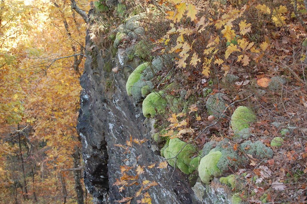 White Rock Mtn Rim LoopHikingPhoto: adam*b, CC BY 2.0 (via Flickr)6.1 mi
- White Rock Mountain Rim TrailHikingPhoto: adam*b, CC BY 2.0 (via Flickr)6.3 mi
- Fern NorthRock climbing7.4 mi
 Shores Lake CgCampingPhoto: Brandonrush, CC BY-SA 3.0 (via Wikimedia Commons)7.6 mi
- P.K. BoulderRock climbing7.6 mi
Source: Roamze catalog (indexable pages within 10 miles, PostGIS distance)
 White RiverCanoeing · ~32 min drivePhoto: Unknown author, Public domain (via Wikimedia Commons)
- Campbell Cemetery Boating SiteBoat launch · ~18 min drive
 Illinois RiverCanoeing · ~37 min drivePhoto: US Army Corps of Engineers, Public domain (via Wikimedia Commons)
- Turner Bend LandingBoat launch · ~23 min drive
 Mulberry RiverCanoeing · ~50 min drivePhoto: Mulberry_River_-_Arkansas.jpg: Tonya Stinson derivative work: Nesnad, CC BY 3.0 (via Wikimedia Commons)
- Lee Creek Upper Canoe AccessBoat launch · ~26 min drive
 Kings RiverCanoeing · ~57 min drivePhoto: Brandonrush, CC BY-SA 3.0 (via Wikimedia Commons)
- Lee Creek Lower Canoe AccessBoat launch · ~27 min drive
- West Fork White RiverCanoeing · ~21 min drive
- Indian Creek Canoe And Trailhead Boating SiteBoat launch · ~34 min drive
Best time to visit Frog Bayou
Best months: March–July and September–November. Best months have typical highs of 55–85 °F, lows of 30 °F or warmer (32 °F where the station doesn't record snow), at most one snowy day and no more than 12 wet days.
Jan
44° / 28°
Feb
49° / 30°
Mar
57° / 37°
Apr
66° / 48°
May
73° / 56°
Jun
82° / 65°
Jul
85° / 69°
Aug
87° / 69°
Sep
78° / 61°
Oct
68° / 51°
Nov
55° / 40°
Dec
46° / 30°
Typical high / low (°F) and days with rain or snow, 1991–2020. Measured at Winslow 7ne, AR, 9.6 mi away at 2,189 ft. The station sits about 500 ft higher than this place, so expect it a little warmer here. This station doesn't record snowfall. Source: NOAA NCEI U.S. Climate Normals 1991–2020.
