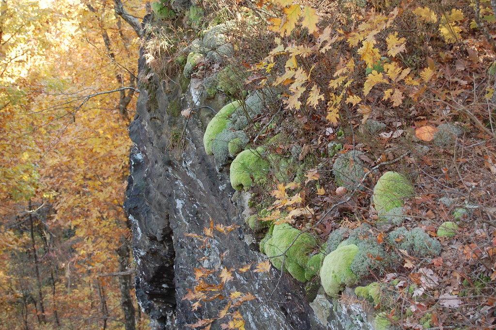
Shores Lake Cg
Campground
Campground · < 0.1 mi from the trail
 Photo: Brandonrush, CC BY-SA 3.0 (via Wikimedia Commons)
Closure in the area
There's a closure order in Ozark-St. Francis National Forest. It doesn't name Shores Lake Cg, so check the source for the area it covers (6 listed).
Wildfire Risk Increases in Arkansas and Oklahoma
Agency closure covering Ozark-St. Francis National Forest · USFS · Ozark-St. Francis National Forest
Spring Lake Recreation Area Closed For Rest of 2026 Season
Agency closure covering Ozark-St. Francis National Forest · USFS · Ozark-St. Francis National Forest
Lake Wedington Recreation Area Water Line Project
Agency closure covering Ozark-St. Francis National Forest · USFS · Ozark-St. Francis National Forest
FSR 1806B Closed
Agency closure covering Ozark-St. Francis National Forest · USFS · Ozark-St. Francis National Forest
Sylamore District Flood and Tornado Closures
Agency closure covering Ozark-St. Francis National Forest · USFS · Ozark-St. Francis National Forest
As of · Source: USFS · Ozark-St. Francis National Forest. Agencies don't list every closure — check before you go.
Shores Lake Recreation Area offers an 82-acre lake with a fully accessible bathroom facility with ramps. The fishing piers were designed with wheelchair use in mind. Underwater structures were built to attract fish to the fishing piers. The pavilion is also fully accessible and is available by reservation. Construction of the dam at Shores Lake began in the 1930s by men in a nearby Civilian Conservation Corps camp. The dam was completed in 1958. A cooperative effort between the USDA Forest Service and the Arkansas Game and Fish Commission helped complete the structure. Shores Lake Loop Trail is a showcase of upland hardwoods and shortleaf pine groves. The trail treats hikers to views of waterfalls and wildlife. 18 campsites and 28 family picnicking units. Pavilion for group picnicking by reservation only. Camping trailers allowed, no hook-ups or dumpsite available. Electric sites have 110 outlet & 30 amp outlet access. Due to remote location of campground, water and electricity may be temporarily unavailable during inclement weather or other emergency situations. At the back side of the Campground, there is a parking lot for access to Shores Lake Loop trails which connect to White Rock Recreation Area, rim trail and the Ozark Highland Trail.
Shores Lake Cg
Campground
Paradise Pizza Pub
Pizza restaurant
Ozark Area Depot Museum
Museum
Places © OpenStreetMap contributors, Places © Overture Maps Foundation
More in Coal HillNot on Roamze yet. Their page has how to reach them.
 White Rock CgCampingPhoto: miketnorton, CC BY 2.0 (via Wikimedia Commons)3.3 mi
Source: Roamze catalog (indexable pages within 10 miles, PostGIS distance)
White Rock CgCamping · ~6 min drivePhoto: miketnorton, CC BY 2.0 (via Wikimedia Commons) Lake Wedington Rec. AreaCamping · ~1h 6m drivePhoto: Brandonrush, CC BY-SA 3.0 (via Wikimedia Commons)
 Cove Lake Campground ComplexCamping · ~60 min drivePhoto: Valis55, CC BY-SA 3.0 (via Wikimedia Commons)
Best months: March–May and September–November. Best months have typical highs of 55–85 °F, lows of 30 °F or warmer (32 °F where the station doesn't record snow), at most one snowy day and no more than 12 wet days.
Jan
48° / 28°
7 wet
Feb
54° / 32°
7 wet
Mar
62° / 39°
9 wet
Apr
71° / 48°
9 wet
May
79° / 57°
10 wet
Jun
87° / 66°
9 wet
Jul
92° / 70°
8 wet
Aug
91° / 69°
7 wet
Sep
84° / 62°
6 wet
Oct
73° / 50°
8 wet
Nov
61° / 39°
8 wet
Dec
51° / 32°
7 wet
Typical high / low (°F) and days with rain or snow, 1991–2020. Measured at Ozark 2, AR, 10.5 mi away at 830 ft. This station doesn't record snowfall. Source: NOAA NCEI U.S. Climate Normals 1991–2020.
Shores Lake Road (FS1501) Under Construction
Ozark-St. Francis National Forest · Order dated October 30, 2025; seen Aug 23, 2026, no lift recorded · Forest Service