White Rock Cg
Campground
Campground · 0.3 mi from the trail
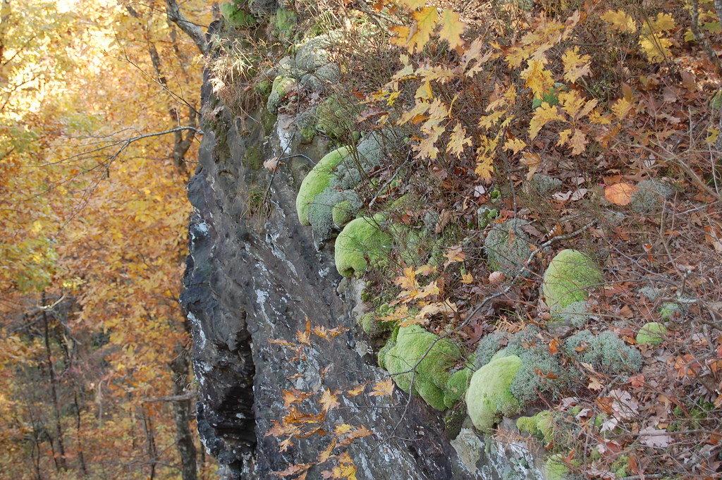 Photo: adam*b, CC BY 2.0 (via Flickr)
Closure in the area
There's a closure order in Ozark-St. Francis National Forest. It doesn't name White Rock Mountain Rim Trail, so check the source for the area it covers (9 listed).
Ozark Highlands Trail Access During ARDOT Hwy 123 Big Piney Creek Bridge Reconstruction
Agency closure covering Ozark-St. Francis National Forest · USFS · Ozark-St. Francis National Forest
Wildfire Risk Increases in Arkansas and Oklahoma
Agency closure covering Ozark-St. Francis National Forest · USFS · Ozark-St. Francis National Forest
Spring Lake Recreation Area Closed For Rest of 2026 Season
Agency closure covering Ozark-St. Francis National Forest · USFS · Ozark-St. Francis National Forest
Lake Wedington Recreation Area Water Line Project
Agency closure covering Ozark-St. Francis National Forest · USFS · Ozark-St. Francis National Forest
Morgan Mtn Rd Partially Closed for Road Repair
Agency closure covering Ozark-St. Francis National Forest · USFS · Ozark-St. Francis National Forest
As of · Source: USFS · Ozark-St. Francis National Forest. Agencies don't list every closure — check before you go.
White Rock Mountain Rim Trail is a short, out-and-back hike in Arkansas's Ozark-St. Francis National Forest, within the Boston Mountain Ranger District. The trail is managed by the Forest Service and sits at about 2,240 feet, with a high point of 2,263 feet and a low of 2,192 feet. The route is about 1.9 miles long and rises roughly 57 feet, so it's a gentle climb to the top and back. The most comfortable time to go is late spring or early fall. Typical averages from a nearby weather station show May highs around 73°F and October highs near 68°F, while July and August climb into the mid-80s. The Ozark Highlands Trail starts just 0.1 mile away, and White Rock Campground and the White Rock Mtn Rim Loop are each about 0.3 mile off. Shores Lake Campground is about 3.2 miles away.
White Rock Cg
Campground
Cass Job Corps Cafeteria
Restaurant
Ozark Area Depot Museum
Museum
Places © OpenStreetMap contributors
More in Coal HillNot on Roamze yet. Their page has how to reach them.
Best months: March–July and September–November. Best months have typical highs of 55–85 °F, lows of 30 °F or warmer (32 °F where the station doesn't record snow), at most one snowy day and no more than 12 wet days.
Jan
44° / 28°
Feb
49° / 30°
Mar
57° / 37°
Apr
66° / 48°
May
73° / 56°
Jun
82° / 65°
Jul
85° / 69°
Aug
87° / 69°
Sep
78° / 61°
Oct
68° / 51°
Nov
55° / 40°
Dec
46° / 30°
Typical high / low (°F) and days with rain or snow, 1991–2020. Measured at Winslow 7ne, AR, 12.1 mi away at 2,189 ft. This station doesn't record snowfall. Source: NOAA NCEI U.S. Climate Normals 1991–2020.
Photo: adam*b, CC BY 2.0 (via Flickr)Ozark Highlands Trail
Next door
Arkansas's premier 201-mile Ozark Mountains long-distance hiking trail.
Photo: adam*b, CC BY 2.0 (via Flickr)White Rock Mtn Rim Loop
Next door
1.70-mile loop with 834 ft elevation gain on White Rock Mountain in Arkansas.
HIKE
White Rock-Shores Lake West
~5 min drive
8.43-mile out-and-back trail to Shores Lake in Arkansas with 1,868 ft gain.
HIKE
MILL CREEK TRAIL BLUE LOOP
~16 min drive
27.6-mile out-and-back trail in Arkansas with 3,501 ft elevation gain/loss
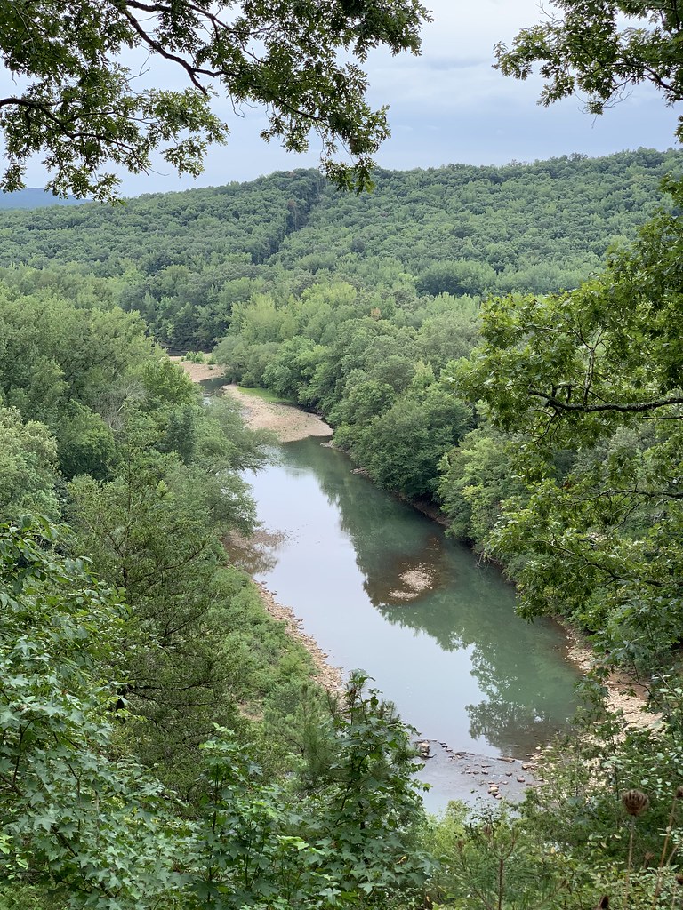 Photo: SlapTheWorld, Public Domain Dedication (CC0) (via Flickr)
Redding Loop East-Oht Spurs
~16 min drive
4.63-mile out-and-back trail in Arkansas with 1,693 ft gain.
 Photo: SlapTheWorld, Public Domain Dedication (CC0) (via Flickr)
Indian Creek Oht Spur
~24 min drive
0.49-mile out-and-back trail in Arkansas with 64 ft gain.
HIKE
Cave Mountain Road Trail
~46 min drive
8.13-mile out-and-back hike in Arkansas with 556 ft gain.
HIKE
Ozark Highlands Trail
~18 min drive
132-mile point-to-point Ozark trail through mountains and valleys.
HIKE
White Rock - Shores Lake Loop
~3 min drive
Moderate 9.6-mile loop around Shores Lake with forest and shoreline views.
 Photo: adam*b, CC BY 2.0 (via Flickr)
Butterfield Hiking Trail
~29 min drive
1.27-mile out-and-back hike in Arkansas with 318 ft elevation gain.
About 0.9 mi round trip.
About 864 ft of climbing round trip.
It is rated easy.
About 0.5 hours round trip.
2: White Rock Mountain Rim Trail and White Rock Mtn Rim Loop.
Daily highs and lows, wind and the chance of precipitation at the summit and route start for the next 7 days, from the Open-Meteo model.
Map and trail data © OpenStreetMap contributors

