Pig Trail Lodging & RV Park
Campground
Campground · 0.5 mi from the trail
Closure in the area
There's a closure order in Ozark-St. Francis National Forest. It doesn't name Turner Bend Landing, so check the source for the area it covers (6 listed).
Wildfire Risk Increases in Arkansas and Oklahoma
Agency closure covering Ozark-St. Francis National Forest · USFS · Ozark-St. Francis National Forest
Spring Lake Recreation Area Closed For Rest of 2026 Season
Agency closure covering Ozark-St. Francis National Forest · USFS · Ozark-St. Francis National Forest
Lake Wedington Recreation Area Water Line Project
Agency closure covering Ozark-St. Francis National Forest · USFS · Ozark-St. Francis National Forest
FSR 1806B Closed
Agency closure covering Ozark-St. Francis National Forest · USFS · Ozark-St. Francis National Forest
Sylamore District Flood and Tornado Closures
Agency closure covering Ozark-St. Francis National Forest · USFS · Ozark-St. Francis National Forest
As of · Source: USFS · Ozark-St. Francis National Forest. Agencies don't list every closure — check before you go.
Turner Bend Landing is a boat launch in the Pleasant Hill Ranger District of the Ozark-St. Francis National Forest in Arkansas, about 11 miles from the town of St. Paul. The landing is managed by Turner Bend. Spring and fall are the most comfortable times to visit. Typical averages from a nearby weather station show October highs around 73°F with lows near 50°F, and April is similar at about 71°F by day and 48°F at night. July and August average highs in the low 90s. Redding Campground is about 2.5 miles away, and the Redding Loop East-Oht Spurs hike is about 2.6 miles off. Climbers can find Zone 13 at about 2.8 miles and Bigfoot Hollow at about 3.2 miles.
Pig Trail Lodging & RV Park
Campground
Paradise Pizza Pub
Pizza restaurant
Ozark Area Depot Museum
Museum
Places © OpenStreetMap contributors, Places © Overture Maps Foundation
More in Coal Hill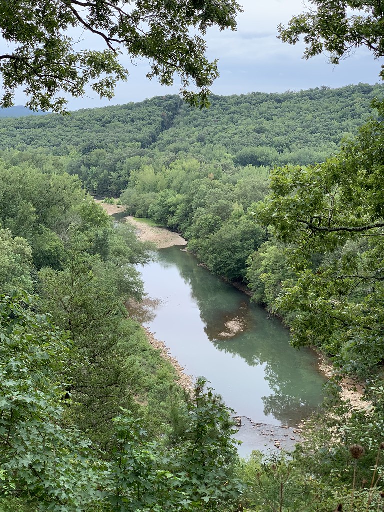 Redding Loop East-Oht SpursHikingPhoto: SlapTheWorld, Public Domain Dedication (CC0) (via Flickr)2.6 mi
 White Rock CgCampingPhoto: miketnorton, CC BY 2.0 (via Wikimedia Commons)7.4 mi
Source: Roamze catalog (indexable pages within 10 miles, PostGIS distance)
 White RiverCanoeing · ~21 min drivePhoto: Unknown author, Public domain (via Wikimedia Commons)
 Mulberry RiverCanoeing · ~28 min drivePhoto: Mulberry_River_-_Arkansas.jpg: Tonya Stinson derivative work: Nesnad, CC BY 3.0 (via Wikimedia Commons)
 Kings RiverCanoeing · ~47 min drivePhoto: Brandonrush, CC BY-SA 3.0 (via Wikimedia Commons)
 Illinois RiverCanoeing · ~57 min drivePhoto: US Army Corps of Engineers, Public domain (via Wikimedia Commons)
Also worth it near here
Best months: March–May and September–November. Best months have typical highs of 55–85 °F, lows of 30 °F or warmer (32 °F where the station doesn't record snow), at most one snowy day and no more than 12 wet days.
Jan
48° / 28°
7 wet
Feb
54° / 32°
7 wet
Mar
62° / 39°
9 wet
Apr
71° / 48°
9 wet
May
79° / 57°
10 wet
Jun
87° / 66°
9 wet
Jul
92° / 70°
8 wet
Aug
91° / 69°
7 wet
Sep
84° / 62°
6 wet
Oct
73° / 50°
8 wet
Nov
61° / 39°
8 wet
Dec
51° / 32°
7 wet
Typical high / low (°F) and days with rain or snow, 1991–2020. Measured at Ozark 2, AR, 11.1 mi away at 830 ft. This station doesn't record snowfall. Source: NOAA NCEI U.S. Climate Normals 1991–2020.
Map and trail data © OpenStreetMap contributors
