Horsehead Lake Cg
Campground
Campground · < 0.1 mi from the trail
Closure in the area
There's a closure order in Ozark-St. Francis National Forest. It doesn't name Horsehead Trail, so check the source for the area it covers (6 listed).
Wildfire Risk Increases in Arkansas and Oklahoma
Agency closure covering Ozark-St. Francis National Forest · USFS · Ozark-St. Francis National Forest
Spring Lake Recreation Area Closed For Rest of 2026 Season
Agency closure covering Ozark-St. Francis National Forest · USFS · Ozark-St. Francis National Forest
Lake Wedington Recreation Area Water Line Project
Agency closure covering Ozark-St. Francis National Forest · USFS · Ozark-St. Francis National Forest
FSR 1806B Closed
Agency closure covering Ozark-St. Francis National Forest · USFS · Ozark-St. Francis National Forest
Sylamore District Flood and Tornado Closures
Agency closure covering Ozark-St. Francis National Forest · USFS · Ozark-St. Francis National Forest
As of · Source: USFS · Ozark-St. Francis National Forest. Agencies don't list every closure — check before you go.
Horsehead Trail is a 4.8-mile out-and-back hike in the Pleasant Hill Ranger District of the Ozark-St. Francis National Forest in Arkansas. The Forest Service manages the land, and the trail is rated moderate. The climb starts at about 711 feet and rises to a high point of 896 feet, with a total gain and loss of about 686 feet over the course of the trip. The steepest section comes at about 2.3 miles, where the grade reaches about 9 percent. The trail's natural surface carries hikers across the forested high ground. Spring and fall are the most comfortable times to go. Typical averages from a nearby weather station in Clarksville show April highs around 70°F and October highs around 72°F, while July and August average about 90°F. Horsehead Lake Campground sits just 0.1 mile away. Horsehead Creek, about 1.7 miles off, offers canoeing. The Mulberry Wild and Scenic River is roughly 7.5 miles away, and Wolf Pen Campground is about 7.6 miles out.
Horsehead Lake Cg
Campground
Oark General Store
Restaurant
Ozark Area Depot Museum
Museum
Places © OpenStreetMap contributors
More in Coal Hill Indian Creek Oht SpurHikingPhoto: SlapTheWorld, Public Domain Dedication (CC0) (via Flickr)9.1 mi
 Mulberry RiverCanoeingPhoto: Mulberry_River_-_Arkansas.jpg: Tonya Stinson derivative work: Nesnad, CC BY 3.0 (via Wikimedia Commons)9.8 mi
Source: Roamze catalog (indexable pages within 10 miles, PostGIS distance)
Indian Creek Oht SpurHiking · ~16 min drivePhoto: SlapTheWorld, Public Domain Dedication (CC0) (via Flickr)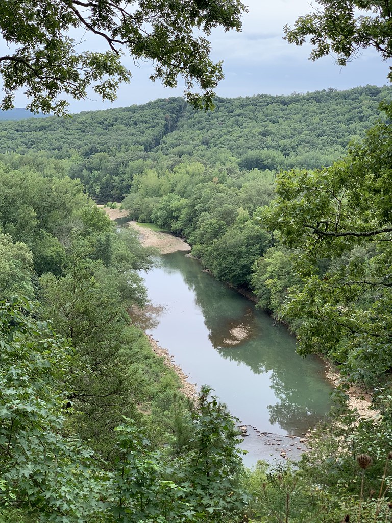 Redding Loop East-Oht SpursHiking · ~20 min drivePhoto: SlapTheWorld, Public Domain Dedication (CC0) (via Flickr)
 Buffalo Creek TrailHiking · ~38 min drivePhoto: Tony Webster — CC BY 2.0 (via Flickr)
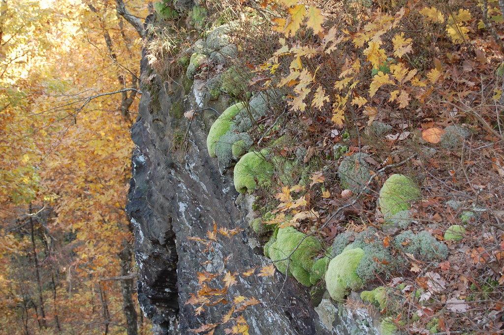 White Rock Mountain Rim TrailHiking · ~34 min drivePhoto: adam*b, CC BY 2.0 (via Flickr)Ozark Highlands TrailHiking · ~33 min drivePhoto: adam*b, CC BY 2.0 (via Flickr)White Rock Mtn Rim LoopHiking · ~34 min drivePhoto: adam*b, CC BY 2.0 (via Flickr)
Also worth it near here
Best months: March–June and September–November. Best months have typical highs of 55–85 °F, lows of 30 °F or warmer (32 °F where the station doesn't record snow), at most one snowy day and no more than 12 wet days.
Jan
47° / 29°
8 wet
Feb
52° / 32°
7 wet
Mar
60° / 40°
10 wet
Apr
70° / 49°
9 wet
May
77° / 59°
11 wet
Jun
85° / 67°
9 wet
Jul
90° / 71°
8 wet
Aug
90° / 70°
7 wet
Sep
83° / 63°
7 wet
Oct
72° / 52°
8 wet
Nov
59° / 41°
8 wet
Dec
49° / 33°
8 wet
Typical high / low (°F) and days with rain or snow, 1991–2020. Measured at Clarksville 6 Ne, AR, 13.5 mi away at 850 ft. Source: NOAA NCEI U.S. Climate Normals 1991–2020.
