Virgin River Canyon Recreation Area
Campground
Sites open the weekend of Nov 20 on Recreation.gov
 Photo: Stan Shebs, CC BY-SA 3.0 (via Wikimedia Commons)
Yellow Knolls is a summit in Mohave County, Arizona, rising to about 2,779 feet inside the Beaver Dam Mountains Wilderness. The land is managed by the Bureau of Land Management's Arizona Strip Field Office, and the nearest town is Beaver Dam, about 12 miles away. The station sits at nearly the same elevation as the summit, so its figures are a fair guide to conditions on top. Spring and fall are the most comfortable times to visit, with typical April highs around 75°F and October highs near 79°F, according to averages from a nearby weather station in St. George, Utah. Summer is hot, with typical July highs around 102°F. The closest recreation is Virgin River Canyon Recreation Area, a campground about 3 miles away. The Virgin River Gorge climbing area lies about 6 miles off, and the Virgin River paddling stretch is about 8 miles away. Just across the Utah line, the Bupstarch Loop hike is about 8 miles from the summit.
Virgin River Canyon Recreation Area
Campground
Back Spin Bistro
American restaurant
 If it rainsMay2017, CC BY-SA 4.0 · Wikimedia Commons
Children's museum in Utah, USA
Places © OpenStreetMap contributors, Places © Overture Maps Foundation · Photos: May2017, CC BY-SA 4.0 (commons)
More in HurricaneDaily highs and lows, wind and the chance of precipitation at the summit for the next 7 days, from the Open-Meteo model.
Elevation from USGS 3D Elevation Program terrain data (about 10 m resolution).
We don't know of a mapped trail or route to the summit of Yellow Knolls. Plan the approach with local maps, a guidebook or a local guide, and check conditions before you go.
2,779 ft (847 m).
We don't know of a mapped trail or route to the summit. Plan the approach with local maps, a guidebook or a local guide.

 Virgin River GorgeRock climbingPhoto: isydia Vibes, Public Domain Mark (via Flickr)5.9 mi
 Kelly's RockRock climbingPhoto: Parker James Lloyd, CC BY 4.0 (via Wikimedia Commons)6.6 miBlack and TanRock climbingPhoto: Parker James Lloyd, CC BY 4.0 (via Wikimedia Commons)6.6 mi
 Virgin RiverCanoeingPhoto: Stan Shebs, CC BY-SA 3.0 (via Wikimedia Commons)7.7 mi
Source: Roamze catalog (indexable pages within 10 miles, PostGIS distance)
North Black RocksSummit · ~26 min drivePhoto: Masohpotato, CC BY-SA 3.0 (via Wikimedia Commons) Signal PeakSummit · ~47 min drivePhoto: Zettabyte, CC BY 3.0 (via Wikimedia Commons)
 Hurricane MesaSummit · ~1h 2m drivePhoto: Kayputk, CC BY-SA 3.0 (via Wikimedia Commons)
 Mormon MesaSummit · ~1h 5m drivePhoto: Agnieszka Kwiecień, Nova, CC BY-SA 4.0 (via Wikimedia Commons)
 Smithsonian ButteSummit · ~1h 5m drivePhoto: Konrad Summers, CC BY-SA 2.0 (via Wikimedia Commons)
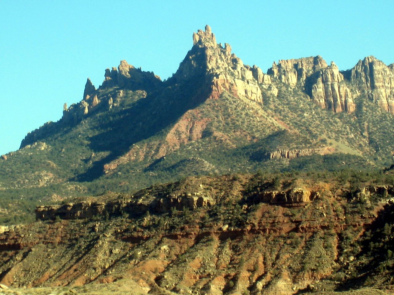 Eagle CragsSummit · ~1h 12m drivePhoto: Bruce Tuten, CC BY 2.0 (via Wikimedia Commons)
 Tabernacle DomeSummit · ~1h 13m drivePhoto: Stefan Serena, CC0 (via Wikimedia Commons)
 Red ButteSummit · ~1h 13m drivePhoto: John Dahlstet, CC BY 2.0 (via Wikimedia Commons)
 Cave KnollSummit · ~1h 13m drivePhoto: Stefan Serena, CC0 (via Wikimedia Commons)
 The West TempleSummit · ~1h 14m drivePhoto: Don Graham from Redlands, CA, USA - God bless it!, CC BY-SA 2.0 (via Wikimedia Commons)
Also worth it near here
Best months: February–May and October–November. Best months have typical highs of 55–85 °F, lows of 30 °F or warmer (32 °F where the station doesn't record snow), at most one snowy day and no more than 12 wet days.
Jan
54° / 28°
5 wet
Feb
59° / 32°
5 wet
Mar
68° / 39°
5 wet
Apr
75° / 46°
3 wet
May
85° / 55°
3 wet
Jun
96° / 64°
2 wet
Jul
102° / 72°
3 wet
Aug
100° / 70°
3 wet
Sep
92° / 61°
2 wet
Oct
79° / 47°
3 wet
Nov
64° / 35°
3 wet
Dec
53° / 28°
5 wet
Typical high / low (°F) and days with rain or snow, 1991–2020. Measured at St George, UT, 12.5 mi away at 2,857 ft. Source: NOAA NCEI U.S. Climate Normals 1991–2020.
