Sand Pit Campground
Campground
Campground · 4.4 mi from the trail
Sand Mountain is a summit of 4,218 feet in Utah's Color Country District on Bureau of Land Management land, about 8 miles from the town of Hurricane. It sits at the center of a cluster of trails, with the East Rim Trail (3) passing just 0.1 mile away and the Razzle Dazzel (4) & East Rim Trail (3) route about 0.2 mile off. Spring and fall are the most comfortable times to visit. Typical averages from the La Verkin weather station, about 13 miles away, show April highs near 73°F and October highs near 76°F, while July averages climb to about 98°F. That station sits roughly 1,000 feet below the summit, so temperatures on top run cooler. Nearby options include the Razzle Dazzel Trail (4) about 0.4 mile away, Fort Pearce Wash for canoeing about 4 miles off, and the Southwest Utah climbing area about 6 miles away.
Sand Pit Campground
Campground
The Grille At Sand Hollow Resort
Restaurant
Western Sky Aviation Warbird Museum
Museum
Aviation museum in St. George, Utah
Places © OpenStreetMap contributors, Places © Overture Maps Foundation
More in HurricaneDaily highs and lows, wind and the chance of precipitation at the summit and route start for the next 7 days, from the Open-Meteo model.
Elevation from USGS 3D Elevation Program terrain data (about 10 m resolution).
| Razzle Dazzel (4) & East Rim Trail (3) | East Rim Trail (3) | |
|---|---|---|
| Climbing | About 167 ft | About 140 ft |
| Round trip | 0.6 mi | 1.0 mi |
| Difficulty | Easy | Easy |
| Terrain | Hike | Hike |
4,218 ft (1,286 m).
2: Razzle Dazzel (4) & East Rim Trail (3) and East Rim Trail (3).
Razzle Dazzel (4) & East Rim Trail (3), about 0.6 mi round trip.

Source: Roamze catalog (indexable pages within 10 miles, PostGIS distance)
North Black RocksSummit · ~29 min drivePhoto: Masohpotato, CC BY-SA 3.0 (via Wikimedia Commons) Smithsonian ButteSummit · ~31 min drivePhoto: Konrad Summers, CC BY-SA 2.0 (via Wikimedia Commons)
 Yellow KnollsSummit · ~34 min drivePhoto: Stan Shebs, CC BY-SA 3.0 (via Wikimedia Commons)
 Signal PeakSummit · ~35 min drivePhoto: Zettabyte, CC BY 3.0 (via Wikimedia Commons)
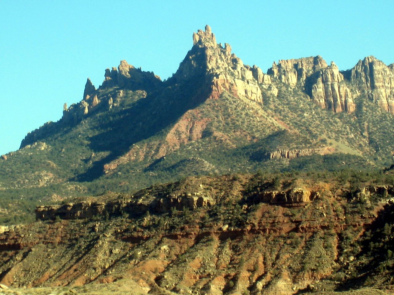 Eagle CragsSummit · ~37 min drivePhoto: Bruce Tuten, CC BY 2.0 (via Wikimedia Commons)
 The West TempleSummit · ~41 min drivePhoto: Don Graham from Redlands, CA, USA - God bless it!, CC BY-SA 2.0 (via Wikimedia Commons)
 Johnson MountainSummit · ~41 min drivePhoto: Doc Searls, CC BY-SA 2.0 (via Wikimedia Commons)
 Altar of SacrificeSummit · ~42 min drivePhoto: Don Graham from Redlands, CA, USA - God bless it!, CC BY-SA 2.0 (via Wikimedia Commons)
 Tabernacle DomeSummit · ~42 min drivePhoto: Stefan Serena, CC0 (via Wikimedia Commons)
 South MountainSummit · ~42 min drivePhoto: George A. Grant, Public domain (via Wikimedia Commons)
Best months: February–May and October–November. Best months have typical highs of 55–85 °F, lows of 30 °F or warmer (32 °F where the station doesn't record snow), at most one snowy day and no more than 12 wet days.
Jan
52° / 29°
6 wet
Feb
57° / 33°
6 wet
Mar
66° / 40°
6 wet
Apr
73° / 44°
4 wet
May
83° / 52°
4 wet
Jun
93° / 61°
2 wet
Jul
98° / 68°
3 wet
Aug
96° / 67°
5 wet
Sep
89° / 59°
4 wet
Oct
76° / 47°
4 wet
Nov
62° / 35°
4 wet
Dec
51° / 28°
5 wet
Typical high / low (°F) and days with rain or snow, 1991–2020. Measured at La Verkin, UT, 13.1 mi away at 3,194 ft. The station sits about 1,000 ft lower than this place, so expect it a little cooler here. Source: NOAA NCEI U.S. Climate Normals 1991–2020.

