Cochise Stronghold
Campground
Campground · 5.5 mi from the trail
Alert in the area
The Forest Service lists 3 alerts for Coronado National Forest.
Border Barrier Construction Closure
Agency alert covering Coronado National Forest · Order 03-05-00-26-011 · USFS · Coronado National Forest
No Fire Restrictions
Agency alert covering Coronado National Forest · USFS · Coronado National Forest
Barfoot Snake Closure Order 03-05-01-24-004
Agency alert covering Coronado National Forest · USFS · Coronado National Forest
As of · Source: USFS · Coronado National Forest. Agencies don't list every closure — check before you go.
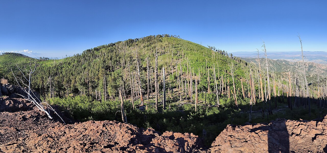
Smith Hill is a summit of 4,949 feet in the Douglas Ranger District of Coronado National Forest in Arizona, about 10 miles from the town of Tombstone. Spring and fall are the most comfortable times to go. Typical averages from a nearby weather station in Tombstone show April highs around 79°F and October highs around 81°F, while July and August average in the low 90s and bring the most wet days of the year. The Smith Hill Trail starts less than a mile away, and the climbing areas Behind Sweet Rock and Sweet Rock are each about a mile off. For a longer outing, Slavin Gulch is about 1.5 miles away.
Cochise Stronghold
Campground
Puny John's BBQ
Restaurant
Livery and horse corral in Tombstone, Arizona (1879-1888)
Places © OpenStreetMap contributors
More in WhetstoneDaily highs and lows, wind and the chance of precipitation at the summit for the next 7 days, from the Open-Meteo model.
Elevation from USGS 3D Elevation Program terrain data (about 10 m resolution).
We don't know of a mapped trail or route to the summit of Smith Hill. Plan the approach with local maps, a guidebook or a local guide, and check conditions before you go.
4,949 ft (1,508 m).
We don't know of a mapped trail or route to the summit. Plan the approach with local maps, a guidebook or a local guide.


Source: Roamze catalog (indexable pages within 10 miles, PostGIS distance)
Miller PeakSummit · ~1h 1m drivePhoto: Seabamirum (Tim), CC BY 2.0 (via Wikimedia Commons) Coronado PeakSummit · ~1h 6m drivePhoto: StellarD, CC BY-SA 4.0 (via Wikimedia Commons)
 Mica MountainSummit · ~1h 8m drivePhoto: All Fronts Quiet, CC BY-SA 3.0 (via Wikimedia Commons)
 Apache PeakSummit · ~41 min drivePhoto: Pete Forsyth, CC BY 3.0 (via Wikimedia Commons)Carr PeakSummit · ~60 min drivePhoto: alb8001, Public domain (via Wikimedia Commons)
 Chiricahua PeakSummit · ~1h 14m drivePhoto: BubbaJuice, CC0 (via Wikimedia Commons)
 Silver PeakSummit · ~1h 23m drivePhoto: T. Dyess, Public domain (via Wikimedia Commons)
Best months: October–April. Best months have typical highs of 55–85 °F, lows of 30 °F or warmer (32 °F where the station doesn't record snow), at most one snowy day and no more than 12 wet days.
Jan
62° / 38°
4 wet
Feb
64° / 40°
4 wet
Mar
71° / 44°
3 wet
Apr
79° / 49°
1 wet
May
87° / 57°
1 wet
Jun
96° / 66°
3 wet
Jul
94° / 68°
10 wet
Aug
92° / 67°
10 wet
Sep
89° / 64°
6 wet
Oct
81° / 54°
3 wet
Nov
70° / 45°
3 wet
Dec
61° / 38°
4 wet
Typical high / low (°F) and days with rain or snow, 1991–2020. Measured at Tombstone, AZ, 10.4 mi away at 4,659 ft. This station doesn't record snowfall. Source: NOAA NCEI U.S. Climate Normals 1991–2020.


