Spencer Canyon
Campground
Campground · 2.0 mi from the trail
 Photo: Debbie, CC BY 2.0 (via Wikimedia Commons)
Closure in the area
There's a closure order in Santa Catalina Ranger District. It doesn't name Aspen, so check the source for the area it covers.
Marshall Gulch Closure Order
Agency closure covering Santa Catalina Ranger District · Order 03-05-05-26-009 · USFS · Santa Catalina Ranger District
Border Barrier Construction Closure
Agency alert covering Coronado National Forest · Order 03-05-00-26-011 · USFS · Coronado National Forest
No Fire Restrictions
Agency alert covering Coronado National Forest · USFS · Coronado National Forest
Barfoot Snake Closure Order 03-05-01-24-004
Agency alert covering Coronado National Forest · USFS · Coronado National Forest
As of · Source: USFS · Santa Catalina Ranger District. Agencies don't list every closure — check before you go.
Aspen is a mountain biking route in the Santa Catalina Ranger District of Coronado National Forest in Arizona, about 3.7 miles long with a total elevation gain of 1,709 feet. The Forest Service manages the land, and the route starts at roughly 7,585 feet, rising to about 9,026 feet at the high point. The climb is steepest around the 2.9-mile mark, where the grade reaches about 34 percent. The route also has a total descent of 638 feet, so it's not a one-way climb. The trail sits right next to several climbing areas, including 8B Boulder, Gollum's and Gandalf's Gorge, all about 0.1 mile away. North Sabino Canyon Park is about 0.2 mile off, and the Sunset mountain biking trail is about 0.3 mile away. Spencer Canyon campground is about a mile away.
Spencer Canyon
Campground
Sawmill Run
Restaurant
Wildlife Viewing Area
Viewpoint
Places © OpenStreetMap contributors
More in OracleNot on Roamze yet. Their page has how to reach them.
Gollum'sRock climbingPhoto: Debbie, CC BY 2.0 (via Wikimedia Commons)0.1 mi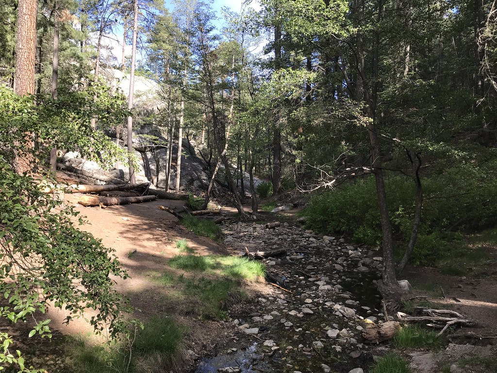 North Sabino Canyon ParkHikingPhoto: 666isMONEY ☮ ♥ & ☠, CC BY 2.0 (via Flickr)0.2 mi
 SunsetMountain bikingPhoto: Mcraycroft, CC BY-SA 4.0 (via Wikimedia Commons)0.3 miMarshall GulchMountain bikingPhoto: Mcraycroft, CC BY-SA 4.0 (via Wikimedia Commons)0.6 mi
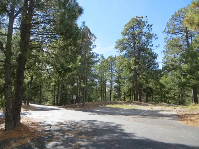 Whitetail CampgroundCampingPhoto: Recreation.gov (RIDB) / public domain1.6 mi
Source: Roamze catalog (indexable pages within 10 miles, PostGIS distance)
Mint SpringsMountain biking · Next doorPhoto: Debbie, CC BY 2.0 (via Wikimedia Commons)Marshall GulchMountain biking · Next doorPhoto: Mcraycroft, CC BY-SA 4.0 (via Wikimedia Commons) Aspen DrawMountain biking · ~2 min drivePhoto: Colton Marshall abstractstatemachine, CC0 (via Wikimedia Commons)SunsetMountain biking · ~2 min drivePhoto: Mcraycroft, CC BY-SA 4.0 (via Wikimedia Commons)Sunset Trail #90Mountain biking · ~3 min drivePhoto: Mcraycroft, CC BY-SA 4.0 (via Wikimedia Commons)Box SpringMountain biking · ~3 min drivePhoto: Debbie, CC BY 2.0 (via Wikimedia Commons)
 Box CampMountain biking · ~5 min drivePhoto: Debbie, CC BY 2.0 (via Wikimedia Commons)
 SutherlandMountain biking · ~6 min drivePhoto: Figure8, CC BY-SA 3.0 (via Wikimedia Commons)Oracle RidgeMountain biking · ~10 min drivePhoto: Colton Marshall abstractstatemachine, CC0 (via Wikimedia Commons)
 Sabino CreekMountain biking · ~10 min drivePhoto: Raquel Baranow from Tucson, Arizona, U$A, CC BY-SA 2.0 (via Wikimedia Commons)
Also worth it near here
 Marshall Gulch Trail #3Hiking · Next doorPhoto: KimonBerlin, CC BY-SA 2.0 (via Flickr)
 Entrance BouldersRock climbing · Next doorPhoto: KimonBerlin, CC BY-SA 2.0 (via Flickr)
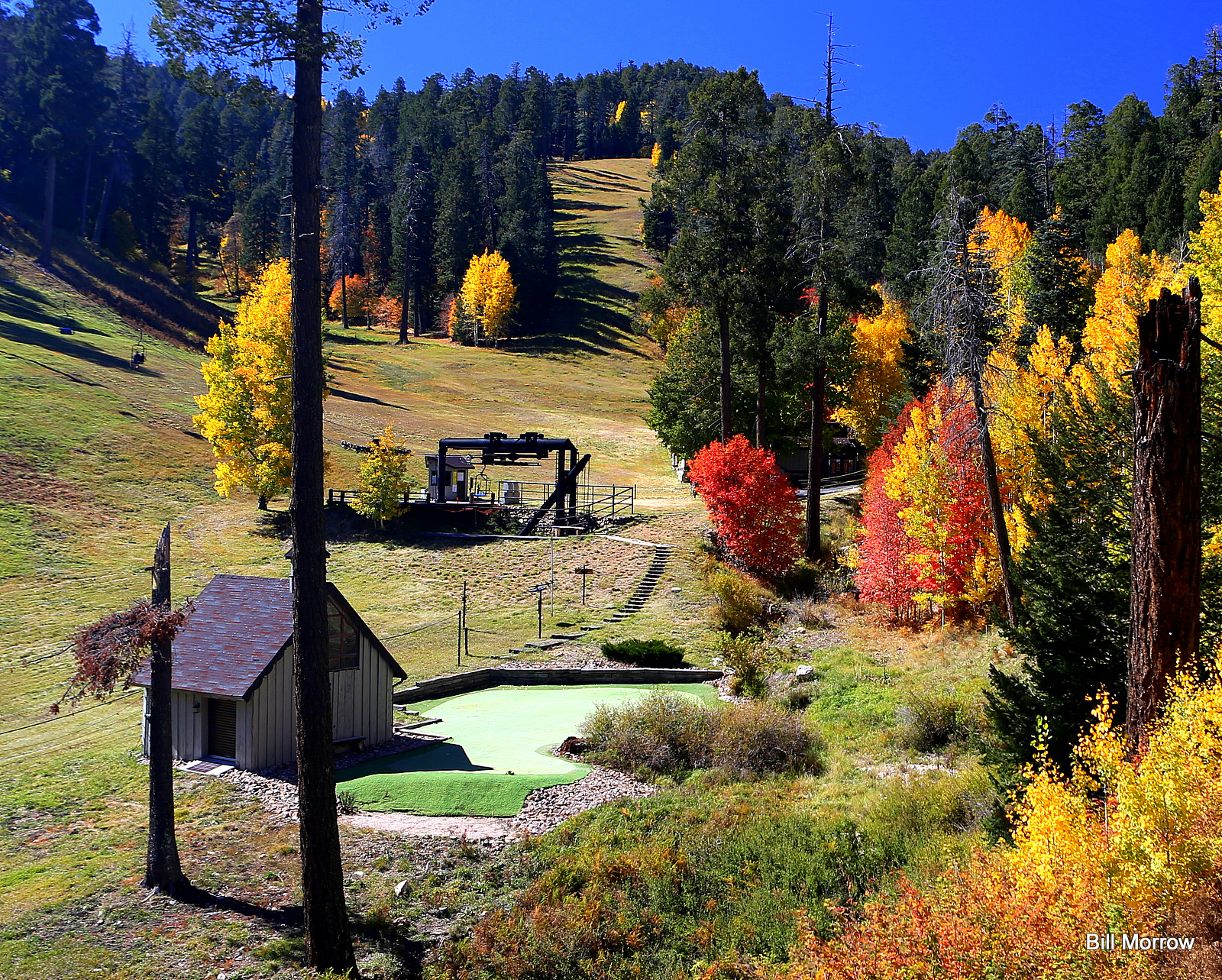 Mount Lemmon Ski ValleyDownhill skiing · ~2 min drivePhoto: Bill Morrow, CC BY 2.0 (via Wikimedia Commons)
 Mount LemmonSummit · ~2 min drivePhoto: Debby Kriegel, Public domain (via Wikimedia Commons)
Map and trail data © OpenStreetMap contributors
