Davis Wash Shoreline Area
Campground
Campground · 6.7 mi from the trail
Alert in the area
The Forest Service lists 5 alerts for Tonto National Forest.
Rattlesnake Cove Developed Recreation Site - Post Flood Recovery and Public Safety Closure
Agency alert covering Tonto National Forest · Order 3-12-01-26-36 · USFS · Tonto National Forest
Canyon Lake Drawdown Public Safety Closure
Agency alert covering Tonto National Forest · Order 03-12-00-26-22 · USFS · Tonto National Forest
No Fire Restrictions
Agency alert covering Tonto National Forest · USFS · Tonto National Forest
Lower Salt River Seasonal Bald Eagle Closures
Agency alert covering Mesa Ranger District · Order 03-12-03-24-65 · USFS · Mesa Ranger District
Roosevelt Lake Seasonal Wildlife Closure
Agency alert covering Tonto National Forest · Order 12-16-5 · USFS · Tonto National Forest
As of · Source: USFS · Tonto National Forest. Agencies don't list every closure — check before you go.
Frog is a 14-mile out-and-back hike in Arizona's Superstition Wilderness, within the Mesa Ranger District of Tonto National Forest. The trail rises from a low point of 3,297 feet to a high of 4,837 feet, and the climb totals 285 feet of elevation gain. The Forest Service manages the land, and the route is natural-surfaced, with no room for bikes. Spring and fall are the most comfortable times to go. Typical averages from a nearby weather station in Miami, Arizona, show April highs around 78°F and October highs around 84°F, while July averages near 100°F. That station sits about 1,300 feet lower than the trail's high point, so temperatures on the ridge run cooler. The Plow Saddle Trail #287 and Reavis Gap Trail #117 both start about a mile away, and the Great Leaders of the World Wall climbing area is roughly 2.3 miles off. For an overnight base, Davis Wash Shoreline Area is about 6.7 miles away.
Davis Wash Shoreline Area
Campground
Celia Blaylock aka Mattie Earp Grave Site
Attraction
Places © OpenStreetMap contributors, Places © Overture Maps Foundation
More in SuperiorNot on Roamze yet. Their page has how to reach them.
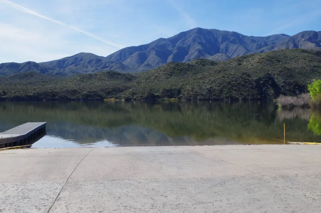 Burnt Corral CampgroundCampingPhoto: Recreation.gov (RIDB) / public domain8.4 mi
Source: Roamze catalog (indexable pages within 10 miles, PostGIS distance)
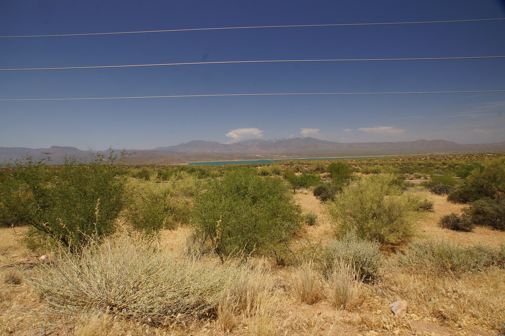 old Apache TrailHiking · ~18 min drivePhoto: jtstewart, CC BY-SA 2.0 (via Flickr)
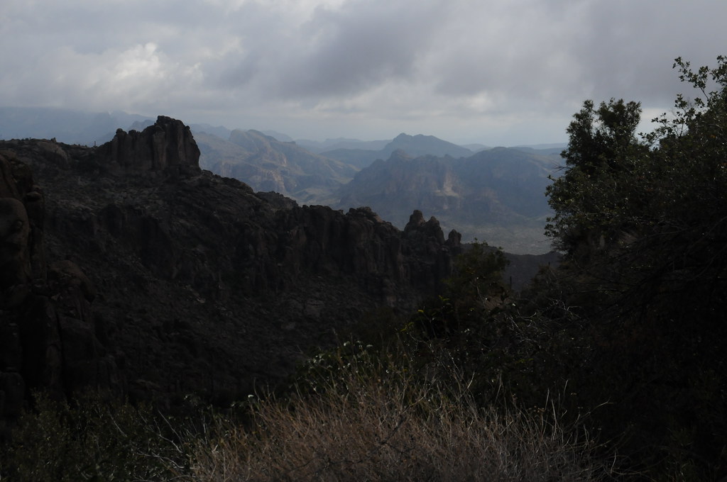 Peralta Trail #102Hiking · ~23 min drivePhoto: HockeyholicAZ, CC BY 2.0 (via Flickr)
 Black Top Mesa TrailHiking · ~23 min drivePhoto: deborah.soltesz, Public Domain Dedication (CC0) (via Flickr)
 Arizona TrailHiking · ~19 min drivePhoto: This illustration was made by Peter Potrowl.
Please credit this with : © Peter Potrowl in the immediate vicinity of the image. A link to my website sitemai.eu would be much appreciated but isn't mandatory.
An email to
Peter Potrowl would be appreciated too.
Do not copy this image illegally by ignoring the terms of the license below, as it is not in the public domain.
If you would like special permission to use, license, or purchase the image please contact me Peter Potrowl to negotiate terms.
More free pictures in my website. Donations are accepted here and here., CC BY-SA 3.0 (via Wikimedia Commons)
 Bull Pass TrailHiking · ~21 min drivePhoto: deborah.soltesz, Public Domain Dedication (CC0) (via Flickr)Cave Trail #233Hiking · ~22 min drivePhoto: HockeyholicAZ, CC BY 2.0 (via Flickr)
Best months: October–April. Best months have typical highs of 55–85 °F, lows of 30 °F or warmer (32 °F where the station doesn't record snow), at most one snowy day and no more than 12 wet days.
Jan
62° / 36°
5 wet
Feb
65° / 39°
5 wet
Mar
72° / 43°
4 wet
Apr
78° / 49°
3 wet
May
87° / 58°
2 wet
Jun
97° / 68°
2 wet
Jul
100° / 72°
6 wet
Aug
98° / 71°
8 wet
Sep
94° / 65°
5 wet
Oct
84° / 55°
3 wet
Nov
72° / 43°
3 wet
Dec
61° / 35°
4 wet
Typical high / low (°F) and days with rain or snow, 1991–2020. Measured at Miami, AZ, 18.4 mi away at 3,560 ft. The station sits about 1,300 ft lower than this place, so expect it a little cooler here. Source: NOAA NCEI U.S. Climate Normals 1991–2020.
