Murphy
- 3.0 mi
- round trip
- 747 ft
- climb
- 7,225 ft
- high point
- Out and back
- route
Is Murphy open right now?
Alert in the area
The Forest Service lists 4 alerts for Tonto National Forest.
Rattlesnake Cove Developed Recreation Site - Post Flood Recovery and Public Safety Closure
Agency alert covering Tonto National Forest · Order 3-12-01-26-36 · USFS · Tonto National Forest
Canyon Lake Drawdown Public Safety Closure
Agency alert covering Tonto National Forest · Order 03-12-00-26-22 · USFS · Tonto National Forest
No Fire Restrictions
Agency alert covering Tonto National Forest · USFS · Tonto National Forest
Roosevelt Lake Seasonal Wildlife Closure
Agency alert covering Tonto National Forest · Order 12-16-5 · USFS · Tonto National Forest
As of · Source: USFS · Tonto National Forest. Agencies don't list every closure — check before you go.
Murphy is a 3-mile out-and-back hike in Arizona's Sierra Ancha Wilderness, within the Pleasant Valley Ranger District of Tonto National Forest. The Forest Service manages the land, and the route rises from about 6,480 feet to a high point of 7,225 feet, with a total elevation gain of 747 feet. It is a moderate hike, and the trail stays open year-round. The climb is a steady one, with the most gain coming in the second half of the route. The trail's low point sits at 6,480 feet, and the high point at 7,225 feet makes it a good choice for a day of hiking in the wilderness. Several other trails lie within a short drive. Pueblo Canyon and Reynolds Creek are each about 1.5 miles away, and Devil's Chasm Trail is about 1.9 miles off. For an overnight stay, Reynolds Creek Group Campground is about 6 miles away.
Local outfitters
- VIP RV Resort48 mi away
- Arizona Desert Mountain Jeep Tours48 mi away
Not on Roamze yet. Their page has how to reach them.
- Pueblo CanyonHiking1.5 mi
- Reynolds CreekHiking1.5 mi
- Abbeys WayHiking1.8 mi
- Devil's Chasm TrailHiking1.9 mi
- RimHiking2 mi
- Workman FallsRock climbing2.1 mi
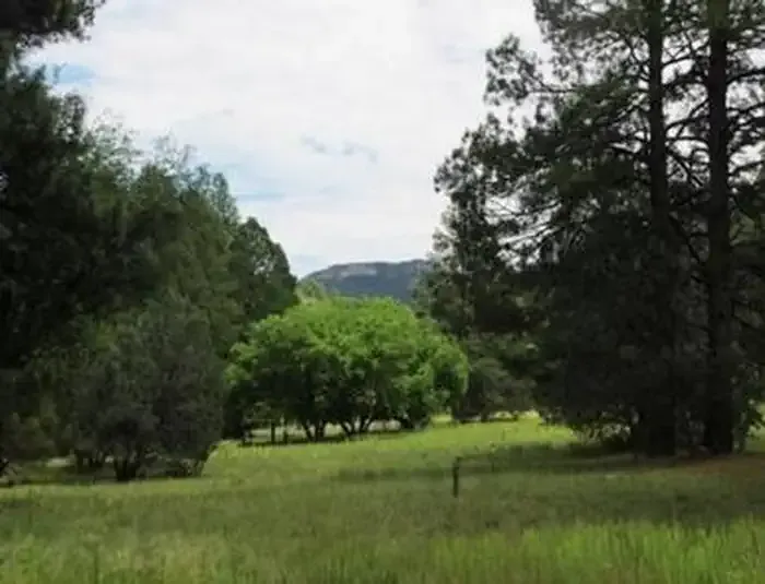 Reynolds Creek Group CampgroundCampingPhoto: Recreation.gov (RIDB) / public domain6 mi
- IceboxRock climbing6.1 mi
Source: Roamze catalog (indexable pages within 10 miles, PostGIS distance)
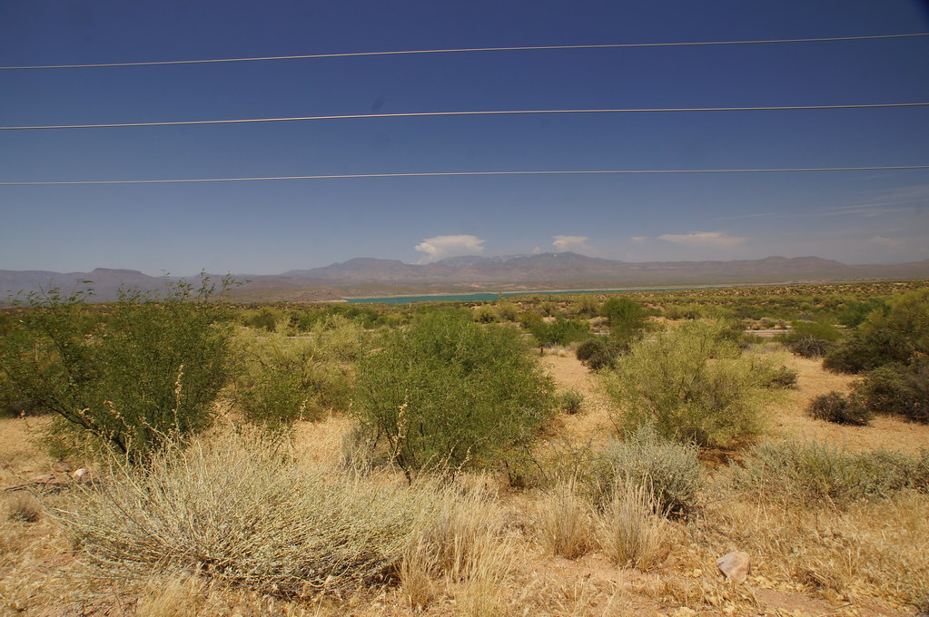 old Apache TrailHiking · ~28 min drivePhoto: jtstewart, CC BY-SA 2.0 (via Flickr)
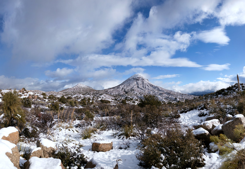 Old Apache TrailHiking · ~33 min drivePhoto: squeaks2569, CC BY-SA 2.0 (via Flickr)
 Arizona TrailHiking · ~31 min drivePhoto: This illustration was made by Peter Potrowl.
Please credit this with : © Peter Potrowl in the immediate vicinity of the image. A link to my website sitemai.eu would be much appreciated but isn't mandatory.
An email to
Peter Potrowl would be appreciated too.
Do not copy this image illegally by ignoring the terms of the license below, as it is not in the public domain.
If you would like special permission to use, license, or purchase the image please contact me Peter Potrowl to negotiate terms.
More free pictures in my website. Donations are accepted here and here., CC BY-SA 3.0 (via Wikimedia Commons)
- RimHiking · ~3 min drive
 CottonwoodHiking · ~29 min drivePhoto: squeaks2569, CC BY-SA 2.0 (via Flickr)
- Pueblo CanyonHiking · ~3 min drive
- Lucky StrikeHiking · ~5 min drive
- Parker CreekHiking · ~8 min drive
- Sue Mine TrailHiking · ~8 min drive
- Abbeys WayHiking · ~3 min drive
