Catalina State Park: Ringtail Loop
Campground
Campground · 4.9 mi from the trail
 Photo: Figure8, CC BY-SA 3.0 (via Wikimedia Commons)
Closure in the area
There's a closure order in Santa Catalina Ranger District. It doesn't name Sutherland, so check the source for the area it covers.
Marshall Gulch Closure Order
Agency closure covering Santa Catalina Ranger District · Order 03-05-05-26-009 · USFS · Santa Catalina Ranger District
Border Barrier Construction Closure
Agency alert covering Coronado National Forest · Order 03-05-00-26-011 · USFS · Coronado National Forest
No Fire Restrictions
Agency alert covering Coronado National Forest · USFS · Coronado National Forest
Barfoot Snake Closure Order 03-05-01-24-004
Agency alert covering Coronado National Forest · USFS · Coronado National Forest
As of · Source: USFS · Santa Catalina Ranger District. Agencies don't list every closure — check before you go.
Sutherland is a mountain biking route in Arizona's Coronado National Forest, within the Santa Catalina Ranger District. The Forest Service manages the land, and the climb rises from about 4,860 feet to about 8,020 feet, a total gain of 3,296 feet over roughly 3.5 miles. The steepest stretch comes at about 1.7 miles in, where the grade reaches 54 percent. Spring and fall are the most comfortable times to ride. Typical averages from a nearby weather station at Mt Lemmon Willow Canyon show May highs around 71°F and October highs around 68°F, with temperatures on this route running cooler than those figures because the station sits nearly 1,000 feet lower. Several other destinations sit close by. The Baby Jesus Trail and Sutherland Trail #6 are both within about a mile and a half, and the Samaniego hike is about 1.5 miles away. Climbers can find The Ravelin about 2.5 miles off.
Catalina State Park: Ringtail Loop
Campground
Iron Door Restaurant
Restaurant
Places © OpenStreetMap contributors
More in OracleNot on Roamze yet. Their page has how to reach them.
Best months: March–November. Best months have typical highs of 55–85 °F, lows of 30 °F or warmer (32 °F where the station doesn't record snow), at most one snowy day and no more than 12 wet days.
Jan
50° / 34°
Feb
50° / 33°
Mar
55° / 37°
Apr
62° / 43°
May
71° / 51°
Jun
80° / 60°
Jul
80° / 63°
Aug
79° / 62°
Sep
75° / 59°
Oct
68° / 49°
Nov
59° / 40°
Dec
49° / 33°
Typical high / low (°F) and days with rain or snow, 1991–2020. Measured at Mt Lemmon Willow Canyon, AZ, 9.1 mi away at 7,027 ft. The station sits about 1,000 ft lower than this place, so expect it a little cooler here. This station doesn't record snowfall. Source: NOAA NCEI U.S. Climate Normals 1991–2020.
 Photo: Colton Marshall abstractstatemachine, CC0 (via Wikimedia Commons)
Aspen Draw
~6 min drive
1.93-mile trail in Sutherland Trailhead with 1,535 ft elevation gain
 Photo: Debbie, CC BY 2.0 (via Wikimedia Commons)
Aspen
~6 min drive
Aspen is a 3.74-mile trail in Arizona managed by the Forest Service.
Photo: Debbie, CC BY 2.0 (via Wikimedia Commons)Mint Springs
~7 min drive
1.68-mile trail at Sutherland Trailhead with 850 ft gain
Photo: Figure8, CC BY-SA 3.0 (via Wikimedia Commons)Golder DT North
~7 min drive
0.92-mile trail in Arizona's Hidden Treasure system with 174 ft of elevation gain.
Photo: Figure8, CC BY-SA 3.0 (via Wikimedia Commons)50 Year Trail
~8 min drive
2.83-mile dirt trail with 175 ft elevation gain in Arizona's Hidden Treasure system
Photo: Debbie, CC BY 2.0 (via Wikimedia Commons)Box Spring
~8 min drive
0.34-mile trail at Sutherland Trailhead, Arizona
 Photo: Mcraycroft, CC BY-SA 4.0 (via Wikimedia Commons)
Sunset
~8 min drive
Sunset is a 0.97-mile trail at Sutherland Trailhead in Arizona with 623 ft of elevation gain.
Photo: Figure8, CC BY-SA 3.0 (via Wikimedia Commons)Dynamite
~8 min drive
1.58-mile trail at Golder Ranch Trailhead with 262 ft elevation gain
Photo: Figure8, CC BY-SA 3.0 (via Wikimedia Commons)East Equestrain Trail
~9 min drive
East Equestrain Trail is a 1.18-mile route in Arizona's Hidden Treasure trail system.
Photo: Figure8, CC BY-SA 3.0 (via Wikimedia Commons)Slabs
~9 min drive
0.13-mile trail at Golder Ranch Trailhead, Arizona
Also worth it near here
 Photo: cogdogblog, CC BY 2.0 (via Flickr)
Canada Del Oro
~3 min drive
Photo: cogdogblog, CC BY 2.0 (via Flickr)The Fortress
~4 min drive
 Photo: Debby Kriegel, Public domain (via Wikimedia Commons)
Mount Lemmon
~5 min drive
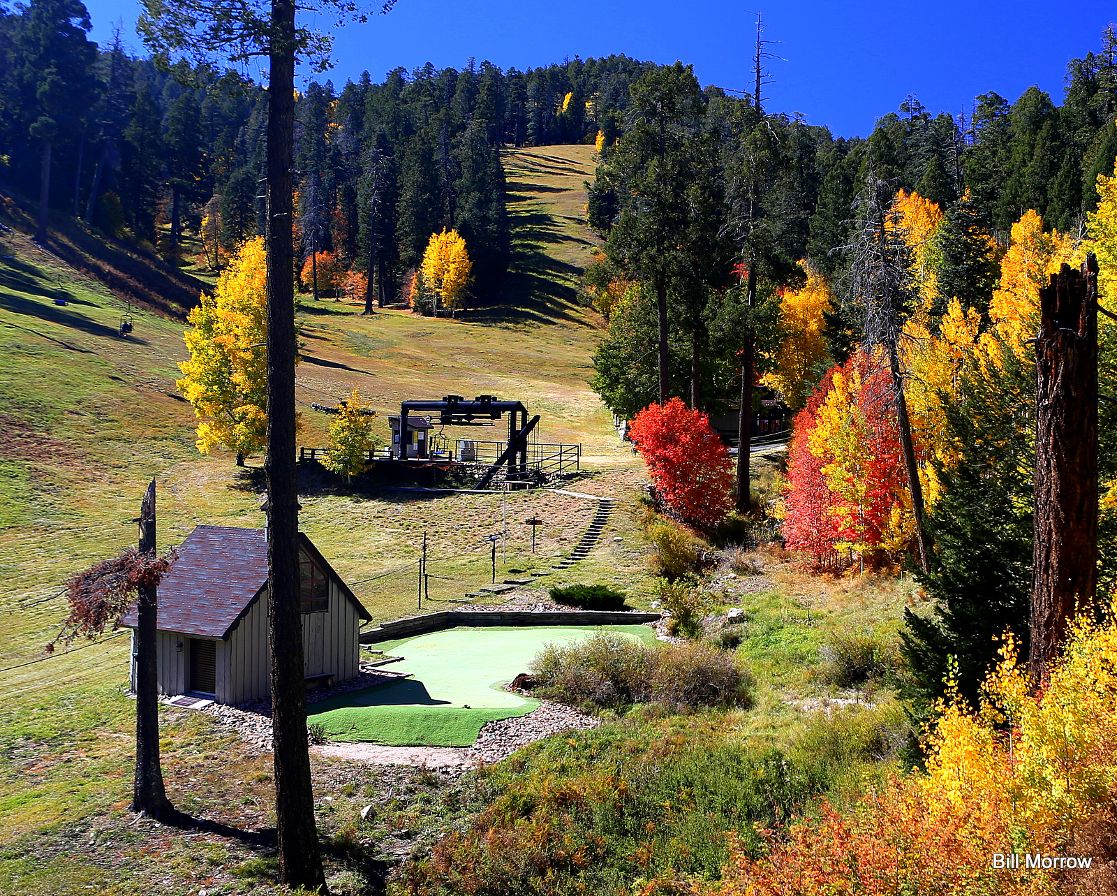 Photo: Bill Morrow, CC BY 2.0 (via Wikimedia Commons)
Mount Lemmon Ski Valley
~6 min drive
Map and trail data © OpenStreetMap contributors
