

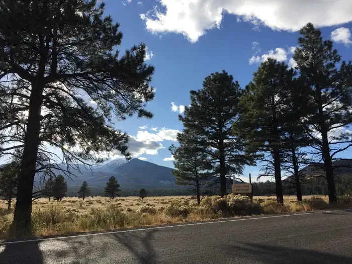
Village Camp
Hiking business nearby (~16 mi away) — hasn't claimed their Roamze page yet
Free — you'll pick up right here.
Watch this trail
Sign up to watch it — saving subscribes you to gate, closure and report changes.
Arizona
4.4 mi
Distance
850 ft
Gain
1h 54m
Time
An agency closure order is in effect for this area; weather is good
2 factors · 2 sources
Newest 21 h ago · oldest 5 d
problem: Agency alerts
12 active alerts in Coconino National Forest; most severe: West Fork Temporary Area Closure
USFS5 d ago
clear: Weather
Clear, high 72°F / low 53°F, 0% precip — 100/100 for hike
OpenWeather21 h ago
Been out here in the last few days? One report keeps this current for everyone.
Why you'll love it
Slate Mountain Trail #128
AI-suggested draft · review before you go
Slate Mountain Trail #128 is a 4.4-mile out-and-back trail located in Arizona, managed by the U.S. Forest Service. The route features 850 feet of elevation gain, making it a moderate hike suitable for hikers with some experience. The out-and-back format means you'll retrace your steps on the return journey, covering approximately 2.2 miles to reach the turnaround point. The steady elevation gain is distributed across the route, providing a consistent workout without extreme grade changes. This trail is maintained by the U.S. Forest Service, ensuring regular upkeep and trail markings. As with most Forest Service trails in Arizona, expect desert or semi-arid conditions typical of the region. The area is accessible to day hikers and offers a straightforward route without technical complexity. Plan for 2-4 hours depending on your pace and fitness level. Bring adequate water, sun protection, and sturdy hiking boots suited to rocky terrain. Check with the managing U.S. Forest Service office for current trail conditions and any seasonal closures before your visit.

Humphreys Summit Trail #151
~23 min drive
9.7 mi · Moderate
Red Mountain Trail #159
~6 min drive
2.6 mi · Easy
Arizona Trail-Saddle Mountain
~14 min drive
6.26-mile out-and-back trail in Arizona with 1090 ft elevation gain.
Beale Wagon Road Historic Trail #61
~19 min drive
17 mi · Hard
Humphreys Peak
~22 min drive
Standard route to Humphreys Peak (12,633 ft) from Humphreys Trailhead (Arizona Snowbowl).
Pumpkin Trail #39
~9 min drive
8.9 mi · Moderate
Abineau
~19 min drive
4.8 mi · Easy
Arizona Trail-Fort Valley
~28 min drive
2.62-mile out-and-back trail in Arizona with 383 ft elevation gain.
Spring Valley Mtn. Bike
~20 min drive
14 mi · Hard
Kachina Trail #150
~22 min drive
11 mi · Moderate
Local operatorsoffering guided trips. You book directly with them — Roamze doesn’t take a cut.
Village Camp
Hiking business nearby (~16 mi away) — hasn't claimed their Roamze page yet
Four Season Guides
Hiking business nearby (~23 mi away) — hasn't claimed their Roamze page yet
Wander Camp
Hiking business nearby (~23 mi away) — hasn't claimed their Roamze page yet