Eagle's Walk
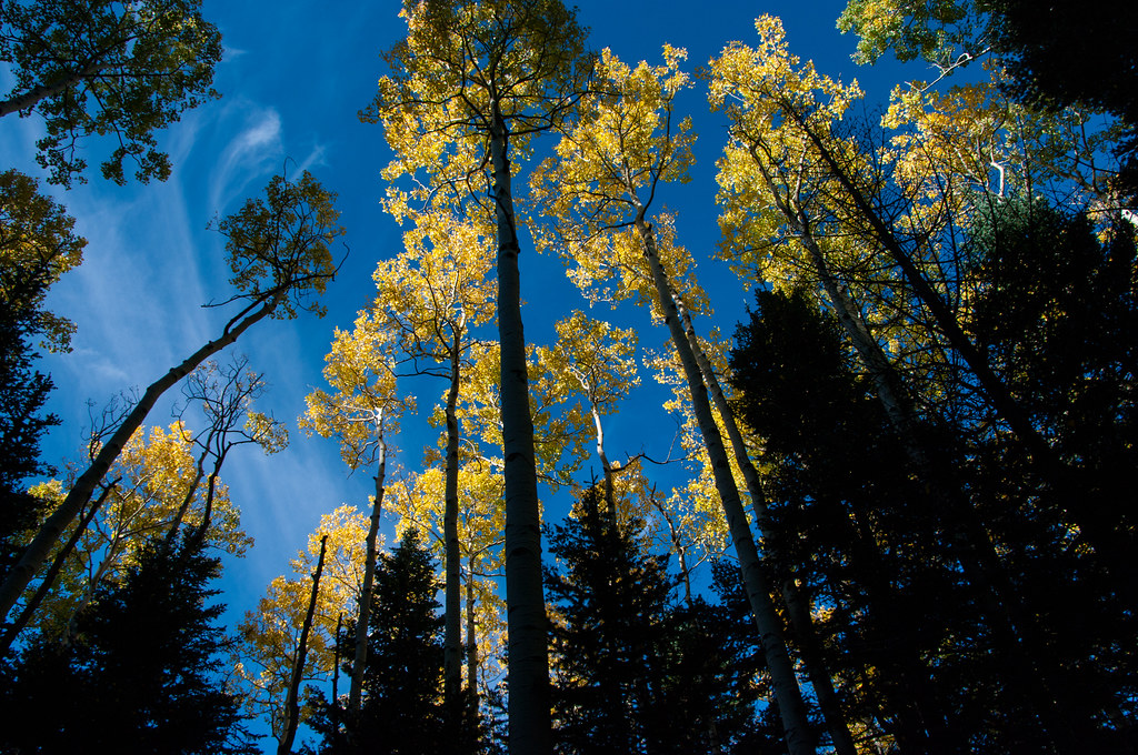
 Photo: Nate Loper • #ArizonaGuide ️, CC BY 2.0 (via Flickr)
- 0.8 mi
- round trip
- 851 ft
- climb
- 6,705 ft
- high point
- Out and back
- route
- May–Jul, Sep
- best months
Eagle's Walk is a moderate hike on Arizona's State Trust Land, managed by the State Department of Land. It's a short out-and-back with a total length of about 1.6 miles and an elevation gain of 851 feet, roughly 388 feet one way. The route starts at about 6,324 feet and climbs to a high point of 6,705 feet, with the steepest stretch at about 0.55 miles, where the grade reaches 31 percent. The hike takes about an hour. It pairs easily with a longer outing on the Arizona Trail, which passes about 6.6 miles away. The Arizona Trail-Saddle Mountain segment is about 9.5 miles off. For comfortable weather, aim for late spring or early fall. Typical averages from a nearby weather station show May highs around 70°F and October highs around 65°F, with July and August bringing the most wet days.
Local outfitters
- Village Camp26 mi away
- Four Season Guides27 mi away
Not on Roamze yet. Their page has how to reach them.
Source: Roamze catalog (indexable pages within 10 miles, PostGIS distance)
 Slate Mountain Trail #128Hiking · ~23 min drivePhoto: Coconino NF Photography, Public Domain Dedication (CC0) (via Flickr)
 O'Leary TrailHiking · ~24 min drivePhoto: Coconino NF Photography, Public Domain Mark (via Flickr)
 AbineauHiking · ~24 min drivePhoto: Coconino NF Photography, Public Domain Mark (via Flickr)
- Humphreys Summit Trail #151Hiking · ~30 min drive
 StrawberryHiking · ~23 min drivePhoto: Coconino NF Photography, Public Domain Dedication (CC0) (via Flickr)
 Lava's Edge TrailHiking · ~28 min drivePhoto: Šarūnas Burdulis from USA, CC BY-SA 2.0 (via Wikimedia Commons)
- Arizona TrailHiking · ~16 min drive
- Pumpkin Trail #39Hiking · ~32 min drive
 Doney TrailHiking · ~23 min drivePhoto: RuggyBearLA, CC BY-SA 2.0 (via Flickr)
 Bear JawHiking · ~24 min drivePhoto: Coconino NF Photography, Public Domain Dedication (CC0) (via Flickr)
Best time to visit Eagle's Walk
Best months: May–July and September. Best months have typical highs of 55–85 °F, lows of 30 °F or warmer (32 °F where the station doesn't record snow), at most one snowy day and no more than 12 wet days.
Jan
44° / 13°
6 wet
Feb
47° / 16°
5 wet
Mar
54° / 21°
5 wet
Apr
61° / 27°
4 wet
May
70° / 34°
4 wet
Jun
82° / 42°
4 wet
Jul
84° / 49°
11 wet
Aug
81° / 47°
14 wet
Sep
75° / 40°
8 wet
Oct
65° / 28°
5 wet
Nov
53° / 18°
4 wet
Dec
44° / 12°
5 wet
Typical high / low (°F) and days with rain or snow, 1991–2020. Measured at Sunset Crater Nm, AZ, 15.8 mi away at 6,980 ft. This station doesn't record snowfall. Source: NOAA NCEI U.S. Climate Normals 1991–2020.

Map and trail data © OpenStreetMap contributors
