

Wander Camp
Hiking business nearby (~19 mi away) — hasn't claimed their Roamze page yet
Free — you'll pick up right here.
Watch this trail
Sign up to watch it — saving subscribes you to gate, closure and report changes.
Arizona
2.6 mi
Distance
278 ft
Gain
59 min
Time
We won't guess. Here is exactly what we do and don't know.
What we do know
Inside Coconino National Forest
2 managing-area boundaries mapped — agency alerts for them feed this page automatically.
Boundary data
What's missing
No access route mapped
We don't yet know which road reaches this trailhead, so we can't tell you if it's gated.
Nobody's filed a report here yet — be the first.
Why you'll love it
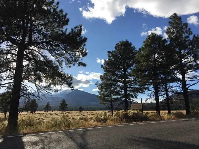
Red Mountain Trail #159
AI-suggested draft · review before you go
Red Mountain Trail #159 is a 2.6-mile out-and-back trail located in Arizona, managed by the U.S. Forest Service. The route features 278 feet of elevation gain, making it an accessible option for hikers of varying skill levels. The out-and-back format allows hikers to turn around at any point, providing flexibility for those with different fitness levels or time constraints. As a U.S. Forest Service maintained trail, Red Mountain Trail #159 is part of Arizona's extensive network of public lands and recreational opportunities. The trail's modest distance and elevation gain make it suitable for a half-day adventure, whether you're looking for a quick morning hike or an afternoon outing. The trail provides access to the natural landscape characteristic of Arizona's forest areas. With its manageable length and moderate elevation gain, Red Mountain Trail #159 is well-suited for families, casual hikers, and those seeking a straightforward outdoor experience without extreme technical demands or significant elevation challenges.

Humphreys Summit Trail #151
~29 min drive
9.7 mi · Moderate
Arizona Trail
~8 min drive
A 25.76-mile out-and-back trail in Arizona that connects to Passage 42 as part of a larger trail system.
Beale Wagon Road Historic Trail #61
~22 min drive
17 mi · Hard
Abineau
~25 min drive
4.8 mi · Easy
Humphreys Peak
~28 min drive
Standard route to Humphreys Peak (12,633 ft) from Humphreys Trailhead (Arizona Snowbowl).
Pumpkin Trail #39
~14 min drive
8.9 mi · Moderate
Arizona Trail-Saddle Mountain
~19 min drive
6.26-mile out-and-back trail in Arizona with 1090 ft elevation gain.
Kentucky Camp - Arizona
~25 min drive
90-mile expert backcountry traverse through remote Arizona high desert and mountains.
Aspen Nature Loop
~28 min drive
1.3 mi · Easy
Kachina Trail #150
~29 min drive
11 mi · Moderate
Local operatorsoffering guided trips. You book directly with them — Roamze doesn’t take a cut.
Wander Camp
Hiking business nearby (~19 mi away) — hasn't claimed their Roamze page yet
Village Camp
Hiking business nearby (~20 mi away) — hasn't claimed their Roamze page yet
Four Season Guides
Hiking business nearby (~26 mi away) — hasn't claimed their Roamze page yet