Lower Soldier
- 4.6 mi
- round trip
- 945 ft
- climb
- 3,130 ft
- high point
- Out and back
- route
- Nov–Apr
- best months
Is Lower Soldier open right now?
Alert in the area
The Forest Service lists 5 alerts for Tonto National Forest.
Rattlesnake Cove Developed Recreation Site - Post Flood Recovery and Public Safety Closure
Agency alert covering Tonto National Forest · Order 3-12-01-26-36 · USFS · Tonto National Forest
Canyon Lake Drawdown Public Safety Closure
Agency alert covering Tonto National Forest · Order 03-12-00-26-22 · USFS · Tonto National Forest
No Fire Restrictions
Agency alert covering Tonto National Forest · USFS · Tonto National Forest
Lower Salt River Seasonal Bald Eagle Closures
Agency alert covering Mesa Ranger District · Order 03-12-03-24-65 · USFS · Mesa Ranger District
Roosevelt Lake Seasonal Wildlife Closure
Agency alert covering Tonto National Forest · Order 12-16-5 · USFS · Tonto National Forest
As of · Source: USFS · Tonto National Forest. Agencies don't list every closure — check before you go.
Lower Soldier is an easy out-and-back hike in Arizona's Four Peaks Wilderness, within the Mesa Ranger District of Tonto National Forest. The trail is 4.6 miles long, with a one-way elevation gain of 945 feet, taking you from a low point of 1,898 feet to a high of 3,130 feet. The Forest Service manages the land, and the route is on natural surface, with no bikes allowed. The most comfortable months for a visit are typically spring and fall. At the nearby Mormon Flat weather station, typical averages run from highs around 67°F in January to 77°F in March, and from 89°F in October to 75°F in November. That station sits well below the trail, so temperatures on the higher ground run cooler. The trailhead is at Cottonwood Camp TH, and the route is open year-round. Cane Spring is about 3.9 miles away, and Bagley Flat campground is about 4.2 miles off. The Point campground and the Upper Canyon climbing area are both about 5 miles away.
Local outfitters
- VIP RV Resort16 mi away
- Arizona Desert Mountain Jeep Tours19 mi away
Not on Roamze yet. Their page has how to reach them.
- Cane SpringHiking3.9 mi
- Bagley FlatCamping4.2 mi
- The PointCamping5 mi
- The Rolls OHV Area - Butcher Jones AccessCamping5.1 mi
 Upper CanyonRock climbingPhoto: davidpinter, CC BY 3.0 (via Wikimedia Commons)5.1 mi
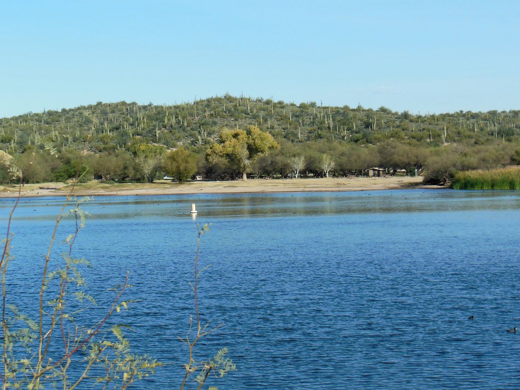 Butcher JonesHikingPhoto: William Herron, CC BY-SA 2.0 (via Flickr)5.3 mi
 Lower CanyonRock climbingPhoto: davidpinter, CC BY 3.0 (via Wikimedia Commons)5.9 mi
- Palo VerdeLake fishing6.1 mi
Source: Roamze catalog (indexable pages within 10 miles, PostGIS distance)
 Pigeon Spring RoadHiking · ~16 min drivePhoto: Chris English, CC BY-SA 3.0 (via Wikimedia Commons)
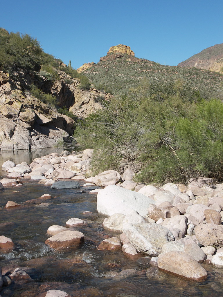 Battleship Mountain scrambleHiking · ~17 min drivePhoto: deborah.soltesz, Public Domain Dedication (CC0) (via Flickr)
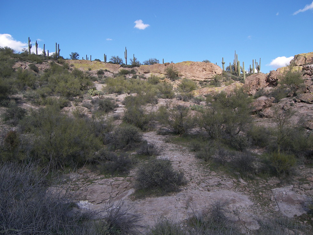 Grand Enchantment TrailHiking · ~17 min drivePhoto: deborah.soltesz, Public Domain Dedication (CC0) (via Flickr)
- Arizona TrailHiking · ~15 min drivePhoto: Chris English, CC BY-SA 3.0 (via Wikimedia Commons)
 Four Peaks-El OsoHiking · ~16 min drivePhoto: Chris English, CC BY-SA 3.0 (via Wikimedia Commons)
 Second Water TrailHiking · ~17 min drivePhoto: deborah.soltesz, Public Domain Dedication (CC0) (via Flickr)
 BallantineHiking · ~18 min drivePhoto: cogdogblog, CC BY 2.0 (via Flickr)
 Black Mesa TrailHiking · ~16 min drivePhoto: deborah.soltesz, Public Domain Dedication (CC0) (via Flickr)
 Massacre Falls TrailHiking · ~18 min drivePhoto: Dougtone, CC BY-SA 2.0 (via Wikimedia Commons)
- Jacobs CrosscutHiking · ~18 min drivePhoto: Dougtone, CC BY-SA 2.0 (via Wikimedia Commons)
Best time to visit Lower Soldier
Best months: November–April. Best months have typical highs of 55–85 °F, lows of 30 °F or warmer (32 °F where the station doesn't record snow), at most one snowy day and no more than 12 wet days.
Jan
67° / 44°
5 wet
Feb
70° / 45°
5 wet
Mar
77° / 50°
4 wet
Apr
85° / 55°
2 wet
May
94° / 64°
1 wet
Jun
104° / 73°
1 wet
Jul
106° / 80°
3 wet
Aug
104° / 79°
5 wet
Sep
98° / 74°
3 wet
Oct
89° / 63°
2 wet
Nov
75° / 52°
2 wet
Dec
65° / 44°
4 wet
Typical high / low (°F) and days with rain or snow, 1991–2020. Measured at Mormon Flat, AZ, 4.8 mi away at 1,705 ft. The station sits about 1,400 ft lower than this place, so expect it a little cooler here. Source: NOAA NCEI U.S. Climate Normals 1991–2020.
