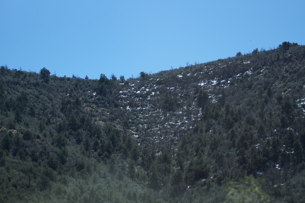
Potato Patch Campground
Campground
Campground · 1.7 mi from the trail
Closure in the area
There's a closure order in Prescott National Forest. It doesn't name Yeager Canyon, so check the source for the area it covers.
NFS Road 354 Closure Order #03-07-26-02
Agency closure covering Prescott National Forest · Order 03-07-26-02 · USFS · Prescott National Forest
As of · Source: USFS · Prescott National Forest. Agencies don't list every closure — check before you go.
Yeager Canyon is a mountain biking route in the Verde Ranger District of Prescott National Forest in Arizona, managed by the Forest Service. The trail is about 2.3 miles long, and the climb from the low point at 5,985 feet to the high point at 7,322 feet totals 1,328 feet of elevation gain. The route also includes 1,646 feet of descent, so it works as a loop or as a one-way ride with a return. The steepest stretch comes at about 0.84 miles in, where the grade reaches 23 percent. That makes the route a challenge for riders who want to push their pace, and the drop back down adds to the overall effort. Several other destinations sit close by. Old Dump is just 0.2 miles away, and Mingus View is 0.6 miles off. Playground Campground (Mingus) is about 0.9 miles away for an overnight stay, and the Yeager Cabin Trail #111 is 0.8 miles away for more riding.
Potato Patch Campground
Campground
 If it rainsDoncram, CC BY-SA 3.0 · Wikimedia Commons
An open-air museum located in Prescott, Arizona
Places © OpenStreetMap contributors · Photos: Doncram, CC BY-SA 3.0 (commons)
More in PrescottNot on Roamze yet. Their page has how to reach them.
 Roadside CragRock climbingPhoto: Vineet Potdar, CC BY-SA 3.0 (via Wikimedia Commons)0.7 mi
Source: Roamze catalog (indexable pages within 10 miles, PostGIS distance)
 Trail #550Mountain biking · ~4 min drivePhoto: Johnwayne Stroud, CC BY-SA 3.0 (via Wikimedia Commons)MescalMountain biking · ~4 min drivePhoto: Johnwayne Stroud, CC BY-SA 3.0 (via Wikimedia Commons)Powerline Trail #549Mountain biking · ~5 min drivePhoto: Johnwayne Stroud, CC BY-SA 3.0 (via Wikimedia Commons)
Map and trail data © OpenStreetMap contributors