Kentucky Camp - Arizona
- 90.4 mi
- one way
- 6,788 ft
- climb
- 8,732 ft
- high point
- Point to point
- route
- Apr–Oct
- best months
Is Kentucky Camp - Arizona open right now?
Closure in the area
There's a closure order in Kaibab National Forest. It doesn't name Kentucky Camp - Arizona, so check the source for the area it covers (3 listed).
Heavy storm damages received - use extreme caution
Agency closure covering Kaibab National Forest · USFS · Kaibab National Forest
Christmas tree permits available online beginning October 8
Agency closure covering Kaibab National Forest · USFS · Kaibab National Forest
Forest Road 354 on Kaibab & Prescott NF Temporarily Closed for Repairs
Agency closure covering Kaibab National Forest · Order 03-07-26-02 · USFS · Kaibab National Forest
As of · Source: USFS · Kaibab National Forest. Agencies don't list every closure — check before you go.
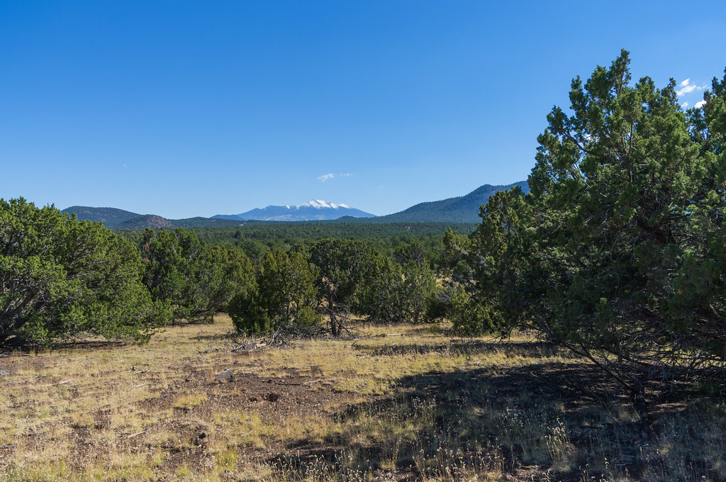
Kentucky Camp is a long, hard hike in the Tusayan Ranger District of Arizona's Kaibab National Forest, managed by the Forest Service. The trail is a point-to-point route of about 90 miles, with a total elevation gain of 6,788 feet from a low point near 2,256 feet to a high point of about 8,732 feet. It is a serious commitment, and the Forest Service notes the trail surface is natural. The most comfortable time to go is late spring or early fall. Typical averages from a nearby weather station show May highs around 67°F and September highs around 75°F, with summer afternoons warming into the low 80s. That station sits about 1,250 feet below the trail's high point, so temperatures up high run cooler. The trip is estimated to take about 33.5 hours, and the trailhead parking is labeled Kentucky Camp TH. The Arizona Trail passes about 2 miles away, and the Arizona Trail 101 and Forest Service Road 420 are each roughly 8 miles off.
Local outfitters
- Wander Camp14 mi away
- Buck Wild Hummer Tours22 mi away
Not on Roamze yet. Their page has how to reach them.
Source: Roamze catalog (indexable pages within 10 miles, PostGIS distance)
 Arizona TrailHiking · ~19 min drivePhoto: Matt Lavin, CC BY-SA 2.0 (via Flickr)
 Red Mountain Trail #159Hiking · ~25 min drivePhoto: Coconino NF Photography, Public Domain Dedication (CC0) (via Flickr)
 Eagle's WalkHiking · ~27 min drivePhoto: Nate Loper • #ArizonaGuide ️, CC BY 2.0 (via Flickr)
- Grandview PointHiking · ~33 min drive
 East TontoHiking · ~35 min drivePhoto: Nate Loper • #ArizonaGuide ️, CC BY 2.0 (via Flickr)
 Red Butte Trail #37Hiking · ~25 min drivePhoto: Matt Lavin, CC BY-SA 2.0 (via Flickr)
 Navajo Route 6150 (Gray Mountain Truck Trail)Hiking · ~25 min drivePhoto: Ken Lund, CC BY-SA 2.0 (via Flickr)
 New Hance TrailHiking · ~30 min drivePhoto: Gonzo fan2007, CC BY-SA 4.0 (via Wikimedia Commons)
 Tanner TrailHiking · ~34 min drivePhoto: CC BY-SA 3.0 (via Wikimedia Commons)
 Grandview TrailHiking · ~37 min drivePhoto: niklas.tenhaef1, CC BY 2.0 (via Flickr)
Best time to visit Kentucky Camp - Arizona
Best months: April–October. Best months have typical highs of 55–85 °F, lows of 30 °F or warmer (32 °F where the station doesn't record snow), at most one snowy day and no more than 12 wet days.
Jan
41° / 24°
Feb
43° / 25°
Mar
51° / 29°
Apr
58° / 35°
May
67° / 42°
Jun
80° / 55°
Jul
84° / 59°
Aug
81° / 57°
Sep
75° / 51°
Oct
63° / 41°
Nov
51° / 30°
Dec
41° / 23°
Typical high / low (°F) and days with rain or snow, 1991–2020. Measured at Grand Canyon E Entrance, AZ, 20 mi away at 7,480 ft. The station sits about 1,300 ft lower than this place, so expect it a little cooler here. This station doesn't record snowfall. Source: NOAA NCEI U.S. Climate Normals 1991–2020.


