

Buck Wild Hummer Tours
Hiking business nearby (~23 mi away) — hasn't claimed their Roamze page yet
Ken Patrick Trail - East (Point Imperial)
Free — you'll pick up right here.
Watch this trail
Sign up to watch it — saving subscribes you to gate, closure and report changes.
Arizona
We won't guess. Here is exactly what we do and don't know.
What we do know
Inside Grand Canyon National Park
National Park unit boundary is mapped — agency alerts for it feed this page automatically.
Boundary data
What's missing
No access route mapped
We don't yet know which road reaches this trailhead, so we can't tell you if it's gated.
Nobody's filed a report here yet — be the first.
Ken Patrick Trail - East (Point Imperial)
AI-suggested draft · review before you go
No elevation data on file for this trail.
The section of the Ken Patrick Trail from Point Imperial to Cape Royal Road is 3 miles (4.9 km) and is open during the 2026 North Rim season. Note: Post-fire hazards and weather events may result in a temporary closure of this location. The section from Cape Royal Road to the South Kaibab Trailhead is CLOSED during the 2026 season, due to damage from the Dragon Bravo wildfire. On May 15, the North Rim reopened for the season. Visitors should plan ahead and be prepared for a more remote experience this year, with limited services available as the park continues recovery and restoration work. The 2026 season will focus mainly on day use and limited backcountry access, with some scenic drives, viewpoints, and trails open to visitors. Please keep in mind that potable water will not be available on the North Rim, so be sure to bring plenty of water and food for your visit. North Rim - Current Status and Closures Ken Patrick Trail East - from Point Imperial to Cape Royal Road This scenic, hilly section of trail follows the rim to Cape Royal Road. Many parts are recovering from wildfire, providing vast views and making it quite exposed to sun, wind, and cold. This is a great hike from Point Imperial, whether you hike the whole section or turn around after a few minutes. Sturdy footwear and comfort with heights is necessary here. Foot placement is key, as portions of this trail section are steep, uneven, narrow, and unstable. Several downed trees block the trail, though navigating around them is not difficult. Trail Information Point Imperial to Cape Royal Road section One-way Distance: 3 miles (4.9 km) Elevation change: Hilly Average Hiking Time: 2-3 hours This one-way 3.0 mile (4.8 km) section from Point Imperial heads south along the canyon rim before heading into the forest and back out along the rim. It terminates at a set of steps leading up to Cape Royal Road. Walk back to Point Imperial from here (6.0 mile roundtrip), or have a friend pick you up in a vehicle. Cape Royal Road to South Kaibab Trailhead - CLOSED The section from Cape Royal Road to the South Kaibab Trailhead is closed, due to damage from the Dragon Bravo wildfire. One-way Distance: 6.8 miles (10.9 km), CLOSED for the 2026 Season Elevation change: Hilly Average Hiking Time: 4-5 hours NOTE: RVs over 22 feet long, and vehicle-trailer combinations with a total length over 22 feet, are not permitted on Cape Royal Road and the Scenic Drive due to narrow, windy roads with blind corners. History Born in 1933, Ken Patrick was an accomplished hiker and park ranger who grew up in the Grand Canyon area. His father was a manager at Phantom Ranch, and Ken had the luxury of growing up a world wonder and exploring as much of it as possible. In his twenties, he began a career that started in Grand Canyon, followed by the Arizona Department of Public Safety, Organ Pipe Cactus National Monument, and Point Reyes National Seashore. On the morning of August 5, 1973, Ken approached three individuals while on duty at Point Reyes. One of them fired shots at the park ranger, who was found dead at the scene by a colleague later that day. His gun was holstered and concealed under his uniform jacket. The individuals, apparently members of The Black Panther organization, were later apprehended and convicted on evidence of deer poaching, stolen checks, drug possession, and the murder of Ken Patrick. Ken Patrick was laid to rest at the South Rim in Grand Canyon Pioneer Cemetery on August 9, 1973.
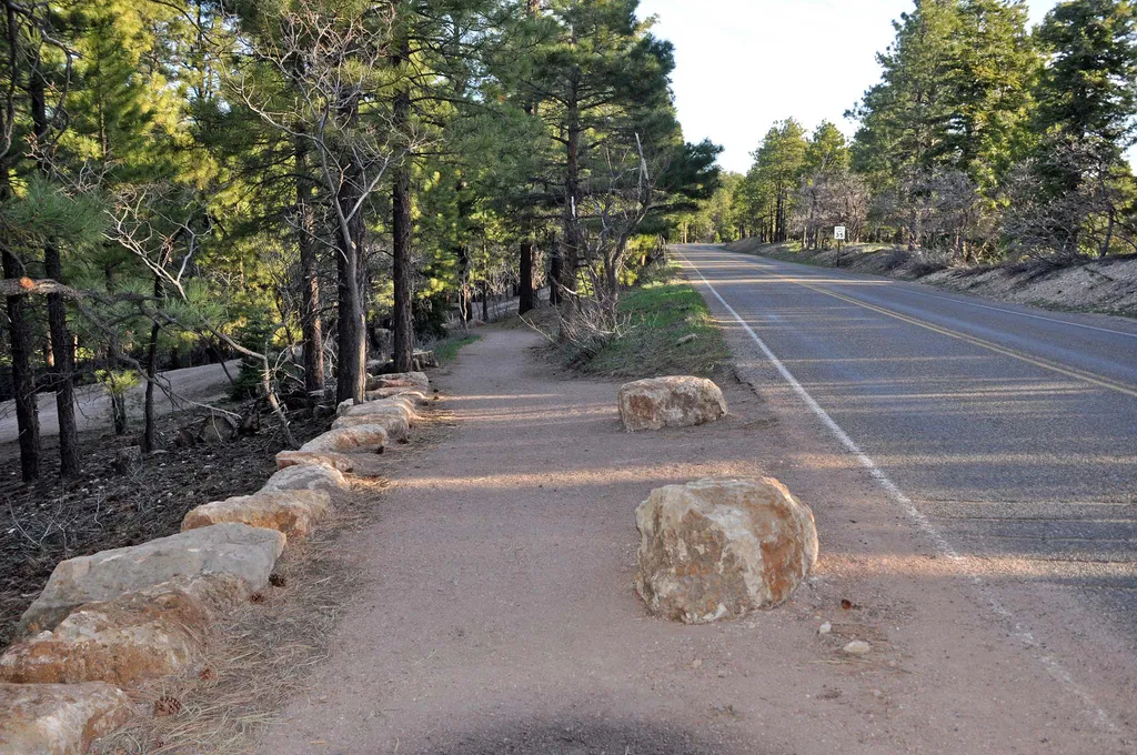
Bridle Path (South End)
~12 min drive
The Bridal Path follows the road (AZ 67) and connects the large parking area of the former Grand Canyon Lodge with the North Kaibab Trailhead. It is 1.6 miles (2.6 km) one-way; allow one hour. There is minimal elevation gain. Pets on a leash, stock use, and bicycles are permit…
Point Imperial Trail
~3 min drive
5.2 mi · Easy
Nankoweap Trail #57
~3 min drive
A moderate 2.17-mile out-and-back trail in Arizona offering a solid day hike experience.
Walhalla Glades Trail
~7 min drive
15 mi · Hard
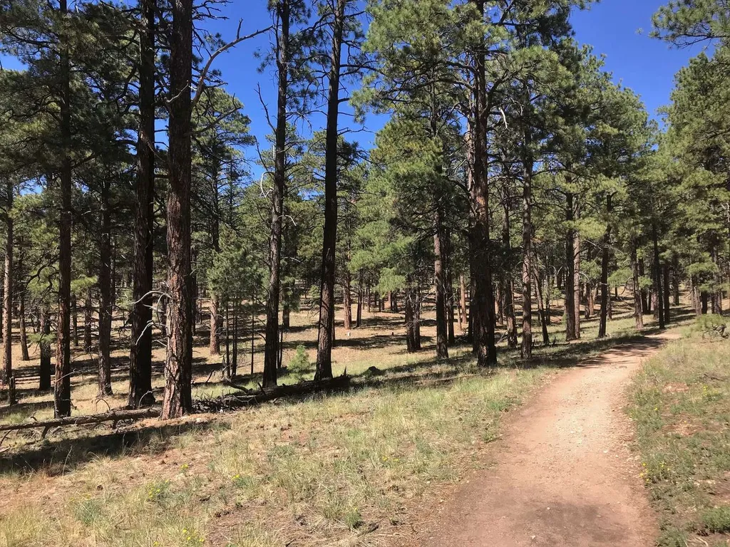
Cape Final Trail
~16 min drive
On May 15, the North Rim reopened for the season. Visitors should plan ahead and be prepared for a more remote experience this year, with limited services available as the park continues recovery and restoration work. The 2026 season will focus mainly on day use and limited b…
Nankoweap Trail #57
~4 min drive
4.3 mi · Easy
Komo Point Trail
~6 min drive
9.9 mi · Moderate
South Canyon
~9 min drive
10 mi · Hard
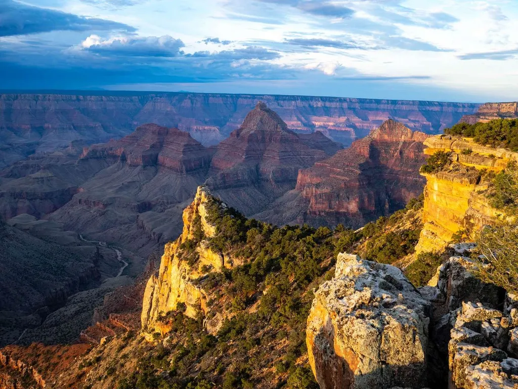
Cape Final
~17 min drive
On May 15, the North Rim reopened for the season. Visitors should plan ahead and be prepared for a more remote experience this year, with limited services available as the park continues recovery and restoration work. The 2026 season will focus mainly on day use and limited b…
Greenland Lake Trail
~4 min drive
0.3 mi · Easy
Local operatorsoffering guided trips. You book directly with them — Roamze doesn’t take a cut.
Buck Wild Hummer Tours
Hiking business nearby (~23 mi away) — hasn't claimed their Roamze page yet
Wander Camp
Hiking business nearby (~37 mi away) — hasn't claimed their Roamze page yet