Good Enough
- 1.4 mi
- round trip
- 1,017 ft
- climb
- 6,164 ft
- high point
- Out and back
- route
- Feb–May, Sep–Nov
- best months
Is Good Enough open right now?
Closure in the area
There's a closure order in Tonto National Forest. It doesn't name Good Enough, so check the source for the area it covers (2 listed).
Rattlesnake Cove Developed Recreation Site - Post Flood Recovery and Public Safety Closure
Agency closure covering Tonto National Forest · Order 3-12-01-26-36 · USFS · Tonto National Forest
State Route 260 Lion Springs Construction Site Public Health and Safety Closure Order
Agency closure covering Payson Ranger District · Order 03-12-04-26-25 · USFS · Payson Ranger District
Emergency Closure of Water Wheel Recreation Sites for Public Safety
Agency alert covering Payson Ranger District · Order 03-12-04-26-34 · USFS · Payson Ranger District
Canyon Lake Drawdown Public Safety Closure
Agency alert covering Tonto National Forest · Order 03-12-00-26-22 · USFS · Tonto National Forest
No Fire Restrictions
Agency alert covering Tonto National Forest · USFS · Tonto National Forest
As of · Source: USFS · Tonto National Forest. Agencies don't list every closure — check before you go.
Good Enough is an easy hike of about 1.4 miles in the Payson Ranger District of Tonto National Forest in Arizona, managed by the Forest Service. The trail is an out-and-back with a total climb of about 1,017 feet, so the one-way gain is roughly 500 feet. The route reaches a high point of about 6,164 feet, and the steepest stretch comes early, around 0.2 miles in, with a grade of about 21 percent. Spring and fall are the most comfortable times to go. Typical averages from a nearby weather station show October highs around 74°F with lows near 46°F, and April highs around 70°F. That station sits well below the trail, so temperatures on the route run cooler. Bikes are allowed on the natural-surface trail, and Pine Canyon, a mountain biking area, is just 0.1 mile away. Pine Canyon Trail #26 is about 1.1 miles off, and Sharp Creek Group campground is about 1.6 miles away. Climbers can find Zone-tail Buttress about 2.4 miles from the trail.
Local outfitters
- Camp Avalon Spiritual Nature Retreat37 mi away
- Rancho Sedona RV Park37 mi away
Not on Roamze yet. Their page has how to reach them.
- Pine CanyonMountain biking0.1 mi
 DonahueMountain bikingPhoto: Brady Smith; Coconino National Forest, CC BY-SA 2.0 (via Wikimedia Commons)1.1 mi
- Pine Canyon Trail #26Hiking1.1 mi
- Sharp Creek GroupCamping1.6 mi
- Zone-tail ButtressRock climbing2.4 mi
- Main Wall - SouthRock climbing2.6 mi
- Main Wall - NorthRock climbing2.6 mi
 East Verde RiverCanoeingPhoto: Richard N Horne, CC BY-SA 4.0 (via Wikimedia Commons)7.7 mi
Source: Roamze catalog (indexable pages within 10 miles, PostGIS distance)
 Pine ViewHiking · ~2 min drivePhoto: cogdogblog, Public Domain Dedication (CC0) (via Flickr)
 DonahueHiking · ~2 min drivePhoto: Coconino National Forest, CC BY-SA 2.0 (via Wikimedia Commons)
- Turkey SpringsHiking · ~5 min drivePhoto: Coconino National Forest, CC BY-SA 2.0 (via Wikimedia Commons)
- Arizona TrailHiking · ~22 min drive
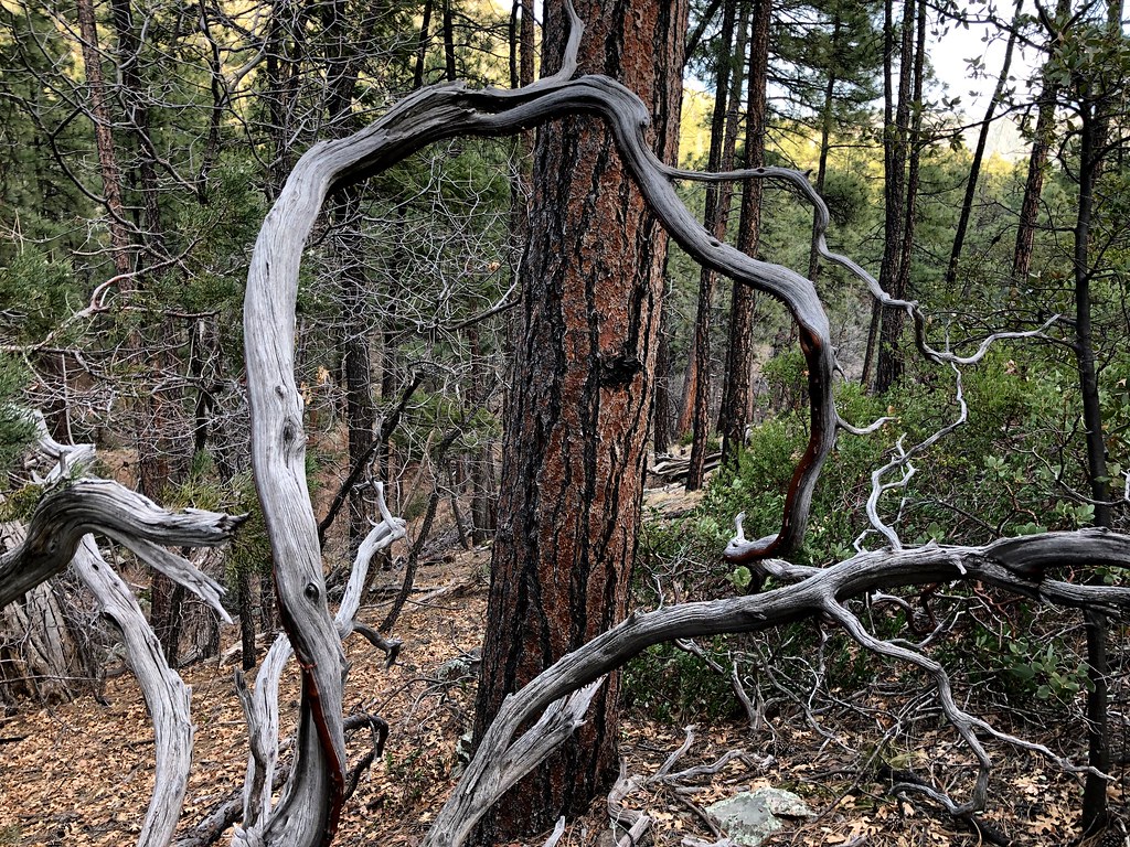 MohawkHiking · ~4 min drivePhoto: cogdogblog, Public Domain Dedication (CC0) (via Flickr)
 Arizona TrailHiking · ~19 min drivePhoto: Coconino NF Photography, Public Domain Dedication (CC0) (via Flickr)
 PineHiking · ~6 min drivePhoto: cogdogblog, CC BY 2.0 (via Flickr)
- Highline Trail #31Hiking · ~3 min drive
 Waterfall TrailHiking · ~17 min drivePhoto: Coconino NF Photography, Public Domain Mark (via Flickr)
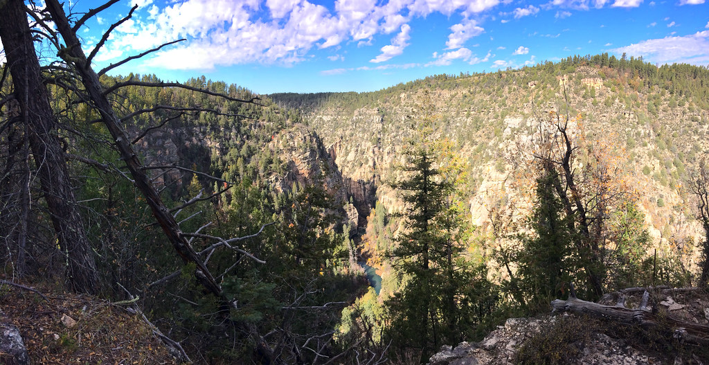 TramwayHiking · ~19 min drivePhoto: Coconino NF Photography, CC BY-SA 2.0 (via Flickr)
Also worth it near here
- Good EnoughMountain biking · Next doorPhoto: Coconino National Forest, CC BY-SA 2.0 (via Wikimedia Commons)
- Sharp Creek GroupCamping · ~3 min drive
 Strawberry MountainSummit · ~6 min drivePhoto: Cogdog, CC BY-SA 3.0 (via Wikimedia Commons)
 Tonto Natural BridgeNatural arch · ~9 min drivePhoto: Rednelson, CC BY-SA 3.0 (via Wikimedia Commons)
Best time to visit Good Enough
Best months: February–May and September–November. Best months have typical highs of 55–85 °F, lows of 30 °F or warmer (32 °F where the station doesn't record snow), at most one snowy day and no more than 12 wet days.
Jan
54° / 30°
Feb
57° / 32°
Mar
64° / 36°
Apr
70° / 41°
May
79° / 48°
Jun
88° / 58°
Jul
91° / 65°
Aug
89° / 62°
Sep
84° / 57°
Oct
74° / 46°
Nov
63° / 36°
Dec
53° / 30°
Typical high / low (°F) and days with rain or snow, 1991–2020. Measured at Natural Brg, AZ, 5.2 mi away at 4,608 ft. The station sits about 1,600 ft lower than this place, so expect it a little cooler here. This station doesn't record snowfall. Source: NOAA NCEI U.S. Climate Normals 1991–2020.
