Gap Creek
- 1.1 mi
- round trip
- 12 ft
- climb
- 2,955 ft
- high point
- Out and back
- route
- Oct–Apr
- best months
Caution at last check
Agency alerts are in effect for this area; weather is good · USFS, OpenWeather · checked 16 h ago
Is Gap Creek open right now?
Closure in the area
There's a closure order in Verde Ranger District. It doesn't name Gap Creek, so check the source for the area it covers (6 listed).
643 Closure Restoration Event
Agency closure covering Verde Ranger District · Order 03-09-05-26-08 · USFS · Verde Ranger District
Prescott National Forest Pile Burning Planned Through October
Agency closure covering Prescott National Forest · USFS · Prescott National Forest
Prescott National Forest Pile Burning through August
Agency closure covering Prescott National Forest · USFS · Prescott National Forest
NFS Road 354 Closure Order #03-07-26-02
Agency closure covering Prescott National Forest · Order 03-07-26-02 · USFS · Prescott National Forest
Juniper Fire (BLM)
Agency closure covering Prescott National Forest · USFS · Prescott National Forest
As of · Source: USFS · Verde Ranger District. Agencies don't list every closure — check before you go.
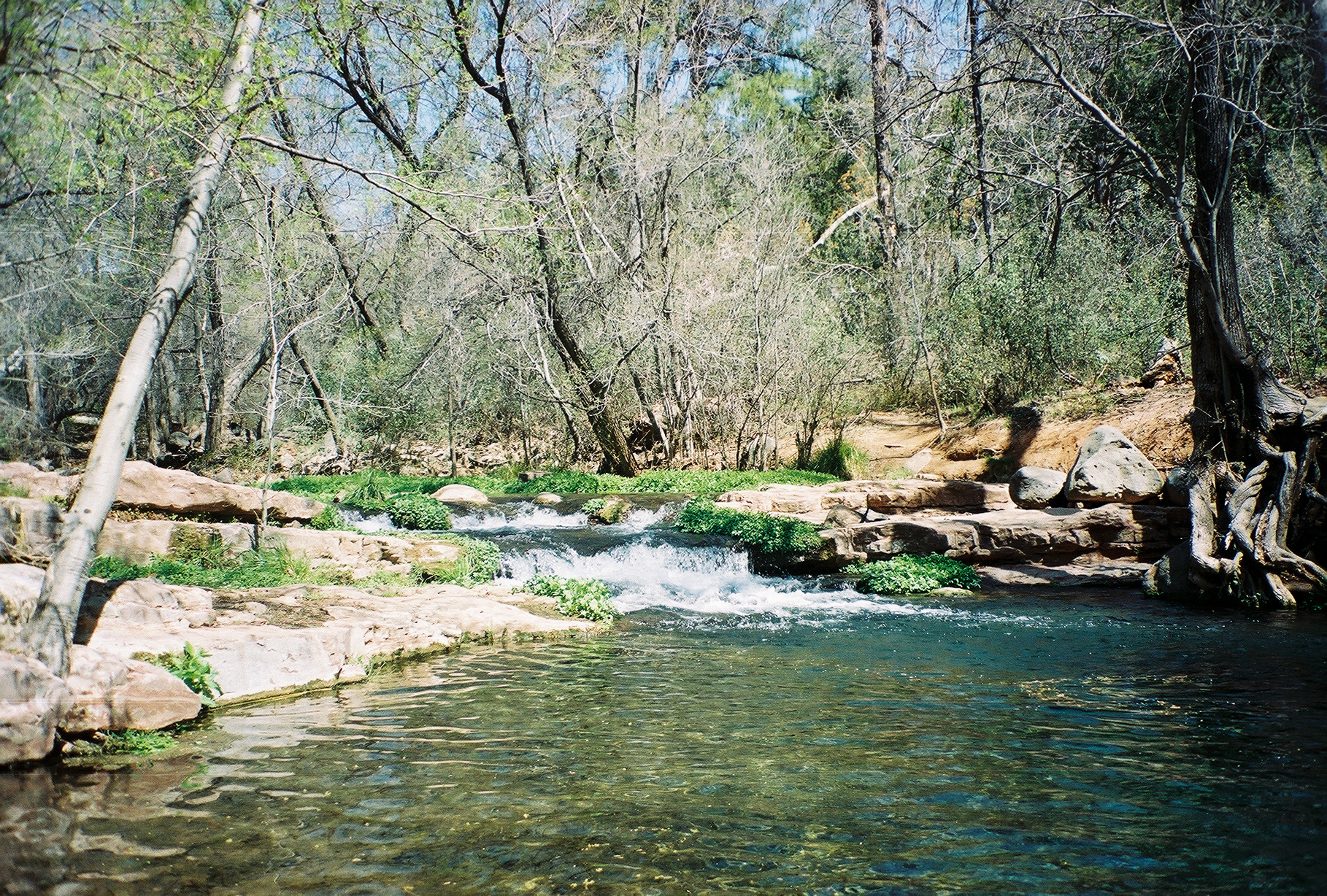
Gap Creek is an easy hike of about 1.1 miles in the Verde Ranger District of Prescott National Forest in Arizona, managed by the Forest Service. The trail is short and gentle, with a total elevation gain of about 12 feet, and it makes an out-and-back route from a low point of about 2,813 feet to a high of about 2,955 feet. Spring and fall are the most comfortable times to go. Typical averages from a nearby weather station in Childs, AZ, show April highs around 81°F and October highs around 84°F, while July averages about 104°F. The trail is on natural surface, and both horses and bikes are allowed. Oxbow is about 0.2 miles away and Lower Cedar Bench about 0.4 miles. Bull Run Connector is about 1.3 miles off, and the Verde River, a canoeing route, is about 8.7 miles away.
Local outfitters
- Camp Avalon Spiritual Nature Retreat28 mi away
- Canyon Outfitters Sedona31 mi away
Not on Roamze yet. Their page has how to reach them.
- OxbowHiking0.2 mi
- Lower Cedar BenchHiking0.4 mi
- Bull Run ConnectorHiking1.3 mi
- Dripping SpringHiking2.6 mi
 Verde RiverCanoeingPhoto: Jennifer Horn, Public domain (via Wikimedia Commons)8.7 mi
- Thirteen Mile RockRock climbing8.9 mi
 Fossil CreekCanoeingPhoto: Gonzo fan2007, CC BY-SA 3.0 (via Wikimedia Commons)9.8 mi
- Verde Ranger DistrictRiver fishing9.9 mi
Source: Roamze catalog (indexable pages within 10 miles, PostGIS distance)
 West Clear CreekHiking · ~17 min drivePhoto: Coconino NF Photography, Public Domain Mark (via Flickr)
 Waterfall TrailHiking · ~18 min drivePhoto: Coconino NF Photography, Public Domain Mark (via Flickr)
- Dripping SpringHiking · ~4 min drive
 Bob BearHiking · ~23 min drivePhoto: USDAgov, Public Domain Mark (via Flickr)
 FlumeHiking · ~21 min drivePhoto: Coconino NF Photography, Public Domain Dedication (CC0) (via Flickr)
- Goat SpringsHiking · ~7 min drive
- HackberryHiking · ~5 min drive
 Montezuma Castle TrailHiking · ~24 min drivePhoto: jasonwoodhead23, CC BY 2.0 (via Flickr)
- Short CutHiking · ~15 min drive
- Tule RimHiking · ~6 min drive
Best time to visit Gap Creek
Best months: October–April. Best months have typical highs of 55–85 °F, lows of 30 °F or warmer (32 °F where the station doesn't record snow), at most one snowy day and no more than 12 wet days.
Jan
63° / 31°
6 wet
Feb
67° / 33°
6 wet
Mar
73° / 37°
7 wet
Apr
81° / 41°
4 wet
May
90° / 49°
2 wet
Jun
101° / 57°
2 wet
Jul
104° / 65°
6 wet
Aug
101° / 66°
8 wet
Sep
95° / 59°
6 wet
Oct
84° / 47°
4 wet
Nov
71° / 36°
5 wet
Dec
61° / 30°
5 wet
Typical high / low (°F) and days with rain or snow, 1991–2020. Measured at Childs, AZ, 6.9 mi away at 2,650 ft. Source: NOAA NCEI U.S. Climate Normals 1991–2020.
