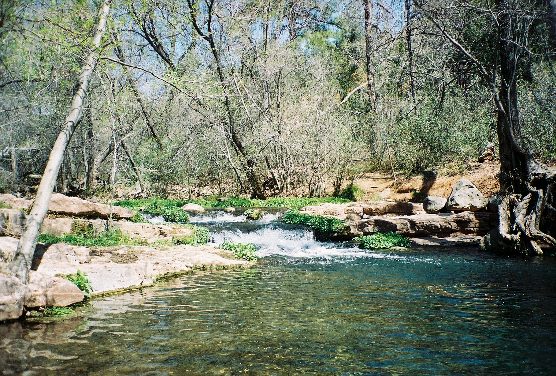
Thirteen Mile Rock
- 8 routes
- 5.6 – 5.10a
- Sport · Trad
- Feb–May, Sep–Nov
- best months
Is Thirteen Mile Rock open right now?
Closure in the area
There's a closure order in Coconino National Forest. It doesn't name Thirteen Mile Rock, so check the source for the area it covers (2 listed).
Red Rock Ranger Visitor Center closed; district affected by severe flooding
Agency closure covering Coconino National Forest · USFS · Coconino National Forest
Banjo Bill Picnic Area Closure
Agency closure covering Red Rock Ranger District · Order 03-04-06-25-01 · USFS · Red Rock Ranger District
West Fork Temporary Area Closure - Extension to 2/27/27
Agency alert covering Coconino National Forest · Order 03-04-00-26-09 · USFS · Coconino National Forest
West Sedona Camping and Campfire Restrictions
Agency alert covering Red Rock Ranger District · Order 03-04-06-26-04 · USFS · Red Rock Ranger District
Sedona/ Oak Creek Canyon Camping and Campfire Restrictions
Agency alert covering Red Rock Ranger District · Order 03-04-06-23-03 · USFS · Red Rock Ranger District
As of · Source: USFS · Coconino National Forest. Agencies don't list every closure — check before you go.
Thirteen Mile Rock is a climbing area in the Red Rock Ranger District of Coconino National Forest in northern Arizona, managed by the Forest Service. It sits among a cluster of hiking routes, with several trails within a few miles. The climbing here is a mix of sport and trad routes, with eight routes in total. Six are sport routes and two are trad. The grades run from 5.6 up to 5.10, with the hardest being Henrie's Route at 5.10- and Target Practice at 5.10. Cyclops Dwarf is the easiest at 5.6, and Corner Crack is the only trad route at 5.7. Spring and fall are the most comfortable times to visit. Typical averages from a nearby weather station show May highs around 79°F and October highs around 74°F, while July averages about 91°F. That station sits roughly 900 feet lower than the climbing area, so temperatures at the rock run cooler. Several hikes lie close by, including West Clear Creek at about 3 miles, Sycamore Spring at about 3.5 miles and Buckskin at about 3.7 miles. Fossil Creek, a paddling route, is about 8.6 miles away.
Best time to go · Feb–May, Sep–Nov
Best time to visit Thirteen Mile Rock
Best months: February–May and September–November. Best months have typical highs of 55–85 °F, lows of 30 °F or warmer (32 °F where the station doesn't record snow), at most one snowy day and no more than 12 wet days.
Jan
54° / 30°
Feb
57° / 32°
Mar
64° / 36°
Apr
70° / 41°
May
79° / 48°
Jun
88° / 58°
Jul
91° / 65°
Aug
89° / 62°
Sep
84° / 57°
Oct
74° / 46°
Nov
63° / 36°
Dec
53° / 30°
Typical high / low (°F) and days with rain or snow, 1991–2020. Measured at Natural Brg, AZ, 17.9 mi away at 4,608 ft. The station sits about 900 ft lower than this place, so expect it a little cooler here. This station doesn't record snowfall. Source: NOAA NCEI U.S. Climate Normals 1991–2020.
Keep exploring — more climbs worth the drive
 Photo: Coconino National Forest, CC0 (via Wikimedia Commons)
Wet Beaver Crack
~20 min drive
Wet Beaver Crack in Arizona has 11 climbing routes with 7 difficulty grades, offering top-rope and trad options.
 Photo: Coconino National Forest, CC BY-SA 2.0 (via Wikimedia Commons)
Quickie Wall
~24 min drive
Quickie Wall is a climbing area in Arizona with 5 trad routes.
 Photo: Coconino National Forest, CC BY-SA 2.0 (via Wikimedia Commons)
Anti-Crag
~25 min drive
Anti-Crag in Arizona has 19 climbing routes with 13 difficulty grades.
 Photo: Coconino National Forest, CC BY-SA 2.0 (via Wikimedia Commons)
West Clear Creek
~25 min drive
West Clear Creek in Arizona has 13 traditional climbing routes across 9 difficulty grades.
Photo: Coconino National Forest, CC BY-SA 2.0 (via Wikimedia Commons)Log Jam area
~26 min drive
Log Jam area in Arizona has 6 trad routes with 5 difficulty grades.
Photo: Coconino National Forest, CC BY-SA 2.0 (via Wikimedia Commons)John Doe Wall
~26 min drive
John Doe Wall is a climbing area in Arizona with 5 routes.
Photo: Coconino National Forest, CC BY-SA 2.0 (via Wikimedia Commons)Middle Section
~26 min drive
Middle Section in Arizona has 8 climbing routes across 8 difficulty grades.
Photo: Coconino National Forest, CC BY-SA 2.0 (via Wikimedia Commons)West Clear Creek
~26 min drive
West Clear Creek in Arizona has 6 bouldering routes across 3 grades.
 Photo: Michal Huniewicz, CC BY 3.0 (via Wikimedia Commons)
South Castle Tower
~35 min drive
South Castle Tower in Arizona has 14 climbing routes across 11 grades, offering sport and trad options.
 Photo: Qygen, CC BY-SA 3.0 (via Wikimedia Commons)
Castle Towers
~35 min drive
Castle Towers in Arizona offers 2 traditional climbing routes.