Verde Ranger District
- Mar–Apr, Oct–Nov
- best months
Caution at last check
Agency alerts are in effect for this area; weather is good · USFS, OpenWeather · checked 19 h ago
Is Verde Ranger District open right now?
Closure in the area
There's a closure order in Red Rock Ranger District. It doesn't name Verde Ranger District, so check the source for the area it covers (2 listed).
Red Rock Ranger District affected by severe flooding; many closures in effect
Agency closure covering Red Rock Ranger District · USFS · Red Rock Ranger District
Banjo Bill Picnic Area Closure
Agency closure covering Red Rock Ranger District · Order 03-04-06-25-01 · USFS · Red Rock Ranger District
West Fork Temporary Area Closure - Extension to 2/27/27
Agency alert covering Coconino National Forest · Order 03-04-00-26-09 · USFS · Coconino National Forest
West Sedona Camping and Campfire Restrictions
Agency alert covering Red Rock Ranger District · Order 03-04-06-26-04 · USFS · Red Rock Ranger District
Sedona/ Oak Creek Canyon Camping and Campfire Restrictions
Agency alert covering Red Rock Ranger District · Order 03-04-06-23-03 · USFS · Red Rock Ranger District
As of · Source: USFS · Red Rock Ranger District. Agencies don't list every closure — check before you go.
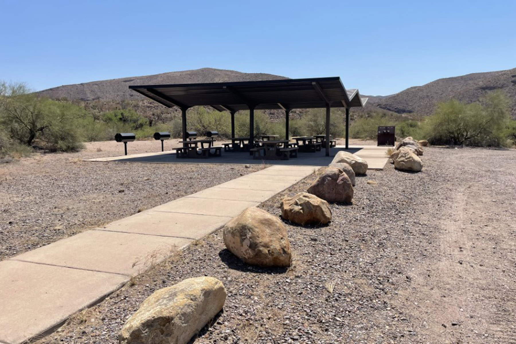
Located near the geographic center of Arizona, the Verde Ranger District is accessible to visitors from all over the state. Drop a fishing line into the Verde River at one of eight day-use access points or put your canoe in at White Bridge Recreation Area for a popular nine-mile float to Beasley Flat. Explore the site of an old salt mine near Camp Verde, re-create history by following part of General Crook’s military supply route, or book a stay at Sycamore Cabin, which once served as the ranger station for the old Bloody Basin Ranger District. ATV enthusiasts can enjoy off-road riding at Hayfield Draw.For relief from summer’s heat, follow the winding highway up to Mingus Mountain and camp in the pines at Potato Patch Campground or Mingus Recreation Area; groups of 20 to 100 can reserve Playground Group Campground. Many of the District’s hiking trails are located on Mingus, but it’s also a great place to relax and enjoy panoramic views of the Verde Valley. A bit lower on the mountain, near the cluster of homes known as Cherry, Powell Springs Campground stays open all year.To escape from the crowds, try a backpacking trip into Pine Mountain or Cedar Bench wildernesses, on the southeastern edge of the District. Bring your own water and be prepared for an abundance of wildlife such as bears, mountain lions, and javelina. For more information, please contact the Verde Ranger District. Information, permits, interpretive displays, LEED green building with solar panels and monitor, map sales, and free motor vehicle use maps for Prescott, Coconino, and Kaibab National Forests.
Local outfitters
- Verde Ranch RV Resort3 mi away
- Rancho Sedona RV Park22 mi away
Not on Roamze yet. Their page has how to reach them.
Best time to go · Mar–Apr, Oct–Nov
Best time to visit Verde Ranger District
Best months: March–April and October–November. Best months have typical highs of 55–85 °F, lows of 30 °F or warmer (32 °F where the station doesn't record snow), at most one snowy day and no more than 12 wet days.
Jan
61° / 26°
5 wet
Feb
65° / 29°
5 wet
Mar
72° / 35°
4 wet
Apr
79° / 40°
3 wet
May
88° / 47°
2 wet
Jun
98° / 54°
2 wet
Jul
101° / 64°
6 wet
Aug
99° / 63°
7 wet
Sep
93° / 55°
5 wet
Oct
82° / 43°
3 wet
Nov
69° / 31°
3 wet
Dec
59° / 25°
4 wet
Typical high / low (°F) and days with rain or snow, 1991–2020. Measured at Montezuma Castle Nm, AZ, 4.2 mi away at 3,180 ft. Source: NOAA NCEI U.S. Climate Normals 1991–2020.
Keep exploring — more waters worth the drive
SEE
Lake Montezuma
~12 min drive
Lake Montezuma is a 7-acre lake near Lake Montezuma, Arizona, at about 3,416 feet.
SEE
Crown King Area (Horsethief Basin)
~1h 2m drive
SEE
Lynx Lake Marina & Store Boating Site
~53 min drive
SEE
East Lagoon
~29 min drive
East Lagoon is a 32-acre lagoon near Cottonwood, Arizona, at about 3,286 feet. It is managed by the state park agency.
SEE
Pecks Lake
~32 min drive
Pecks Lake is a 104-acre lake near Clarkdale, Arizona, at about 3,373 feet.
SEE
Tavasci Marsh
~32 min drive
Tavasci Marsh is a 36-acre pond near Clarkdale, Arizona, at about 3,328 feet. It is managed by the National Park Service.
SEE
New Tank
~33 min drive
New Tank is an 8-acre lake near Happy Jack, Arizona, at about 6,161 feet. It is managed by the U.S. Forest Service.
SEE
Mingus Mountain
~33 min drive
SEE
Dad Jones Tank Number Two
~34 min drive
Dad Jones Tank Number Two is a 22-acre reservoir near Sedona, Arizona, at about 4,024 feet.
SEE
Stoneman Lake
~42 min drive
Stoneman Lake is a 141-acre lake near Stoneman Lake, Arizona, at about 6,720 feet. It is managed by the U.S. Forest Service.

