Verde Hot Springs
- 2,633 ft
- elevation
- Forest Service
- managed by
- Oct–Apr
- best months
Is Verde Hot Springs open right now?
Closure in the area
There's a closure order in Cave Creek Ranger District. It doesn't name Verde Hot Springs, so check the source for the area it covers.
Telegraph Line Trail (NFST 42) and NFST 1069 Emergency Closure for Public Safety
Agency closure covering Cave Creek Ranger District · Order 03-12-01-26-37 · USFS · Cave Creek Ranger District
Rattlesnake Cove Developed Recreation Site - Post Flood Recovery and Public Safety Closure
Agency alert covering Tonto National Forest · Order 3-12-01-26-36 · USFS · Tonto National Forest
Emergency Closure of Needle Rock and Box Bar Recreation Sites for Public Safety
Agency alert covering Cave Creek Ranger District · Order 03-12-01-26-32 · USFS · Cave Creek Ranger District
Riverside Post Fire Recovery and Safety Closure – Extension
Agency alert covering Cave Creek Ranger District · Order 03-12-01-26-24 · USFS · Cave Creek Ranger District
Canyon Lake Drawdown Public Safety Closure
Agency alert covering Tonto National Forest · Order 03-12-00-26-22 · USFS · Tonto National Forest
As of · Source: USFS · Cave Creek Ranger District. Agencies don't list every closure — check before you go.
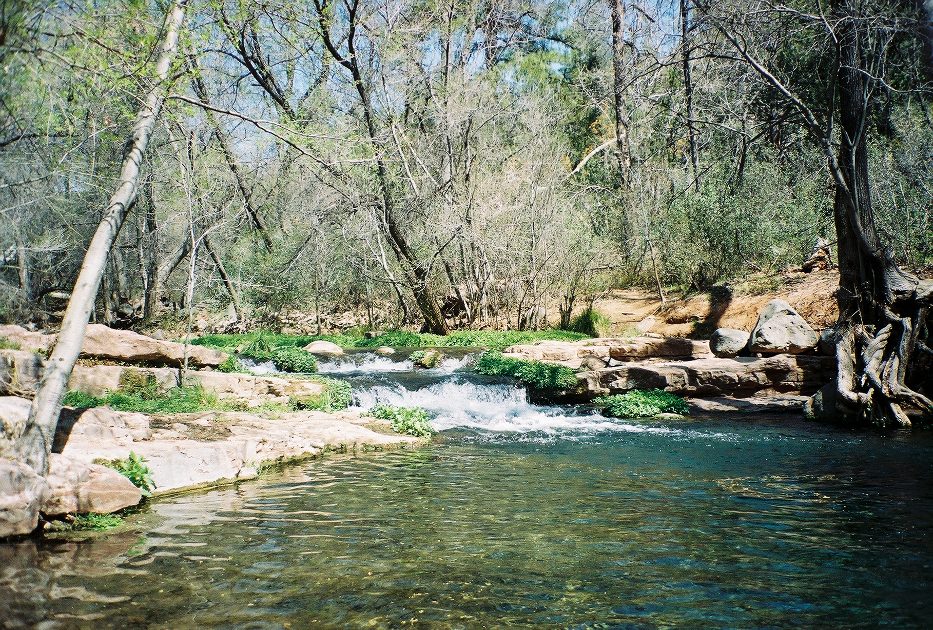
Verde Hot Springs is a natural hot spring in Arizona, at about 2,633 feet. The U.S. thermal springs inventory (NOAA) records its water at 104°F. It is on National Forest land.
- Source temperature
- 104°F
- Clothing
- Clothing optional
- Land manager
- Forest Service
Also worth it near here
Best time to visit Verde Hot Springs
Best months: October–April. Best months have typical highs of 55–85 °F, lows of 30 °F or warmer (32 °F where the station doesn't record snow), at most one snowy day and no more than 12 wet days.
Jan
63° / 31°
6 wet
Feb
67° / 33°
6 wet
Mar
73° / 37°
7 wet
Apr
81° / 41°
4 wet
May
90° / 49°
2 wet
Jun
101° / 57°
2 wet
Jul
104° / 65°
6 wet
Aug
101° / 66°
8 wet
Sep
95° / 59°
6 wet
Oct
84° / 47°
4 wet
Nov
71° / 36°
5 wet
Dec
61° / 30°
5 wet
Typical high / low (°F) and days with rain or snow, 1991–2020. Measured at Childs, AZ, 0.8 mi away at 2,650 ft. Source: NOAA NCEI U.S. Climate Normals 1991–2020.

Map and trail data © OpenStreetMap contributors
