

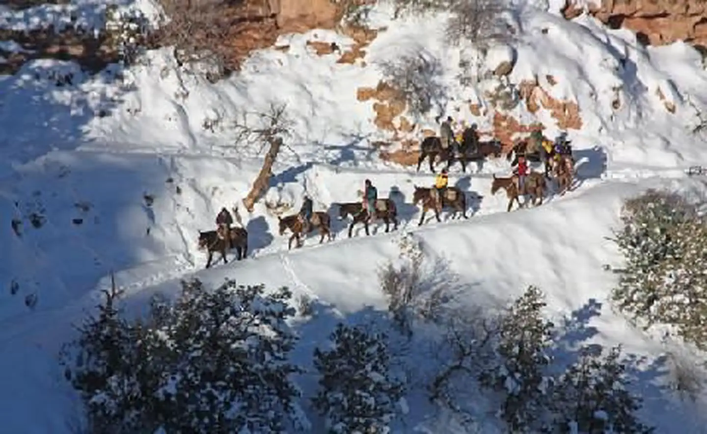
Buck Wild Hummer Tours
Hiking business nearby (~12 mi away) — hasn't claimed their Roamze page yet
Free — you'll pick up right here.
Watch this trail
Sign up to watch it — saving subscribes you to gate, closure and report changes.
Arizona
22.8 mi
Distance
1,187 ft
Gain
8h 11m
Time
Weather is good
1 factor · 1 source
Observed 16 h ago
clear: Weather
Clear, high 85°F / low 79°F, 0% precip — 93/100 for hike
OpenWeather16 h ago
Been out here in the last few days? One report keeps this current for everyone.
Why you'll love it
Escalante Route
AI-suggested draft · review before you go
The Escalante Route is a 22.8-mile out-and-back trail located in Arizona and managed by the United States National Park Service. This backcountry route offers hikers an extended wilderness experience with 1,187 feet of elevation gain spread across the full distance. As an out-and-back trail, the Escalante Route allows hikers to turn around at any point, making it flexible for different fitness levels and time constraints. The trail's moderate elevation gain relative to its length suggests a gradual climbing profile suitable for hikers with intermediate experience. This route is maintained by the National Park Service, ensuring regular upkeep and adherence to public land management standards. The Escalante Route provides access to the remote desert landscape characteristic of Arizona's park system, offering solitude and scenic backcountry exploration for those prepared for a substantial day hike or multi-day backpacking trip. Before heading out, check current conditions with the National Park Service and come prepared with adequate water and navigation tools for this remote desert environment.
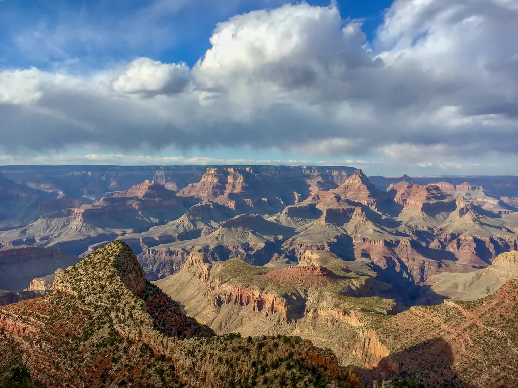
Grandview Point
~9 min drive
Grandview Point is one of the most popular South Rim viewpoints in the park. It is located along Desert View Drive (SR 64), halfway between Grand Canyon Village (10.2 miles/16.4 K) and Desert View (13.8 miles/22.2 K). The viewpoint offers breathtaking panoramic views of the ca…
Grandview Trail
~6 min drive
8.6 mi · Moderate
Unkar Delta Loop
~6 min drive
0.8 mi · Easy
Tanner Trail
~7 min drive
A demanding 13.94-mile out-and-back trail in Arizona offering a hard-level challenge for experienced hikers.
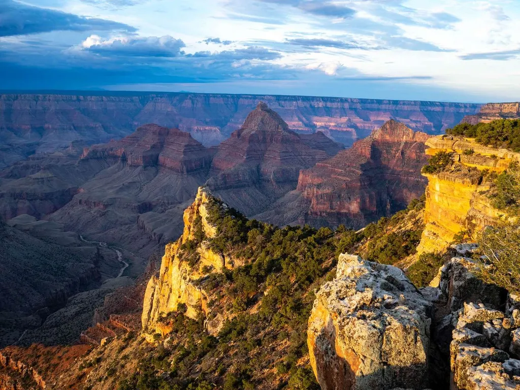
Cape Final
~12 min drive
On May 15, the North Rim reopened for the season. Visitors should plan ahead and be prepared for a more remote experience this year, with limited services available as the park continues recovery and restoration work. The 2026 season will focus mainly on day use and limited b…
New Hance Trail
~7 min drive
12 mi · Moderate
Cottonwood Creek Trail
~6 min drive
3.2 mi · Easy
Tonto Trail
~7 min drive
Epic 91-mile Grand Canyon backcountry trail along the Tonto Platform.
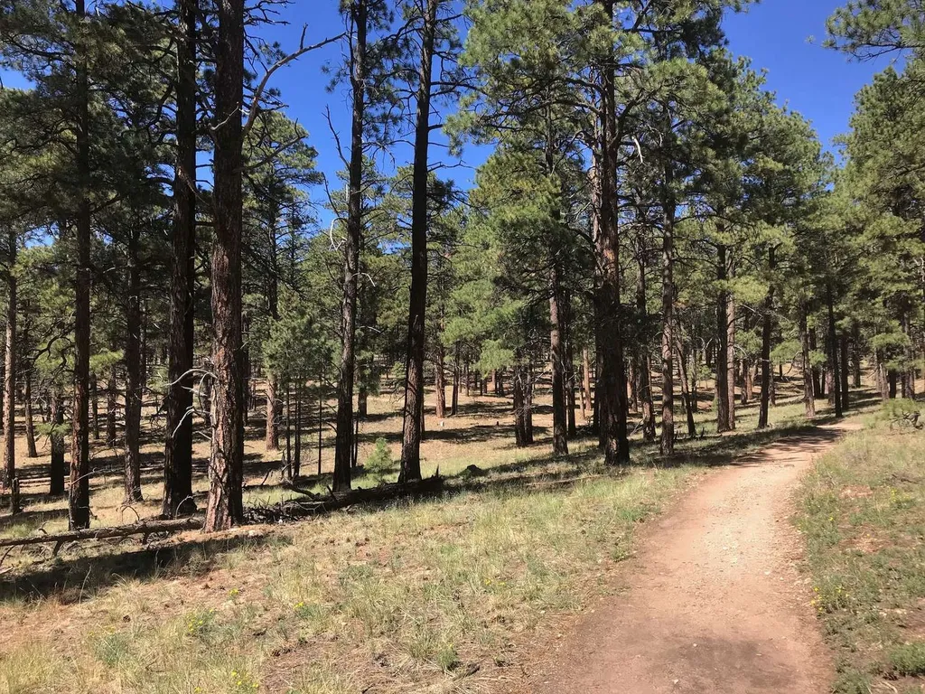
Cape Final Trail
~12 min drive
On May 15, the North Rim reopened for the season. Visitors should plan ahead and be prepared for a more remote experience this year, with limited services available as the park continues recovery and restoration work. The 2026 season will focus mainly on day use and limited b…
Ariel Point Trail
~19 min drive
6.2 mi · Moderate
Local operatorsoffering guided trips. You book directly with them — Roamze doesn’t take a cut.
Buck Wild Hummer Tours
Hiking business nearby (~12 mi away) — hasn't claimed their Roamze page yet
Wander Camp
Hiking business nearby (~23 mi away) — hasn't claimed their Roamze page yet