

Buck Wild Hummer Tours
Hiking business nearby (~9 mi away) — hasn't claimed their Roamze page yet
Free — you'll pick up right here.
Watch this trail
Sign up to watch it — saving subscribes you to gate, closure and report changes.
Arizona
2.9 mi
Distance
2,438 ft
Gain
1h 16m
Time
We won't guess. Here is exactly what we do and don't know.
What we do know
Inside Grand Canyon National Park
National Park unit boundary is mapped — agency alerts for it feed this page automatically.
Boundary data
What's missing
No access route mapped
We don't yet know which road reaches this trailhead, so we can't tell you if it's gated.
Nobody's filed a report here yet — be the first.
Why you'll love it
Hance Creek Trail
AI-suggested draft · review before you go
Hance Creek Trail is a 2.9-mile out-and-back trail located in Arizona and managed by the United States National Park Service. With no elevation gain, this route offers a relatively flat hiking experience suitable for a wide range of fitness levels. The trail provides an accessible option for those seeking a shorter day hike without significant climbing or descending. As an out-and-back trail, hikers will retrace their steps on the return journey, making it easy to turn back at any point if desired. The flat terrain and modest distance make this trail ideal for families, casual hikers, or those looking for a leisurely outdoor walk. The National Park Service maintains this trail as part of their protected lands in Arizona. Before heading out, check with the National Park Service for current trail conditions, any seasonal closures, and specific regulations that may apply. Bring adequate water and sun protection, as desert hiking in Arizona can expose you to intense sun and limited shade depending on the specific location within the park.
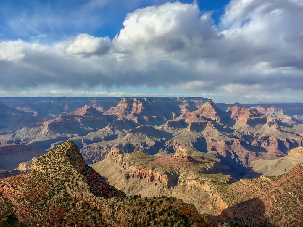
Grandview Point
~3 min drive
Grandview Point is one of the most popular South Rim viewpoints in the park. It is located along Desert View Drive (SR 64), halfway between Grand Canyon Village (10.2 miles/16.4 K) and Desert View (13.8 miles/22.2 K). The viewpoint offers breathtaking panoramic views of the ca…
Cottonwood Creek Trail
~0 min drive
3.2 mi · Easy
Tonto Trail
~2 min drive
Epic 91-mile Grand Canyon backcountry trail along the Tonto Platform.
Grandview Trail
~2 min drive
8.6 mi · Moderate
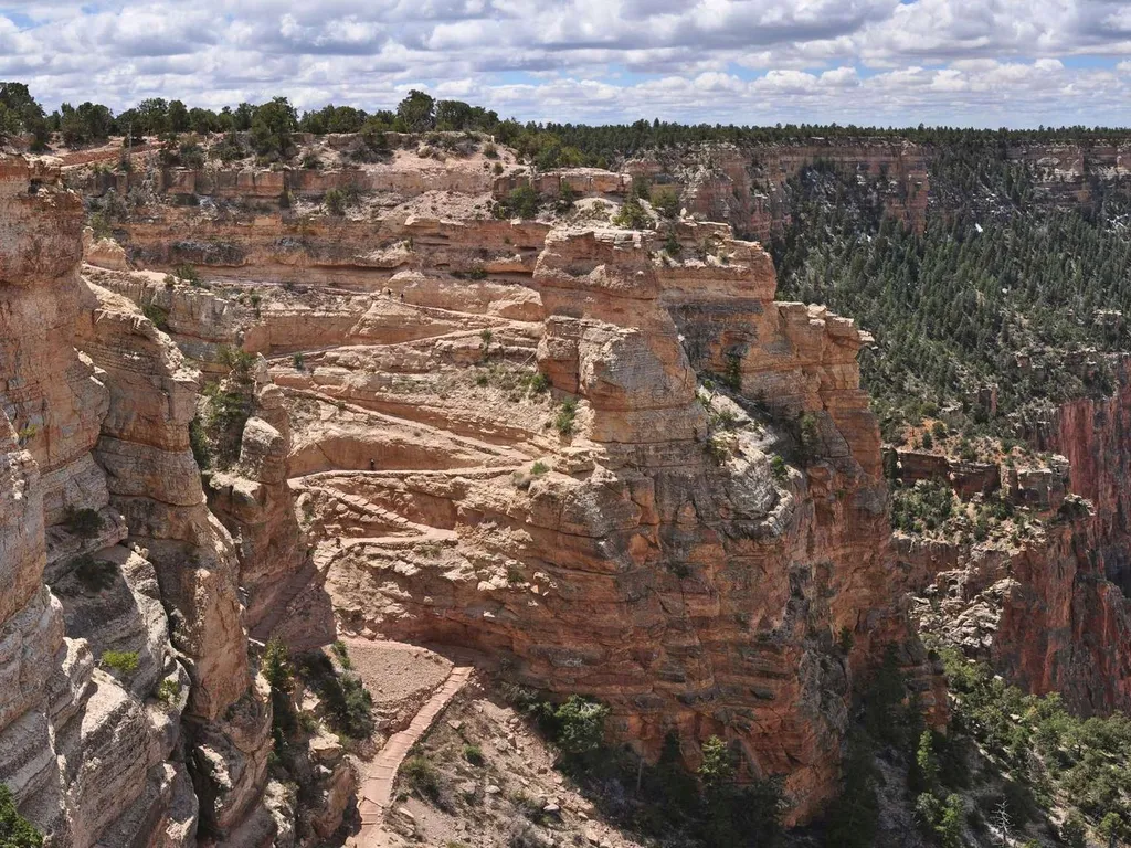
South Kaibab Trail
~11 min drive
Know Before You Go Before heading down into the canyon, consult the signs at the trailhead, and scan the QR code for trip planning, current weather, water availability, and trail information/closures. (or visit our Key Hiking Messages webpage). Trail Reopenings and Current C…
Vishnu Overlook Trail #125
~7 min drive
An easy 0.99-mile lollipop trail in Arizona ideal for casual hikers looking for a quick, accessible outdoor experience.
Escalante Route
~6 min drive
23 mi · Hard
New Hance Trail
~5 min drive
12 mi · Moderate
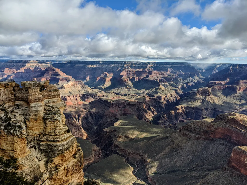
Rim Trail - Mather Point
~14 min drive
The Rim Trail is a mostly paved path that stretches roughly 13 miles (21 km) along the southern rim of Grand Canyon from South Kaibab Trailhead in the east to Hermits Rest in the west. Most people won't hike the whole trail in one go, but walking short sections of the rim can…
Shoshone Point Trail
~9 min drive
4.8 mi · Easy
Local operatorsoffering guided trips. You book directly with them — Roamze doesn’t take a cut.
Buck Wild Hummer Tours
Hiking business nearby (~9 mi away) — hasn't claimed their Roamze page yet
Wander Camp
Hiking business nearby (~20 mi away) — hasn't claimed their Roamze page yet