Arizona Trail
- 2.8 mi
- round trip
- 267 ft
- climb
- 7,076 ft
- high point
- Out and back
- route
- Apr–Oct
- best months
Caution at last check
Agency alerts are in effect for this area; weather is good · USFS, OpenWeather · checked 20 h ago
Is Arizona Trail open right now?
Closure in the area
There's a closure order in Kaibab National Forest. It doesn't name Arizona Trail, so check the source for the area it covers (3 listed).
Heavy storm damages received - use extreme caution
Agency closure covering Kaibab National Forest · USFS · Kaibab National Forest
Christmas tree permits available online beginning October 8
Agency closure covering Kaibab National Forest · USFS · Kaibab National Forest
Forest Road 354 on Kaibab & Prescott NF Temporarily Closed for Repairs
Agency closure covering Kaibab National Forest · Order 03-07-26-02 · USFS · Kaibab National Forest
As of · Source: USFS · Kaibab National Forest. Agencies don't list every closure — check before you go.
This 5.6-mile out-and-back trail in Arizona's Tusayan Ranger District of the Kaibab National Forest is a short, moderate route that fits easily into a day on the Arizona Trail system. It is part of Passage 42, a section of the larger Arizona Trail network, and offers hikers a way to experience the trail without committing to a longer route. The trail runs from a low point of about 6,871 feet to a high of about 7,076 feet, with an elevation gain of about 267 feet. That makes it an accessible option for a day on foot, and the out-and-back format lets you turn around at any point along the way. Spring and fall are the most comfortable times to go. Typical averages from a nearby weather station at a similar elevation show May highs around 68°F and October highs around 63°F, while July averages about 84°F and January highs sit near 42°F. Nearby, the Tusayan Mtn Bike Loop is about 3.3 miles away and the Tusyan Sidewalk about 3.6 miles. Tusayan - Montane campground is about 4 miles off, and the Buttes climbing area is about 6.8 miles away.
Local outfitters
- Buck Wild Hummer Tours4 mi away
- Wander Camp16 mi away
Not on Roamze yet. Their page has how to reach them.
- Tusayan Mtn Bike LoopHiking3.3 mi
- Tusyan SidewalkHiking3.6 mi
- Tusayan Ranger DistrictRiver fishing3.7 mi
- Tusayan - MontaneCamping4 mi
- Hull CabinCamping6.5 mi
- ButtesRock climbing6.8 mi
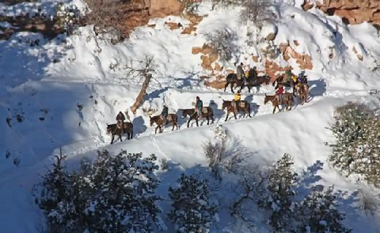 El Tovar HotelLake fishing7.5 mi
 Wailing WallRock climbingPhoto: Hermann Luyken, CC0 (via Wikimedia Commons)7.9 mi
Source: Roamze catalog (indexable pages within 10 miles, PostGIS distance)
 Trail 6 YlwHiking · ~7 min drivePhoto: Kaibab National Forest, CC BY-SA 2.0 (via Wikimedia Commons)
- Grandview PointHiking · ~8 min drive
 Hance Creek TrailHiking · ~10 min drivePhoto: niklas.tenhaef1, CC BY 2.0 (via Flickr)
 East TontoHiking · ~11 min drivePhoto: Nate Loper • #ArizonaGuide ️, CC BY 2.0 (via Flickr)
- Long Jim TrailHiking · ~9 min drive
 Shoshone Point TrailHiking · ~9 min drivePhoto: Grand Canyon NPS, CC BY 2.0 (via Flickr)
 Pipe Creek VistaHiking · ~10 min drivePhoto: Stephen Edmonds, CC BY-SA 3.0 (via Wikimedia Commons)
 Tonto TrailHiking · ~10 min drivePhoto: Nate Loper • #ArizonaGuide ️, CC BY 2.0 (via Flickr)
 Grandview TrailHiking · ~11 min drivePhoto: niklas.tenhaef1, CC BY 2.0 (via Flickr)
- Arizona National Scenic TrailHiking · ~10 min drivePhoto: Stephen Edmonds, CC BY-SA 3.0 (via Wikimedia Commons)
Best time to visit Arizona Trail
Best months: April–October. Best months have typical highs of 55–85 °F, lows of 30 °F or warmer (32 °F where the station doesn't record snow), at most one snowy day and no more than 12 wet days.
Jan
42° / 26°
Feb
44° / 27°
Mar
52° / 31°
Apr
59° / 36°
May
68° / 44°
Jun
80° / 55°
Jul
84° / 59°
Aug
81° / 58°
Sep
75° / 53°
Oct
63° / 41°
Nov
51° / 33°
Dec
43° / 24°
Typical high / low (°F) and days with rain or snow, 1991–2020. Measured at Grand Canyon Visitor Ctr, AZ, 6.9 mi away at 7,083 ft. This station doesn't record snowfall. Source: NOAA NCEI U.S. Climate Normals 1991–2020.

Map and trail data © OpenStreetMap contributors
