Gold Canyon Dispersed Camping
Campground
Campground · 6.0 mi from the trail
Ellsworth Ranch Trail is a hard out-and-back hike in Arizona, set on State Trust Land managed by the State Department of Land. The route is about 17 miles long, and it rises roughly 220 feet from the trailhead at 1,605 feet to a high point of 1,817 feet before descending back down. The climb is front-loaded, which makes the second half of the trail slightly easier to handle. The most comfortable months for a visit are winter and early spring. Typical averages from the nearby Florence weather station show January highs around 68°F and March highs near 79°F, with only about three wet days a month. Summer is punishing, with typical July highs around 105°F. The trip takes about six hours to complete. Poston Butte Trail lies about 8.5 miles away and makes a good pairing for a longer day on the trails.
Gold Canyon Dispersed Camping
Campground
Observation Lookout
Viewpoint
Places © OpenStreetMap contributors
More in SuperiorNot on Roamze yet. Their page has how to reach them.
Source: Roamze catalog (indexable pages within 10 miles, PostGIS distance)
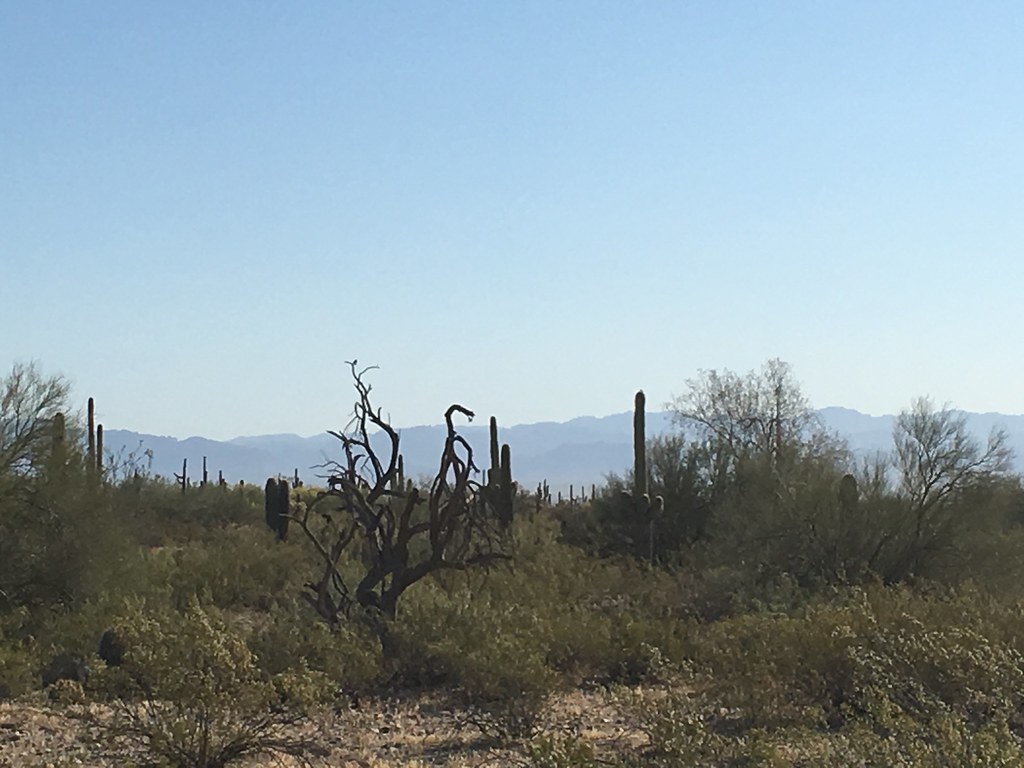 Goldmine TrailHiking · ~22 min drivePhoto: Kimaz2412, CC BY 2.0 (via Flickr)San Tan TrailHiking · ~23 min drivePhoto: Kimaz2412, CC BY 2.0 (via Flickr)
 Lost Goldmine TrailHiking · ~25 min drivePhoto: lamblukas, CC BY 2.0 (via Flickr)Stargazer TrailHiking · ~23 min drivePhoto: Kimaz2412, CC BY 2.0 (via Flickr)
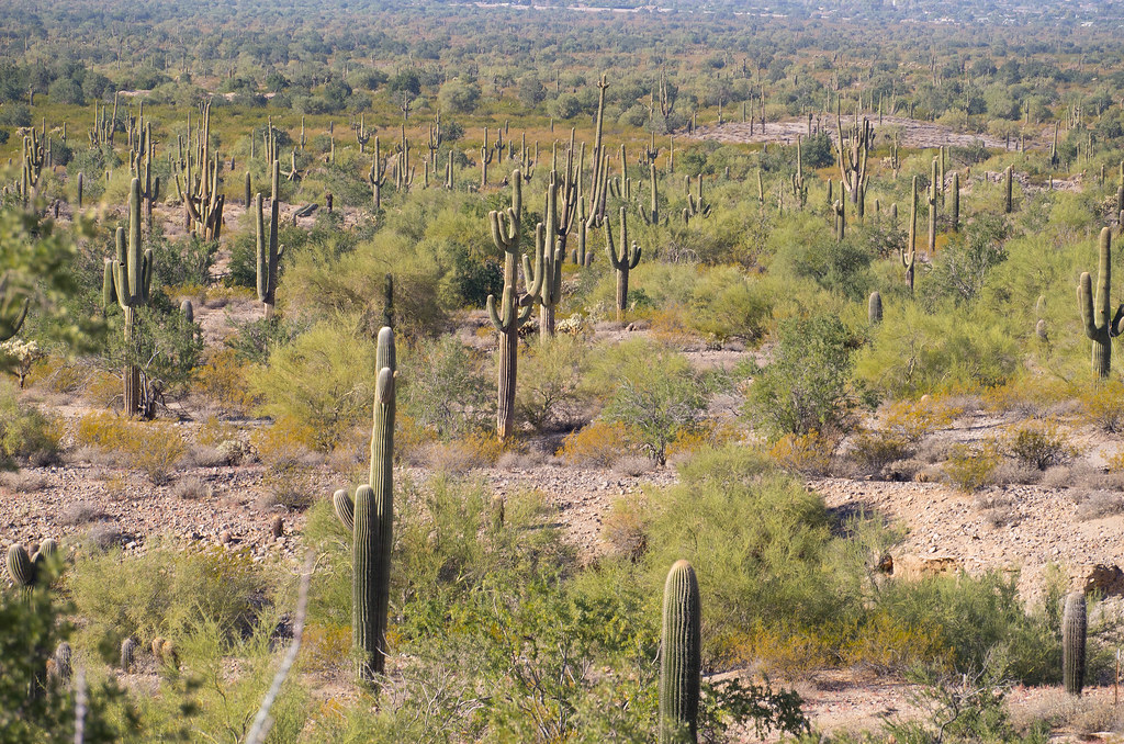 Malpais TrailHiking · ~24 min drivePhoto: _sffc, CC BY 2.0 (via Flickr)
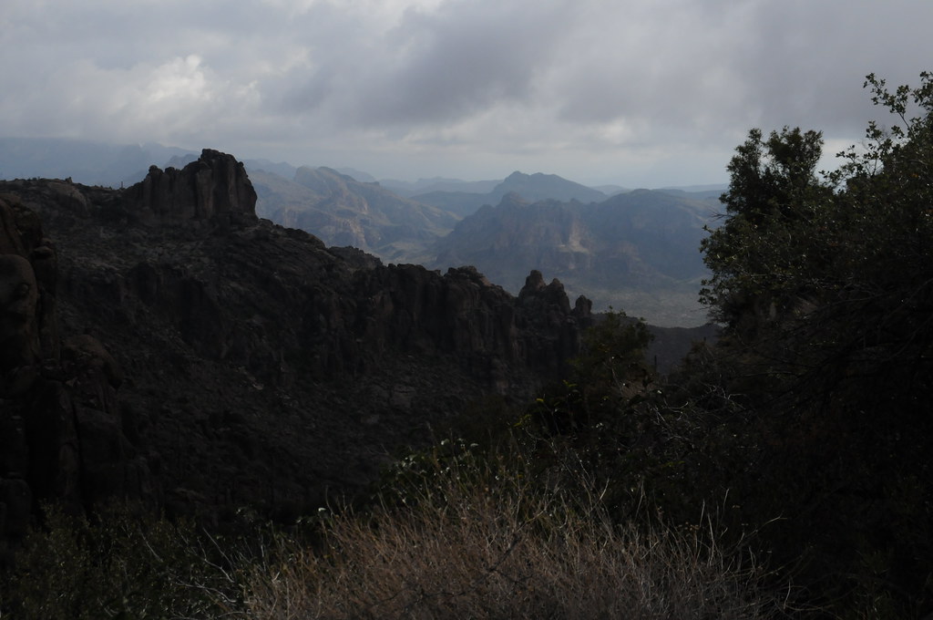 Peralta Trail #102Hiking · ~27 min drivePhoto: HockeyholicAZ, CC BY 2.0 (via Flickr)Old Horse TrailHiking · ~23 min drivePhoto: lamblukas, CC BY 2.0 (via Flickr)
 Carney Springs TrailHiking · ~26 min drivePhoto: lamblukas, CC BY 2.0 (via Flickr)
Best months: November–March. Best months have typical highs of 55–85 °F, lows of 30 °F or warmer (32 °F where the station doesn't record snow), at most one snowy day and no more than 12 wet days.
Jan
68° / 42°
3 wet
Feb
71° / 44°
3 wet
Mar
79° / 49°
3 wet
Apr
86° / 53°
1 wet
May
94° / 61°
1 wet
Jun
103° / 70°
1 wet
Jul
105° / 78°
2 wet
Aug
103° / 78°
3 wet
Sep
99° / 72°
2 wet
Oct
89° / 60°
1 wet
Nov
77° / 48°
2 wet
Dec
67° / 41°
3 wet
Typical high / low (°F) and days with rain or snow, 1991–2020. Measured at Florence, AZ, 9.8 mi away at 1,400 ft. Source: NOAA NCEI U.S. Climate Normals 1991–2020.
Map and trail data © OpenStreetMap contributors

