Desert Gardens Oasis RV Park
Campground
Campground · 7.2 mi from the trail
Poston Butte Trail is a short, out-and-back hike on Bureau of Land Management land in Arizona's Lower Sonoran Field Office, about half a mile from the trailhead. The route is front-loaded, with the steepest stretch at 0.24 miles, rising from 1,485 feet to a high point of 1,681 feet before returning to the same elevation. The trail is just under a mile long and gains about 200 feet, so the round trip covers roughly the same amount of elevation. Spring and fall are the most comfortable times to go. Typical averages from the nearby Florence, Arizona weather station show March highs around 79°F and October highs near 89°F, while June through August average in the low 100s. The trail takes about half an hour to complete, and Ellsworth Ranch Trail lies about 8.5 miles away for a longer outing.
Desert Gardens Oasis RV Park
Campground
Observation Lookout
Viewpoint
Places © OpenStreetMap contributors
More in SuperiorNot on Roamze yet. Their page has how to reach them.
Daily highs and lows, wind and the chance of precipitation at the summit and route start for the next 7 days, from the Open-Meteo model.
Source: Roamze catalog (indexable pages within 10 miles, PostGIS distance)
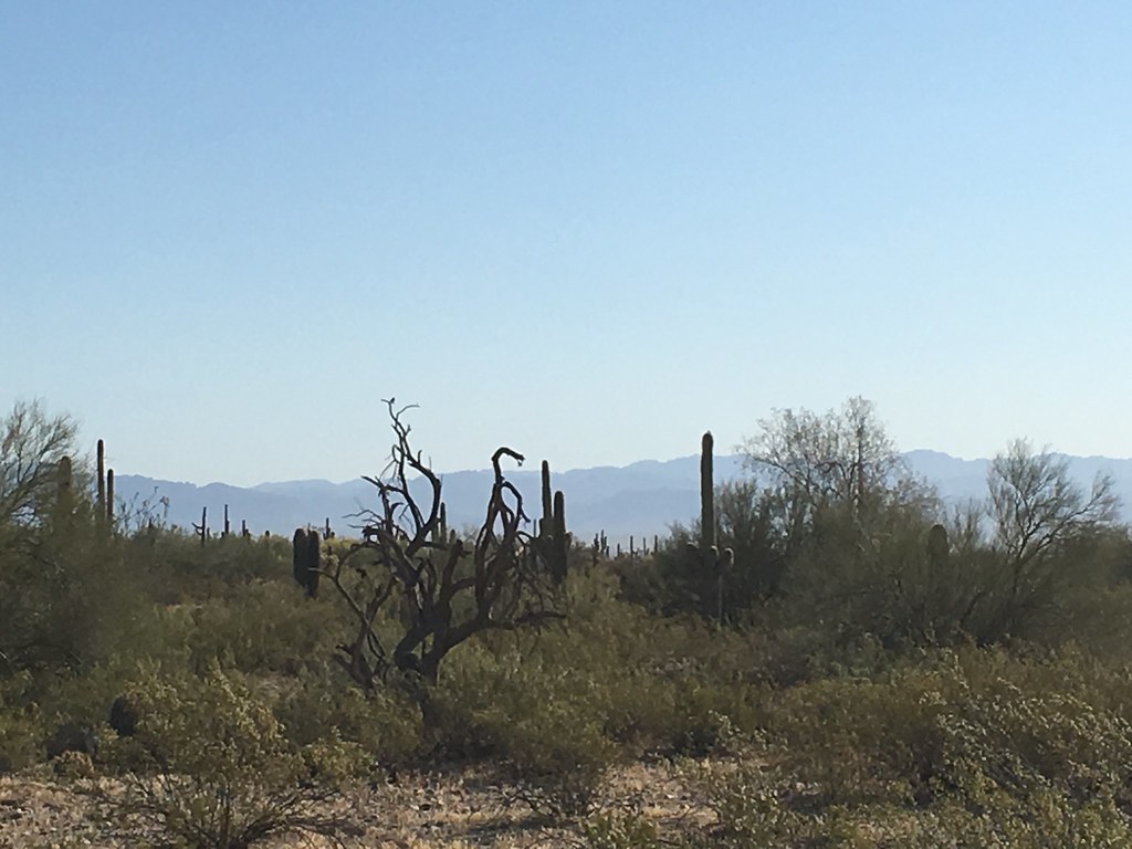 Stargazer TrailHiking · ~26 min drivePhoto: Kimaz2412, CC BY 2.0 (via Flickr)
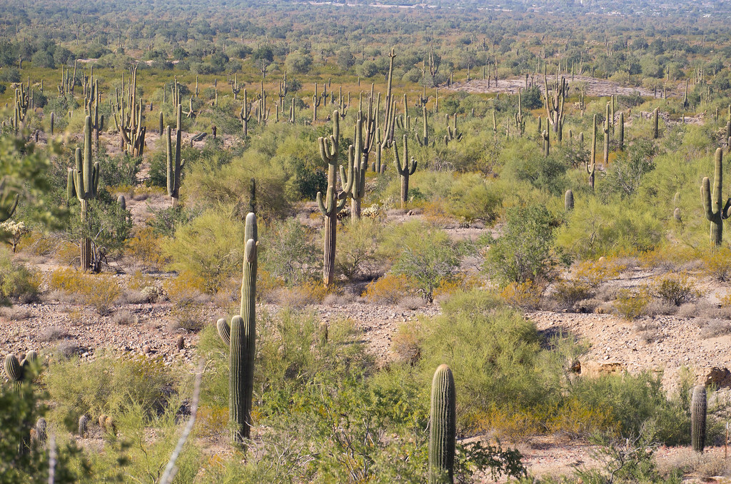 Malpais TrailHiking · ~27 min drivePhoto: _sffc, CC BY 2.0 (via Flickr)
 Lost Goldmine TrailHiking · ~40 min drivePhoto: lamblukas, CC BY 2.0 (via Flickr)Goldmine TrailHiking · ~27 min drivePhoto: Kimaz2412, CC BY 2.0 (via Flickr)San Tan TrailHiking · ~27 min drivePhoto: Kimaz2412, CC BY 2.0 (via Flickr)Hedgehog TrailHiking · ~27 min drivePhoto: _sffc, CC BY 2.0 (via Flickr)
 Legends of Superior TrailHiking · ~38 min drivePhoto: William Herron, CC BY-SA 2.0 (via Flickr)
Also worth it near here
Best months: November–March. Best months have typical highs of 55–85 °F, lows of 30 °F or warmer (32 °F where the station doesn't record snow), at most one snowy day and no more than 12 wet days.
Jan
68° / 42°
3 wet
Feb
71° / 44°
3 wet
Mar
79° / 49°
3 wet
Apr
86° / 53°
1 wet
May
94° / 61°
1 wet
Jun
103° / 70°
1 wet
Jul
105° / 78°
2 wet
Aug
103° / 78°
3 wet
Sep
99° / 72°
2 wet
Oct
89° / 60°
1 wet
Nov
77° / 48°
2 wet
Dec
67° / 41°
3 wet
Typical high / low (°F) and days with rain or snow, 1991–2020. Measured at Florence, AZ, 1.5 mi away at 1,400 ft. Source: NOAA NCEI U.S. Climate Normals 1991–2020.
About 0.5 mi round trip.
About 200 ft of climbing round trip.
It is rated easy.
About 0.5 hours round trip.
Map and trail data © OpenStreetMap contributors


