Goldmine Trail
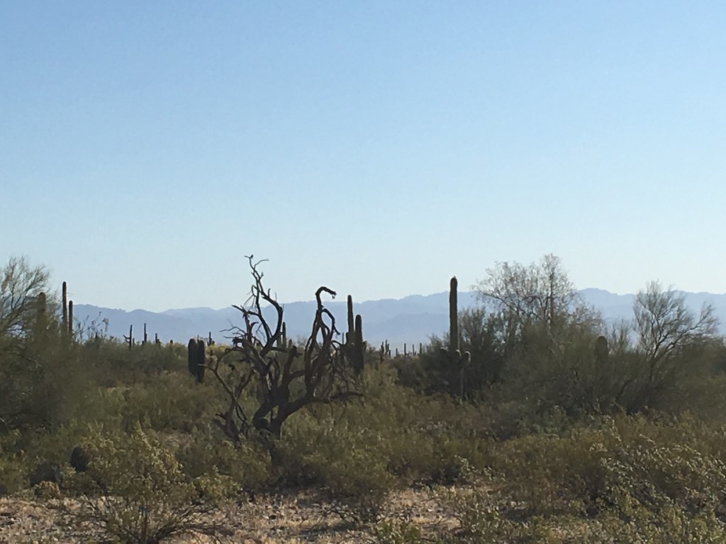 Photo: Kimaz2412, CC BY 2.0 (via Flickr)
- 0.7 mi
- round trip
- 92 ft
- climb
- 1,757 ft
- high point
- Out and back
- route
- Nov–Apr
- best months
Goldmine Trail is a short, easy out-and-back hike in San Tan Regional Park in Arizona, on land managed by a regional agency. The trail is about 0.67 miles long, and the round trip covers roughly 1.3 miles with a total elevation gain of about 92 feet. The high point is about 1757 feet, and the steepest stretch comes at about 0.54 miles in, with a grade of about 4 percent. The most comfortable months for a visit are typically the cooler part of the year. Typical averages from a nearby weather station in Chandler Heights show March highs around 77°F and November highs around 74°F, while summer highs climb into the 100s. The hike takes about half an hour. The San Tan Trail starts just 0.1 mile away, and the Stargazer Trail is about 0.6 mile off. The Hedgehog Trail and Malpais Trail are both within about 2 miles.
Local outfitters
- VIP RV Resort17 mi away
- Arizona Desert Mountain Jeep Tours42 mi away
Not on Roamze yet. Their page has how to reach them.
- San Tan TrailHikingPhoto: Kimaz2412, CC BY 2.0 (via Flickr)0.1 mi
- Stargazer TrailHikingPhoto: Kimaz2412, CC BY 2.0 (via Flickr)0.6 mi
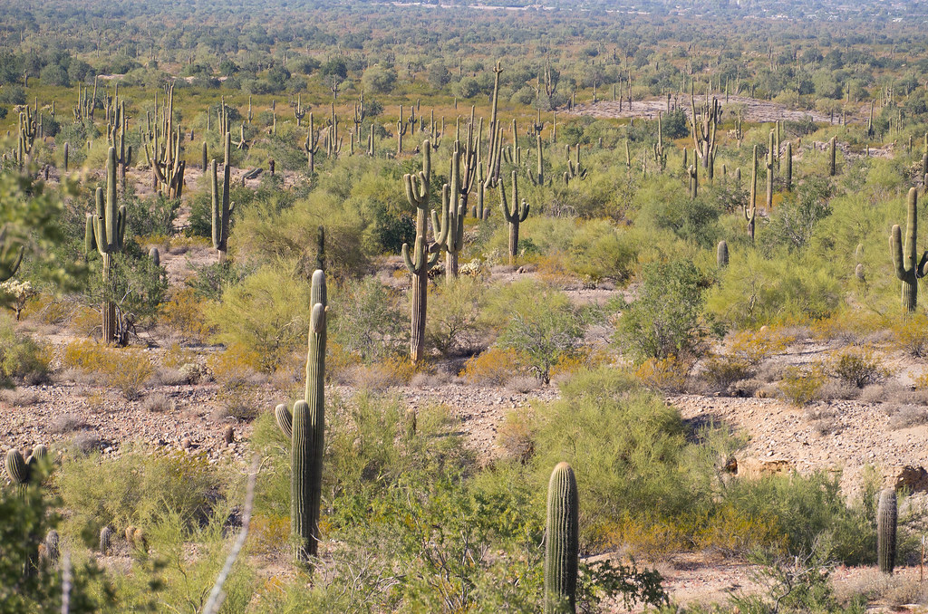 Hedgehog TrailHikingPhoto: _sffc, CC BY 2.0 (via Flickr)1.6 mi
- Malpais TrailHikingPhoto: _sffc, CC BY 2.0 (via Flickr)2.2 mi
- Rock Peak Wash TrailHiking2.6 mi
- Adora Trails Walking PathHiking6.6 mi
- Saddlebrook Walking PathHiking7 mi
Source: Roamze catalog (indexable pages within 10 miles, PostGIS distance)
- San Tan TrailHiking · Next doorPhoto: Kimaz2412, CC BY 2.0 (via Flickr)
- Stargazer TrailHiking · ~1 min drivePhoto: Kimaz2412, CC BY 2.0 (via Flickr)
 Jacob's CrosscutHiking · ~33 min drivePhoto: CWanamaker, CC BY 3.0 (via Wikimedia Commons)
- Malpais TrailHiking · ~4 min drivePhoto: _sffc, CC BY 2.0 (via Flickr)
- Hedgehog TrailHiking · ~3 min drivePhoto: _sffc, CC BY 2.0 (via Flickr)
 Lost Goldmine TrailHiking · ~34 min drivePhoto: lamblukas, CC BY 2.0 (via Flickr)
- Maricopa TrailHiking · ~22 min drive
- Palo Verde TrailHiking · ~29 min drivePhoto: CWanamaker, CC BY 3.0 (via Wikimedia Commons)
- Ellsworth Ranch TrailHiking · ~22 min drive
- Eastern Canal TrailHiking · ~22 min drive
Best time to visit Goldmine Trail
Best months: November–April. Best months have typical highs of 55–85 °F, lows of 30 °F or warmer (32 °F where the station doesn't record snow), at most one snowy day and no more than 12 wet days.
Jan
66° / 41°
Feb
70° / 43°
Mar
77° / 48°
Apr
85° / 53°
May
93° / 62°
Jun
103° / 71°
Jul
104° / 79°
Aug
103° / 77°
Sep
98° / 72°
Oct
87° / 59°
Nov
74° / 47°
Dec
64° / 39°
Typical high / low (°F) and days with rain or snow, 1991–2020. Measured at Chandler Heights, AZ, 3.7 mi away at 1,425 ft. This station doesn't record snowfall. Source: NOAA NCEI U.S. Climate Normals 1991–2020.

Map and trail data © OpenStreetMap contributors
