
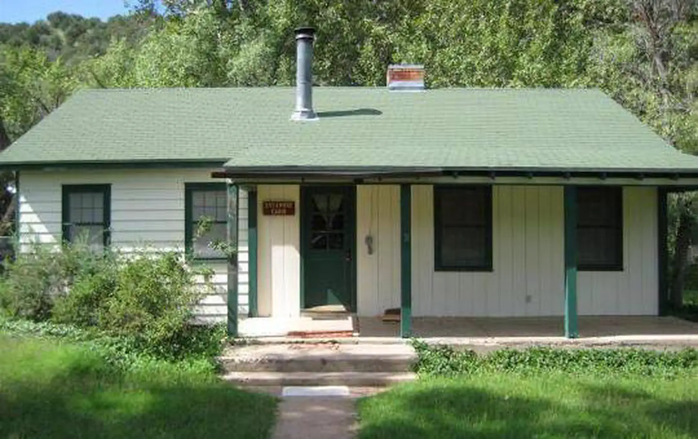

Black Canyon Campground
Hiking business nearby (~34 mi away) — hasn't claimed their Roamze page yet
Free — you'll pick up right here.
Watch this trail
Sign up to watch it — saving subscribes you to gate, closure and report changes.
Arizona
10.3 mi
Distance
1,760 ft
Gain
4h 19m
Time
We won't guess. Here is exactly what we do and don't know.
What we do know
Inside Tonto National Forest
3 managing-area boundaries mapped — agency alerts for them feed this page automatically.
Boundary data
What's missing
No access route mapped
We don't yet know which road reaches this trailhead, so we can't tell you if it's gated.
Nobody's filed a report here yet — be the first.
Why you'll love it
Deadman Mesa
AI-suggested draft · review before you go
No permit or access details on file for this trail — check with the local land manager before you go.
Deadman Mesa is a 10.3-mile out-and-back trail located in Arizona. The route gains 1,760 feet in elevation, offering a moderate challenge for hikers seeking a longer day hike with steady climbing. This trail takes you across desert terrain characteristic of the Arizona landscape. The out-and-back format means you'll retrace your steps on the return journey, allowing you to enjoy the same scenery from a different perspective and adjust your pace accordingly. The elevation gain is distributed across the trail, creating a gradual ascent toward the mesa. Hikers should come prepared for Arizona's desert conditions, including exposure to sun and limited shade depending on the specific terrain. Bring adequate water and sun protection, as these essentials are critical for safety on longer desert hikes. The trail is suitable for intermediate hikers with experience on longer routes. Plan for a full day outing given the mileage and elevation gain. The mesa destination provides views and a sense of accomplishment for completing the full distance.
Hackberry
~12 min drive
7.2 mi · Hard
Willow Springs
~13 min drive
3.1 mi · Moderate
Pine Mountain
~15 min drive
2.5 mi · Easy
Walnut Trail #251
~17 min drive
0.50-mile out-and-back trail in Arizona with 199 ft elevation gain.
Towel Creek
~12 min drive
16 mi · Hard
Wet Bottom
~15 min drive
5.1 mi · Moderate
Lower Cedar Bench
~16 min drive
A moderate 2.6-mile out-and-back trail in Arizona that links to Goat Springs Trail #542 and Chasm Creek Trail #164.
Arizona Trail
~21 min drive
A 4.20-mile out-and-back trail in Arizona that connects to Passage 42 of the larger trail system.
Verde Rim
~13 min drive
12 mi · Hard
Short Cut
~17 min drive
2.9 mi · Moderate
Local operatorsoffering guided trips. You book directly with them — Roamze doesn’t take a cut.
Black Canyon Campground
Hiking business nearby (~34 mi away) — hasn't claimed their Roamze page yet
Camp Avalon Spiritual Nature Retreat
Hiking business nearby (~35 mi away) — hasn't claimed their Roamze page yet
Rancho Sedona RV Park
Hiking business nearby (~37 mi away) — hasn't claimed their Roamze page yet