Black Canyon Trail Connector
- 0.9 mi
- loop
- 101 ft
- climb
- 2,079 ft
- high point
- Loop
- route
- Nov–Apr
- best months
The Black Canyon Trail Connector is an easy loop hike of about 0.9 miles on Bureau of Land Management land within the Hassayampa Field Office in Arizona. The route rises about 100 feet from a low point of 2,015 feet to a high of 2,079 feet, making it a short, low-elevation outing rather than a climb. Spring and fall are the most comfortable times to go. Typical averages from the Castle Hot Springs weather station, about 13 miles away and near the same elevation, show March highs around 77°F and November highs around 78°F, while June and July average in the low to mid 100s. The trail sits close to several other routes. The High Desert Trail (blue) lies about half a mile away, and the Black Canyon Trail mountain biking route is roughly 0.9 miles off. A little farther out, the Little Pan Loop is about 2.7 miles away and the Agua Fria River, a paddling route, is about 3.4 miles away.
Local outfitters
- Black Canyon Campground1 mi away
- Arizona Desert Mountain Jeep Tours31 mi away
Not on Roamze yet. Their page has how to reach them.
- High Desert Trail (blue)Hiking0.5 mi
- Black Canyon TrailMountain biking0.9 mi
- Little Pan LoopHiking2.7 mi
- Agua Fria RiverCanoeing3.4 mi
- Moores Gulch Trail MT-46Hiking5.4 mi
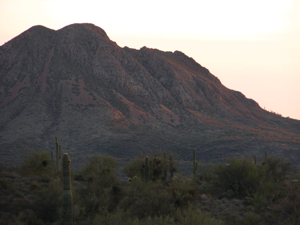 Old Fig Spring TrailHikingPhoto: Dave Hogg, CC BY 2.0 (via Flickr)8.1 mi
- Willow CreekMountain biking8.4 mi
- Black Canyon Trail AccessHiking8.7 mi
Source: Roamze catalog (indexable pages within 10 miles, PostGIS distance)
- Old Fig Spring TrailHiking · ~14 min drivePhoto: Dave Hogg, CC BY 2.0 (via Flickr)
 Wild Burro TrailHiking · ~25 min drivePhoto: Ken Lund from Reno, Nevada, USA, CC BY-SA 2.0 (via Wikimedia Commons)
- Castle CreekHiking · ~19 min drive
 Daisy Mountain TrailHiking · ~21 min drivePhoto: dougegood, CC BY 2.0 (via Wikimedia Commons)
- High Desert Trail (blue)Hiking · Next door
- New River Mesa Trail MT-17Hiking · ~19 min drive
 Badger Springs TrailHiking · ~22 min drivePhoto: Sharon Mollerus, CC BY 2.0 (via Flickr)
- High Desert Trail (blue)Hiking · Next door
- Twin PeaksHiking · ~20 min drive
- Yavapai Point TrailHiking · ~24 min drivePhoto: Ken Lund from Reno, Nevada, USA, CC BY-SA 2.0 (via Wikimedia Commons)
Best time to visit Black Canyon Trail Connector
Best months: November–April. Best months have typical highs of 55–85 °F, lows of 30 °F or warmer (32 °F where the station doesn't record snow), at most one snowy day and no more than 12 wet days.
Jan
69° / 43°
3 wet
Feb
71° / 45°
4 wet
Mar
77° / 49°
3 wet
Apr
84° / 54°
1 wet
May
93° / 61°
1 wet
Jun
102° / 70°
1 wet
Jul
105° / 77°
2 wet
Aug
104° / 77°
4 wet
Sep
99° / 71°
2 wet
Oct
89° / 60°
2 wet
Nov
78° / 50°
2 wet
Dec
68° / 43°
2 wet
Typical high / low (°F) and days with rain or snow, 1991–2020. Measured at Castle Hot Springs, AZ, 12.7 mi away at 1,990 ft. Source: NOAA NCEI U.S. Climate Normals 1991–2020.

