Moores Gulch Trail MT-46
- 3.1 mi
- round trip
- 1,260 ft
- climb
- 3,486 ft
- high point
- Out and back
- route
- Oct–May
- best months
Clear today
Weather is good · OpenWeather · checked just now
Moores Gulch Trail MT-46 is a 6.2-mile out-and-back hike in Tonto National Forest in Arizona, managed by the Forest Service. The route climbs about 1,260 feet, with a one-way gain of 684 feet, and reaches a high point of 3,486 feet. It is rated moderate, and the steepest stretch comes at about 2.5 miles in, where the grade reaches 18 percent. Spring and fall are the most comfortable times to go. Typical averages from the nearby Cordes weather station show April highs around 74°F and October highs near 79°F, while July averages reach 96°F. The trip takes about 2.5 hours. The High Desert Trail (blue) lies about 5 miles away, and the Black Canyon Trail Connector is about 5.4 miles off. Paddlers can reach the Agua Fria River, about 8.4 miles away.
Local outfitters
- Black Canyon Campground5 mi away
- Arizona Desert Mountain Jeep Tours27 mi away
Not on Roamze yet. Their page has how to reach them.
- High Desert Trail (blue)Hiking5.1 mi
- Black Canyon Trail ConnectorHiking5.4 mi
- Black Canyon TrailMountain biking6.3 mi
- New River Mesa Trail MT-17Hiking6.6 mi
- Little Pan LoopHiking6.6 mi
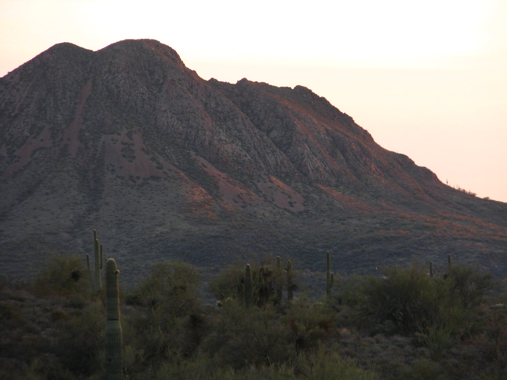 Old Fig Spring TrailHikingPhoto: Dave Hogg, CC BY 2.0 (via Flickr)6.7 mi
- Shoemaker Spring TrailHiking8.1 mi
- Agua Fria RiverCanoeing8.4 mi
Source: Roamze catalog (indexable pages within 10 miles, PostGIS distance)
- Old Fig Spring TrailHiking · ~11 min drivePhoto: Dave Hogg, CC BY 2.0 (via Flickr)
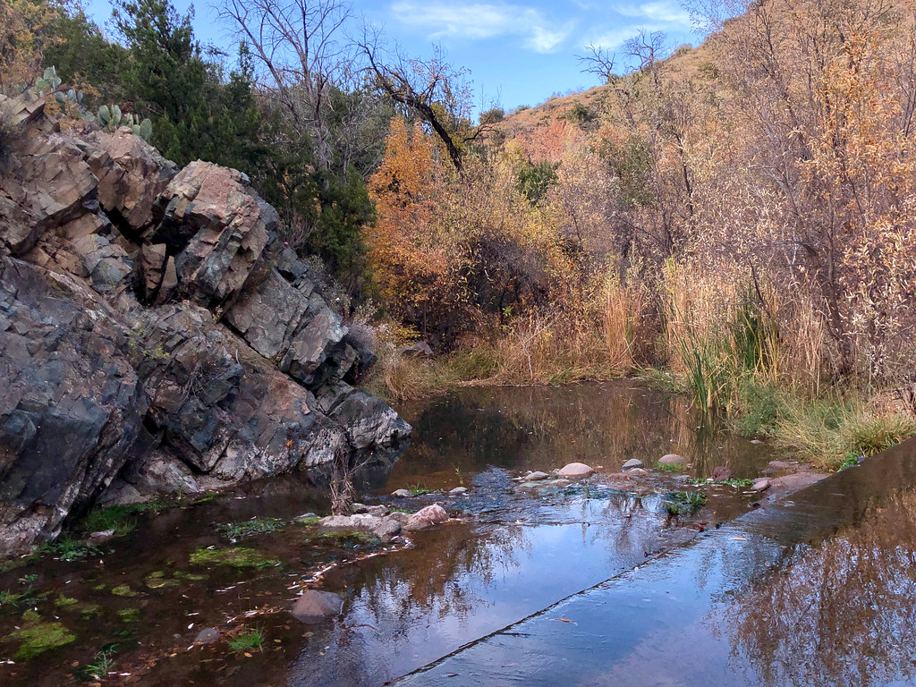 Cottonwood CreekHiking · ~21 min drivePhoto: Clay Gilliland, CC BY-SA 2.0 (via Flickr)
 Limestone Trail #252Hiking · ~18 min drivePhoto: Sean Foster, CC BY 3.0 (via Wikimedia Commons)
 Tortuga TrailHiking · ~19 min drivePhoto: Tanque Verde, CC BY 2.0 (via Flickr)
- New River Mesa Trail MT-17Hiking · ~11 min drive
- High Desert Trail (blue)Hiking · ~9 min drive
 Daisy Mountain TrailHiking · ~20 min drivePhoto: dougegood, CC BY 2.0 (via Wikimedia Commons)
- Skunk TankHiking · ~17 min drive
- High Desert Trail (blue)Hiking · ~9 min drive
 Metate TrailHiking · ~20 min drivePhoto: Tanque Verde, CC BY 2.0 (via Flickr)
Best time to visit Moores Gulch Trail MT-46
Best months: October–May. Best months have typical highs of 55–85 °F, lows of 30 °F or warmer (32 °F where the station doesn't record snow), at most one snowy day and no more than 12 wet days.
Jan
59° / 33°
5 wet
Feb
61° / 35°
5 wet
Mar
67° / 38°
5 wet
Apr
74° / 42°
2 wet
May
83° / 50°
2 wet
Jun
93° / 58°
2 wet
Jul
96° / 66°
6 wet
Aug
94° / 66°
7 wet
Sep
89° / 60°
4 wet
Oct
79° / 49°
3 wet
Nov
67° / 39°
3 wet
Dec
58° / 33°
4 wet
Typical high / low (°F) and days with rain or snow, 1991–2020. Measured at Cordes, AZ, 19.7 mi away at 3,771 ft. This station doesn't record snowfall. Source: NOAA NCEI U.S. Climate Normals 1991–2020.

Map and trail data © OpenStreetMap contributors
