
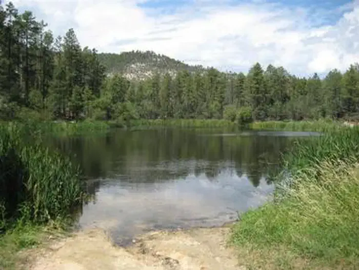
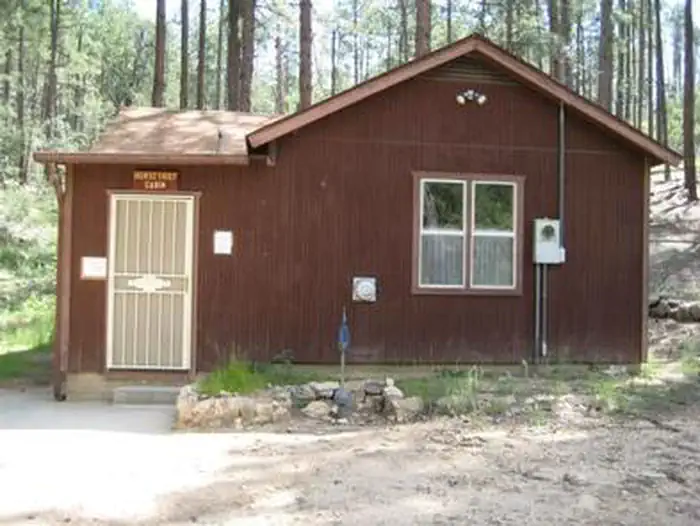

Black Canyon Campground
Hiking business nearby (~15 mi away) — hasn't claimed their Roamze page yet
Free — you'll pick up right here.
Watch this trail
Sign up to watch it — saving subscribes you to gate, closure and report changes.
Arizona
2.9 mi
Distance
275 ft
Gain
1h 7m
Time
No agency boundary, access route or field report is mapped to it — so there is no verdict, and we won't guess. We'll tell you the moment this trail has something to say.
Covered nearby
Trails within 25 miles where we do have a current picture.
Nobody's filed a report here yet — be the first.
Why you'll love it
Yavapai Point Trail
AI-suggested draft · review before you go
No permit or access details on file for this trail — check with the local land manager before you go.
The Yavapai Point Trail is a 2.9-mile out-and-back hike located in Arizona. This moderate trail features 275 feet of elevation gain, making it accessible for hikers of various skill levels. The route takes you to Yavapai Point, offering a scenic destination without requiring an extreme level of exertion. The out-and-back format means you'll retrace your steps on the return journey, with the total round-trip distance covering 5.8 miles. With modest elevation gain spread across the route, the trail provides a steady but manageable climb. This makes it suitable for those looking to get some exercise while enjoying Arizona's natural landscape. The point itself serves as a natural turning point and likely offers views or geological interest characteristic of Arizona's diverse terrain. Whether you're a casual hiker seeking a half-day outing or someone building endurance, Yavapai Point Trail delivers a straightforward hiking experience without technical difficulty.
Cottonwood
~1 min drive
2.2 mi · Easy
Black Canyon National Recreation Trail
~18 min drive
201-mile BLM trail through remote Arizona backcountry with gentle elevation gain.
Black Canyon Trail
~18 min drive
Remote 45.82-mile point-to-point canyon trek through Arizona's Black Canyon.
Little Pan Loop
~19 min drive
A moderate 5.11-mile out-and-back trail in Arizona connected to the Black Canyon Trail system.
Pipeline Canyon Trail
~2 min drive
4.0 mi · Easy
Maricopa Trail
~26 min drive
A 670-mile out-and-back trail in Arizona with moderate difficulty, integrated into the Arizona Trail system for extended backcountry exploration.
9986A
~19 min drive
A short out-and-back desert hike in Arizona covering 2.79 miles.
Quail Springs Trail
~25 min drive
5.1 mi · Moderate
Black Canyon Trail Connector
~24 min drive
0.9 mi · Easy
Willow Creek
~31 min drive
6.9 mi · Hard
Local operatorsoffering guided trips. You book directly with them — Roamze doesn’t take a cut.
Black Canyon Campground
Hiking business nearby (~15 mi away) — hasn't claimed their Roamze page yet
Arizona Desert Mountain Jeep Tours
Hiking business nearby (~35 mi away) — hasn't claimed their Roamze page yet
Saddle Mountain RV Park
Hiking business nearby (~45 mi away) — hasn't claimed their Roamze page yet