Arizona National Scenic Trail
 Photo: Stephen Edmonds, CC BY-SA 3.0 (via Wikimedia Commons)
- 1.6 mi
- round trip
- 259 ft
- climb
- 7,153 ft
- high point
- Out and back
- route
- Apr–Oct
- best months
Is Arizona National Scenic Trail open right now?
Closure in the area
There's a closure order in Grand Canyon National Park. It doesn't name Arizona National Scenic Trail, so check the source for the area it covers.
INNER CANYON TRAIL CLOSURES
Park closure covering Grand Canyon National Park · NPS · Grand Canyon National Park
Overnight Lodging Suspended and Parkwide Stage 4 Water Restrictions
Park alert covering Grand Canyon National Park · NPS · Grand Canyon National Park
INNER CANYON WATER SHUTOFFS
Park alert covering Grand Canyon National Park · NPS · Grand Canyon National Park
Critical Backcountry Updates/Closures
Park alert covering Grand Canyon National Park · NPS · Grand Canyon National Park
As of · Source: NPS · Grand Canyon National Park. Agencies don't list every closure — check before you go.
The Arizona National Scenic Trail is a short, easy hike in Grand Canyon National Park, managed by the National Park Service. The route is about 1.6 miles long and rises about 37 feet, making it a gentle out-and-back that starts and ends at roughly 7,150 feet. The trail is a back-loaded climb, with the steepest stretch at about 1.5 miles in. The total gain and loss over the round trip are each about 259 feet, so the hike is easy to fit into a longer day on the park's rim. For comfortable weather, aim for late spring or early fall. Typical averages from a nearby weather station show May highs around 68°F and September highs around 75°F, with lows in the 40s and 50s. Pipe Creek Vista sits just 0.1 mile away, and the Rim Trail is about 0.7 mile off. Climbers can head to the Buttes, about 1.8 miles away, and El Tovar Hotel offers lake fishing about 2.6 miles from the trail.
Local outfitters
- Buck Wild Hummer Tours5 mi away
- Wander Camp21 mi away
Not on Roamze yet. Their page has how to reach them.
- Pipe Creek VistaHikingPhoto: Stephen Edmonds, CC BY-SA 3.0 (via Wikimedia Commons)0.1 mi
- Rim TrailHiking0.7 mi
- ButtesRock climbing1.8 mi
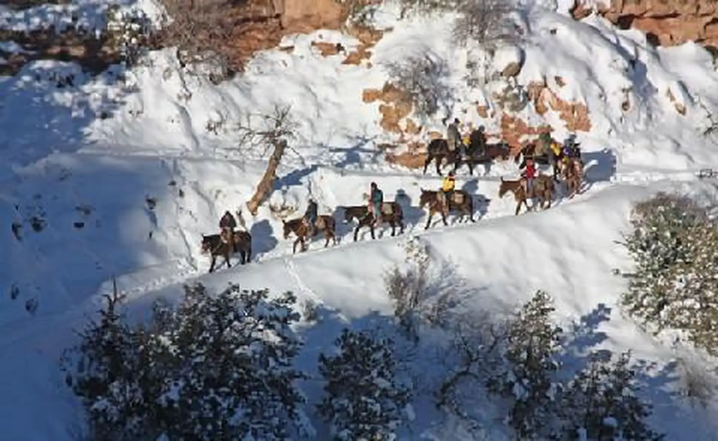 El Tovar HotelLake fishing2.6 mi
 Wailing WallRock climbingPhoto: Hermann Luyken, CC0 (via Wikimedia Commons)3.1 mi
- Tusayan Ranger DistrictRiver fishing4.3 mi
- Tusayan - MontaneCamping7.7 mi
- Hull CabinCamping9.9 mi
Source: Roamze catalog (indexable pages within 10 miles, PostGIS distance)
- Pipe Creek VistaHiking · Next doorPhoto: Stephen Edmonds, CC BY-SA 3.0 (via Wikimedia Commons)
 Headquarters to Geology Museum TrailHiking · ~3 min drivePhoto: Grand Canyon Conservancy, Public Domain Mark (via Flickr)
 Bright Angel TrailHiking · ~5 min drivePhoto: Nate Loper • #ArizonaGuide ️, CC BY 2.0 (via Flickr)
- Long Jim TrailHiking · ~3 min drive
- South Kaibab TrailHiking · ~1 min drive
 Shoshone Point TrailHiking · ~3 min drivePhoto: Grand Canyon NPS, CC BY 2.0 (via Flickr)
- Rim TrailHiking · ~1 min drive
- Rim Trail - Mather PointHiking · ~2 min drive
 Havasupai Gardens TrailsHiking · ~5 min drivePhoto: Grand Canyon Conservancy, Public Domain Mark (via Flickr)
 Grandeur PointHiking · ~3 min drivePhoto: Hermann Luyken, CC0 (via Wikimedia Commons)
Also worth it near here
Best time to visit Arizona National Scenic Trail
Best months: April–October. Best months have typical highs of 55–85 °F, lows of 30 °F or warmer (32 °F where the station doesn't record snow), at most one snowy day and no more than 12 wet days.
Jan
42° / 26°
Feb
44° / 27°
Mar
52° / 31°
Apr
59° / 36°
May
68° / 44°
Jun
80° / 55°
Jul
84° / 59°
Aug
81° / 58°
Sep
75° / 53°
Oct
63° / 41°
Nov
51° / 33°
Dec
43° / 24°
Typical high / low (°F) and days with rain or snow, 1991–2020. Measured at Grand Canyon Visitor Ctr, AZ, 1.3 mi away at 7,083 ft. This station doesn't record snowfall. Source: NOAA NCEI U.S. Climate Normals 1991–2020.

Map and trail data © OpenStreetMap contributors
