Wade Mountain Greenway Trail
- 0.3 mi
- round trip
- 189 ft
- climb
- 1,034 ft
- high point
- Out and back
- route
- Feb–May, Oct–Dec
- best months
Wade Mountain Greenway Trail is a short out-and-back hike in northern Alabama, about a mile from the town of Cedar Valley. The trail is 0.6 miles long, with a total elevation gain of 189 feet, and it reaches a high point of 1,034 feet. The climb is front-loaded, with the steepest stretch at about 0.2 miles in, where the grade reaches 17 percent. Spring and fall are the most comfortable times to go. Typical averages from a nearby weather station in Huntsville show October highs around 76°F with lows near 52°F, and April is similar at about 75°F by day and 51°F at night. That station sits roughly 400 feet lower than the trail's high point, so temperatures on the higher ground run a little cooler. The hike takes about half an hour. Wade Mountain Trail and the Wade Mountain Nature Reserve National Recreation Trails both lie about 0.4 miles away, and the Wade Mountain Greenway is about 0.8 miles off. Paddlers can find the Brier Fork Flint River about 6.7 miles away.
- Wade Mountain TrailHiking0.4 mi
- Wade Mountain Nature Reserve National Recreation TrailsHiking0.4 mi
- Wade Mountain GreenwayHiking0.8 mi
- Fossil Bench TrailHiking0.9 mi
- Brier Fork Flint RiverCanoeing6.7 mi
- Indian CreekCanoeing7.7 mi
- Rainbow MountainRock climbing8 mi
- Arrowhead TrailRock climbing8.3 mi
Source: Roamze catalog (indexable pages within 10 miles, PostGIS distance)
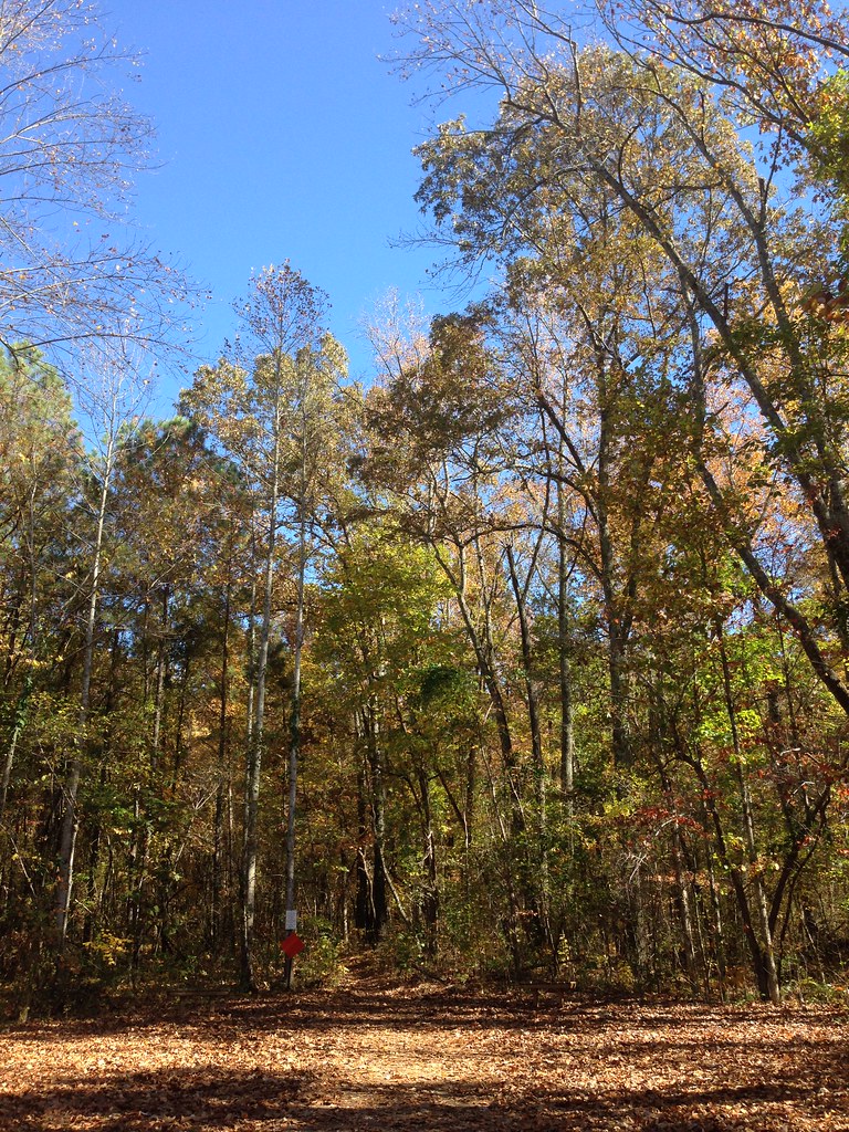 Bostick TrailHiking · ~2 min drivePhoto: ShanMcG213, CC BY-SA 2.0 (via Flickr)
 Tollgate TrailHiking · ~11 min drivePhoto: dmtilley, CC BY 3.0 (via Wikimedia Commons)
 Dummy Line TrailHiking · ~12 min drivePhoto: dmtilley, CC BY 3.0 (via Wikimedia Commons)
- Wade Mountain Nature Reserve National Recreation TrailsHiking · Next door
- The PortalHiking · ~13 min drivePhoto: dmtilley, CC BY 3.0 (via Wikimedia Commons)
- Bankhead TrailHiking · ~12 min drivePhoto: dmtilley, CC BY 3.0 (via Wikimedia Commons)
- High TrailHiking · ~13 min drivePhoto: dmtilley, CC BY 3.0 (via Wikimedia Commons)
 Stone Cuts TrailHiking · ~14 min drivePhoto: bionicteaching, CC BY-SA 2.0 (via Flickr)
- Flourish TrailHiking · ~13 min drivePhoto: dmtilley, CC BY 3.0 (via Wikimedia Commons)
- Wade Mountain TrailHiking · Next door
Best time to visit Wade Mountain Greenway Trail
Best months: February–May and October–December. Best months have typical highs of 55–85 °F, lows of 30 °F or warmer (32 °F where the station doesn't record snow), at most one snowy day and no more than 12 wet days.
Jan
52° / 33°
11 wet
Feb
57° / 36°
11 wet
Mar
65° / 43°
11 wet
Apr
75° / 51°
10 wet
May
83° / 60°
10 wet
Jun
89° / 68°
10 wet
Jul
92° / 71°
10 wet
Aug
91° / 70°
9 wet
Sep
86° / 63°
7 wet
Oct
76° / 52°
8 wet
Nov
64° / 41°
9 wet
Dec
55° / 36°
11 wet
Typical high / low (°F) and days with rain or snow, 1991–2020. Measured at Huntsville Intl Ap, AL, 14.8 mi away at 624 ft. This station doesn't record snowfall. Source: NOAA NCEI U.S. Climate Normals 1991–2020.
Map and trail data © OpenStreetMap contributors
