Wade Mountain
- 1,490 ft
- summit
- 2
- ways up
- Feb–May, Oct–Dec
- best months
Wade Mountain is a summit in Alabama, rising to 1,490 feet about 4.5 miles from the town of Meridianville. The Wade Mountain Trail and the Wade Mountain Nature Reserve National Recreation Trails both start within a third of a mile, so the mountain sits at the center of a cluster of hiking routes. Spring and fall are the most comfortable times to visit. Typical averages from a nearby weather station in Huntsville show October highs around 76°F with lows near 52°F, and April is similar at about 75°F by day and 51°F at night. That station sits roughly 866 feet lower than the summit, so temperatures on top run cooler. Other trails close by include the Fossil Bench Trail and the Bostick Trail, each about half a mile away. Paddlers can reach the Brier Fork Flint River about 6.5 miles off, and climbers will find the Arrowhead Trail about 7.9 miles away.
Conditions and forecast
Daily highs and lows, wind and the chance of precipitation at the summit and route start for the next 7 days, from the Open-Meteo model.
- Summit elevation
- 1,490 ft
Elevation from USGS 3D Elevation Program terrain data (about 10 m resolution).
- Wade Mountain TrailModerateabout 1,090 ft of climbing3.8 mi round trip
- Wade Mountain Nature Reserve National Recreation TrailsHardabout 672 ft of climbing11.7 mi
Compare the routes Wade Mountain Trail Wade Mountain Nature Reserve National Recreation Trails Climbing About 1,090 ft About 672 ft Round trip 3.8 mi 11.7 mi Difficulty Moderate Hard Terrain Hike Hike Map © Mapbox © OpenStreetMap contributors Questions about Wade Mountain
How tall is Wade Mountain?
1,490 ft (454 m).
How many routes go to the summit of Wade Mountain?
2: Wade Mountain Trail and Wade Mountain Nature Reserve National Recreation Trails.
What is the shortest route up Wade Mountain?
Wade Mountain Trail, about 3.8 mi round trip.
- Devils Race Track1,041 ft · Alabama2 routes1.2 mi away
- Logan Point1,587 ft · Alabama4 routes7.6 mi away
- Monte Sano Mountain1,654 ft · Alabama3 routes8.1 mi away
- Taylor Mountain1,133 ft · Alabama1 route37 mi away
- Graveyard Hill983 ft · Alabama1 route38 mi away
- Otey View1,897 ft · Tennessee1 route47 mi away
- Wade Mountain TrailHiking0.3 mi
- Wade Mountain Nature Reserve National Recreation TrailsHiking0.3 mi
- Fossil Bench TrailHiking0.5 mi
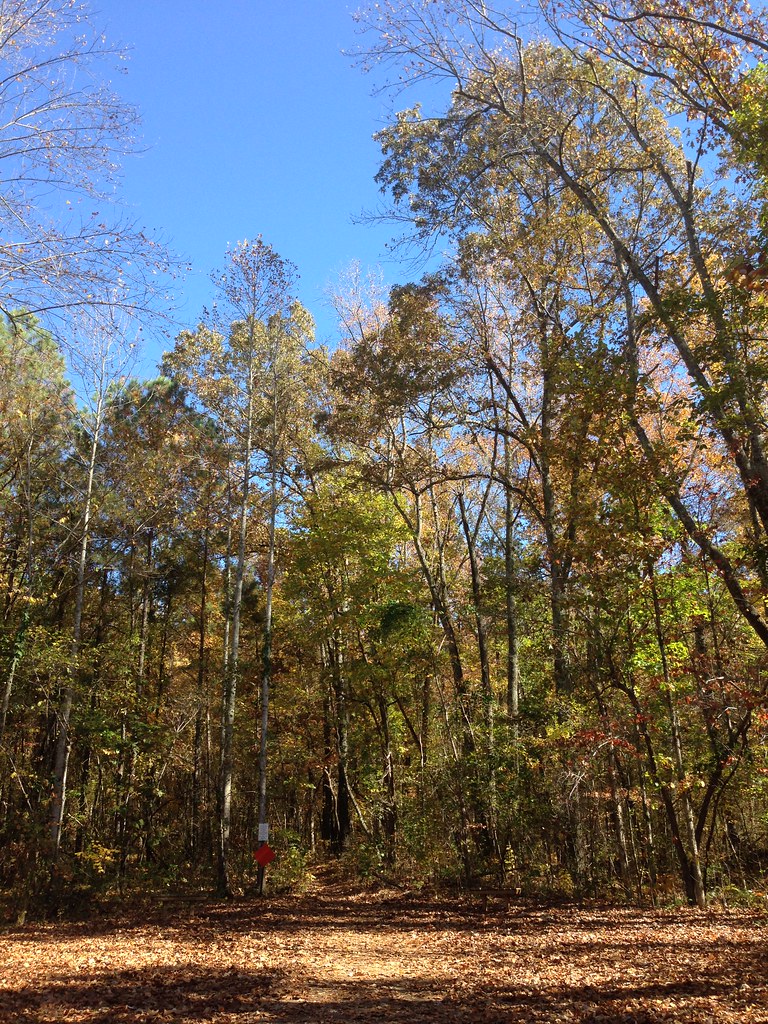 Bostick TrailHikingPhoto: ShanMcG213, CC BY-SA 2.0 (via Flickr)0.5 mi
- Brier Fork Flint RiverCanoeing6.5 mi
- Arrowhead TrailRock climbing7.9 mi
- Indian CreekCanoeing8.2 mi
- Rainbow MountainRock climbing8.5 mi
Source: Roamze catalog (indexable pages within 10 miles, PostGIS distance)
Best time to visit Wade Mountain
Best months: February–May and October–December. Best months have typical highs of 55–85 °F, lows of 30 °F or warmer (32 °F where the station doesn't record snow), at most one snowy day and no more than 12 wet days.
Jan
52° / 33°
11 wet
Feb
57° / 36°
11 wet
Mar
65° / 43°
11 wet
Apr
75° / 51°
10 wet
May
83° / 60°
10 wet
Jun
89° / 68°
10 wet
Jul
92° / 71°
10 wet
Aug
91° / 70°
9 wet
Sep
86° / 63°
7 wet
Oct
76° / 52°
8 wet
Nov
64° / 41°
9 wet
Dec
55° / 36°
11 wet
Typical high / low (°F) and days with rain or snow, 1991–2020. Measured at Huntsville Intl Ap, AL, 15.3 mi away at 624 ft. The station sits about 900 ft lower than this place, so expect it a little cooler here. This station doesn't record snowfall. Source: NOAA NCEI U.S. Climate Normals 1991–2020.

