


Indian Springs Montana
Hiking business nearby (~43 mi away) — hasn't claimed their Roamze page yet
Remote alpine point-to-point on the Great Divide Trail in BC's backcountry.
The GDT EWM (Great Divide Trail - East Weir to Mount Robson section) is a challenging point-to-point alpine traverse in British Columbia that showcases the rugged beauty of the Canadian Rockies. This remote backcountry route traverses high elevation terrain with expansive mountain vistas, alpine meadows, and pristine wilderness. The trail demands strong navigation skills and wilderness experience, making it a premier destination for experienced backpackers seeking solitude in one of BC's most spectacular regions.
Roamze builds the days around this trail: where to sleep, where to eat after, what to do if it rains. You change anything.
 Photo: lamblukas from San Francisco, United States, CC BY 2.0 (via Wikimedia Commons)
Hole in the Wall Campground Trail
~22 min drive
1.26-mile out-and-back hike in Montana with 472 ft gain and 6,636 ft max elevation.
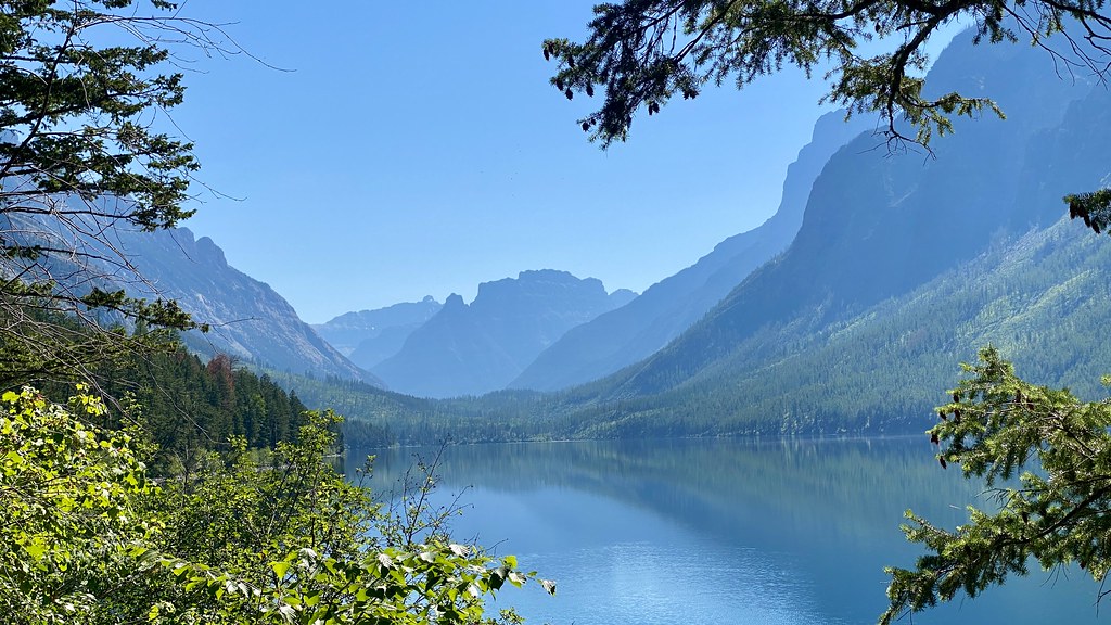 Photo: lamblukas, CC BY 2.0 (via Flickr)
Kintla Trail
~23 min drive
11.09-mile out-and-back trail in Montana with 517 ft elevation gain.
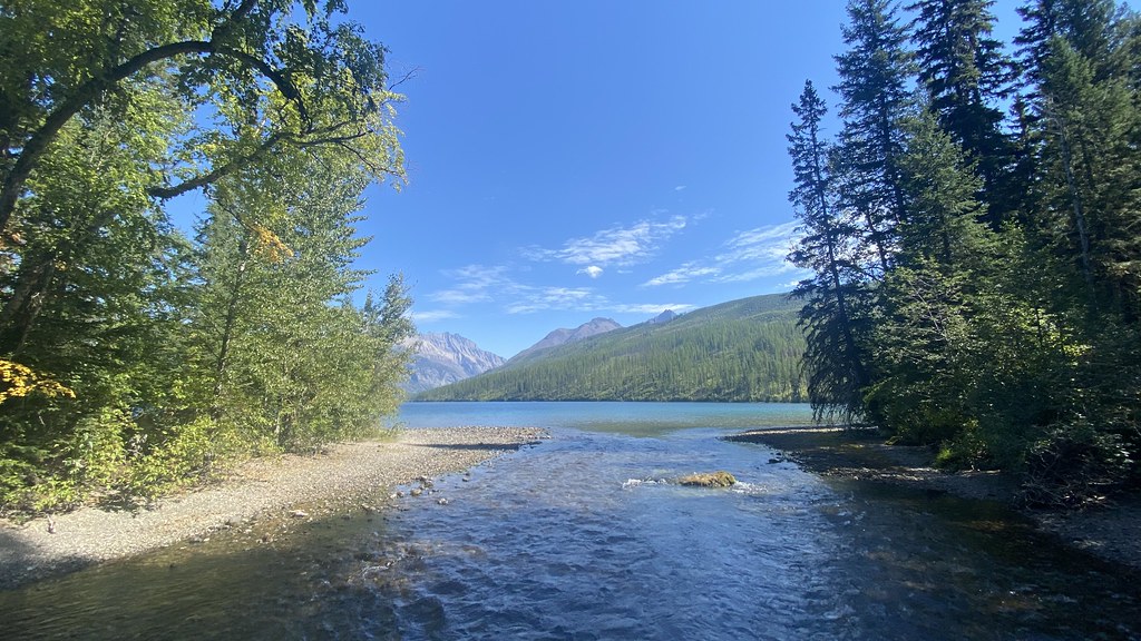 Photo: lamblukas, CC BY 2.0 (via Flickr)
Boulder Pass Trail
~28 min drive
59.14-mile out-and-back trail in Montana with 3,220 ft elevation gain.
 Photo: -ted, CC BY 2.0 (via Wikimedia Commons)
Porcupine Lookout Trail
~34 min drive
10.02-mile out-and-back hike in Montana with 4,516 ft elevation gain/loss.
Numa Lookout Trailhead
~37 min drive
This trail takes you to one of the (seasonally) staffed fire lookouts in the park. It starts on the shore of Bowman Lake, with the first half remaining relatively flat before gaining elevation. Numa Lookout Distance: 5.7 mi (9.2 km), one way Elevation gain: 3,396 ft (1035 m)…
 Photo: lamblukas, CC BY 2.0 (via Flickr)
Bowman Lake Trail
~24 min drive
26.53-mile out-and-back trail in Montana with 11 ft of elevation gain.
 Photo: Greg Willis from Denver, CO, usa, CC BY-SA 2.0 (via Wikimedia Commons)
North Boundary Trail
~26 min drive
10.64-mile out-and-back trail in Montana with 856 ft gain.
 Photo: daveynin, CC BY 2.0 (via Wikimedia Commons)
Crypt Lake Trail
~29 min drive
A 6.2-mile lollipop loop in Alberta, Canada.
 Photo: lamblukas, CC BY 2.0 (via Flickr)
Quartz Lake Loop
~37 min drive
24.94-mile out-and-back out-and-back in Montana with 5,855 ft elevation gain
Rainbow Falls Trailhead
~30 min drive
This is a popular and short hike that passes by a natural mineral lick where deer are often seen. Rainbow Falls Distance: 1.0 mi (1.6 km), one way Elevation gain: 172 ft (52 m) Elevation loss: 108 ft (33 m) Trailhead: Goat Haunt Ranger Station While in Glacier National Park…
Also worth it near here
Daily highs and lows, wind and the chance of precipitation at Gdt Ewm for the next 7 days, from the Open-Meteo model.
Map and trail data © OpenStreetMap contributors
Outfitters and businesses. They haven’t set up their Roamze page yet.
Indian Springs Montana
Hiking business nearby (~43 mi away) — hasn't claimed their Roamze page yet
North American RV Park & Yurt Village
Hiking business nearby (~49 mi away) — hasn't claimed their Roamze page yet
