


North American RV Park & Yurt Village
Hiking business nearby (~40 mi away) — hasn't claimed their Roamze page yet
A 6.2-mile lollipop loop in Alberta, Canada.
 Photo: daveynin, CC BY 2.0 (via Wikimedia Commons)
Best months: May–September. Best months have typical highs of 55–85 °F, lows of 30 °F or warmer (32 °F where the station doesn't record snow), at most one snowy day and no more than 12 wet days.
Jan
30° / 13°
Feb
30° / 13°
Mar
37° / 19°
Apr
46° / 27°
May
56° / 34°
Jun
64° / 41°
Jul
74° / 46°
Aug
74° / 44°
Sep
63° / 38°
Oct
50° / 29°
Nov
36° / 22°
Dec
29° / 15°
Typical high / low (°F) and days with rain or snow, 1991–2020. Measured at E Glacier, MT, 47.7 mi away at 4,806 ft. The station sits about 1,600 ft lower than this place, so expect it a little cooler here. This station doesn't record snowfall. Source: NOAA NCEI U.S. Climate Normals 1991–2020.
Crypt Lake Trail is a 6.2-mile lollipop loop in Alberta, Canada, inside Waterton Lakes National Park. It runs between about 4,190 ft and 6,420 ft above sea level, with roughly 980 ft of climbing over the route. It is demanding mountain hiking, with rocky or exposed stretches where you need sure footing. Most of the way is dirt. The nearest town is Hill Spring, about 22 miles southwest of the trailhead. Peaks within about 3 miles include Vimy Ridge, Mount Boswell and Vimy Peak. For camping, Townsite Campground and Bertha Lake Camp are within about 6 miles. Distances, elevations and the route shape here come from OpenStreetMap and the Copernicus 90 m elevation model. Trails, access rules and conditions change, so check locally before you go.
Roamze builds the days around this trail: where to sleep, where to eat after, what to do if it rains. You change anything.
 Photo: Greg Willis from Denver, CO, usa, CC BY-SA 2.0 (via Wikimedia Commons)
North Boundary Trail
~5 min drive
10.64-mile out-and-back trail in Montana with 856 ft gain.
Photo: Greg Willis from Denver, CO, usa, CC BY-SA 2.0 (via Wikimedia Commons)Rainbow Falls Trail
~8 min drive
0.8-mile out-and-back hike to Rainbow Falls in Montana with 139 ft of elevation gain.
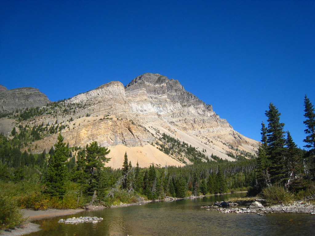 Photo: cm195902, CC BY 2.0 (via Flickr)
Bear Mountain Lookout Trail
~11 min drive
4.0-mile out-and-back hike in Montana with 2,556 ft elevation gain and loss.
 Photo: -ted, CC BY 2.0 (via Wikimedia Commons)
Porcupine Lookout Trail
~12 min drive
10.02-mile out-and-back hike in Montana with 4,516 ft elevation gain/loss.
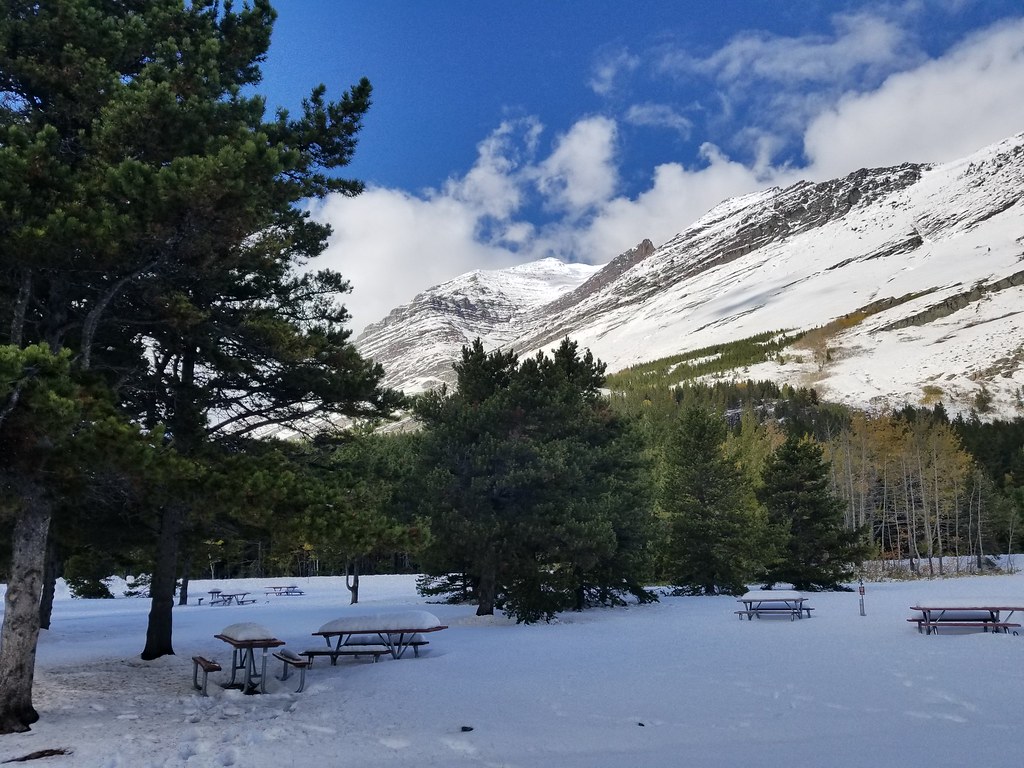 Photo: astrophotography_andy, CC BY 2.0 (via Flickr)
Iceberg Lake Trailhead
~27 min drive
This popular trail reveals a turquoise lake known for its ice floes. Iceberg Lake Distance: 4.8 mi (7.7 km), one way Elevation gain: 1,765 ft (538 m) Elevation loss: 624 ft (190 m) Trailhead: Iceberg-Ptarmigan Trailhead, behind the Swiftcurrent Motor Inn While in Glacier Na…
Photo: Greg Willis from Denver, CO, usa, CC BY-SA 2.0 (via Wikimedia Commons)Goat Haunt Overlook Trail
~7 min drive
1.8-mile out-and-back hike in Montana with 901 ft gain and 5,106 ft max elevation.
 Photo: cm195902, CC BY 2.0 (via Flickr)
Belly River Trail
~13 min drive
0.62-mile out-and-back trail in Montana with 208 ft of elevation gain.
Photo: cm195902, CC BY 2.0 (via Flickr)North Fork Belly River Trail
~13 min drive
12.72-mile out-and-back trail in Montana with 3,532 ft gain/loss.
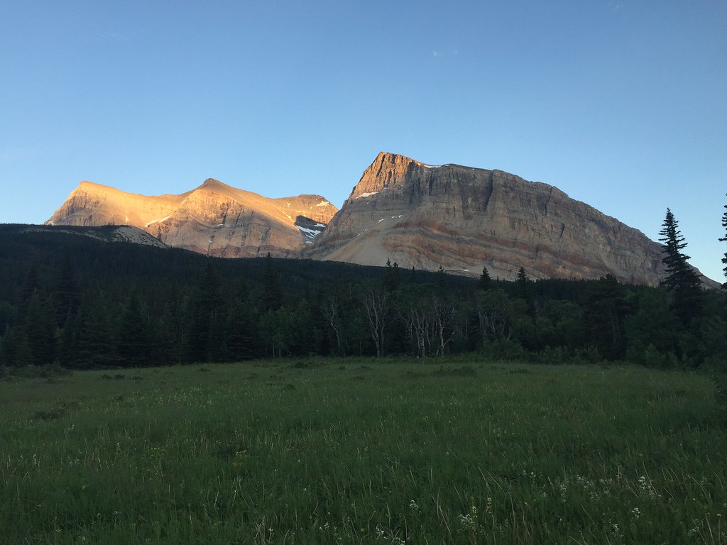 Photo: yancy9, CC BY 2.0 (via Flickr)
Gable Pass Trail
~13 min drive
11.24-mile out-and-back trail in Montana with 4,583 ft gain/loss.
Photo: astrophotography_andy, CC BY 2.0 (via Flickr)Redrock Falls Trail
~27 min drive
This relatively flat hike takes you to the serene Redrock Falls along the Swiftcurrent Pass Trail. Keep an eye out for moose -- they're sometimes spotted in this area. Redrock Falls Distance: 1.9 mi (3.1 km), one way Elevation gained: 267 ft (81 m) Elevation lost: 105 ft (32…
Daily highs and lows, wind and the chance of precipitation at Crypt Lake Trail for the next 7 days, from the Open-Meteo model.
Map and trail data © OpenStreetMap contributors
Outfitters and businesses. They haven’t set up their Roamze page yet.
North American RV Park & Yurt Village
Hiking business nearby (~40 mi away) — hasn't claimed their Roamze page yet
