Kintla Peak
 Photo: UnknownUnknown / Glacier National Park, Public domain (via Wikimedia Commons)
- 10,091 ft
- summit
Is Kintla Peak open right now?
Closure in the area
There's a closure order in Glacier National Park. It doesn't name Kintla Peak, so check the source for the area it covers.
Going-to-the-Sun Road Seasonal Closure
Park closure covering Glacier National Park · NPS · Glacier National Park
As of · Source: NPS · Glacier National Park. Agencies don't list every closure — check before you go.
Kintla Peak is a summit of about 10,091 feet in Flathead County, Montana, inside Glacier National Park. The nearest town is Polebridge, about 14 miles away. Several trails lie within a short drive. Hole in the Wall Campground Trail is about 5 miles away, and Bowman Lake Trail is about 6 miles off. Kintla Trail is about 6 miles away, and Kintla Lake Campground is about 9 miles away.
Conditions and forecast
Daily highs and lows, wind and the chance of precipitation at the summit for the next 7 days, from the Open-Meteo model.
- Summit elevation
- 10,091 ft
Elevation from USGS 3D Elevation Program terrain data (about 10 m resolution).
We don't know of a mapped trail or route to the summit of Kintla Peak. Plan the approach with local maps, a guidebook or a local guide, and check conditions before you go.
Questions about Kintla Peak
How tall is Kintla Peak?
10,091 ft (3,076 m).
Is there a trail to the top of Kintla Peak?
We don't know of a mapped trail or route to the summit. Plan the approach with local maps, a guidebook or a local guide.
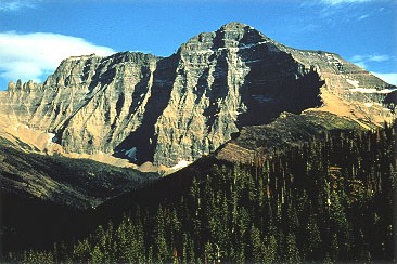 Mount Cleveland10,464 ft · Montana1 route15 mi awayPhoto: CC BY-SA 3.0 (via Wikimedia Commons)
- Hornet Mountain6,744 ft · Montana1 route16 mi away
- Cyclone Peak6,036 ft · Montana1 route17 mi away
- Cleft Rock Mountain7,296 ft · Montana1 route17 mi away
- Swiftcurrent Mountain8,438 ft · Montana1 route21 mi away
- Glacier View Mountain6,116 ft · Montana1 route22 mi away
 Hole in the Wall Campground TrailHikingPhoto: lamblukas from San Francisco, United States, CC BY 2.0 (via Wikimedia Commons)5.3 mi
- Bowman CreekCanoeing5.4 mi
 Bowman Lake TrailHikingPhoto: lamblukas, CC BY 2.0 (via Flickr)6.2 mi
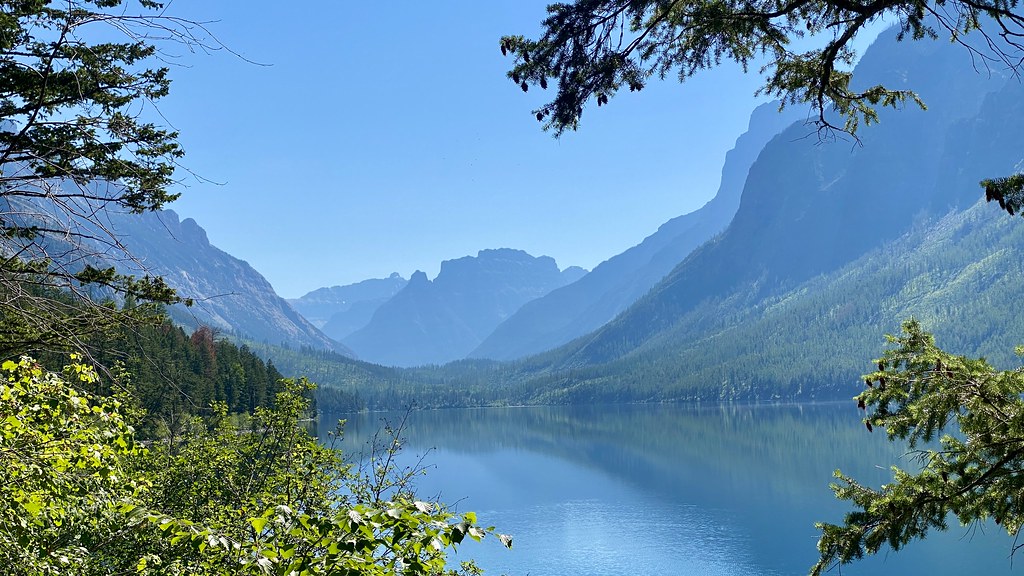 Kintla TrailHikingPhoto: lamblukas, CC BY 2.0 (via Flickr)6.3 mi
- Akokala Creek TrailHiking6.5 mi
 Numa Ridge Lookout TrailHikingPhoto: Mobilus In Mobili, CC BY-SA 2.0 (via Flickr)7.4 mi
- Bowman Lake CampgroundCamping8.1 mi
- Kintla Lake CampgroundCamping8.7 mi
Source: Roamze catalog (indexable pages within 10 miles, PostGIS distance)
 Chapman PeakSummit · ~12 min drivePhoto: Traveler100, CC BY-SA 3.0 (via Wikimedia Commons)
 Olson MountainSummit · ~18 min drivePhoto: AlbertHerring GlacierNPS, CC BY 2.5 (via Wikimedia Commons)
- Mount ClevelandSummit · ~25 min drivePhoto: CC BY-SA 3.0 (via Wikimedia Commons)
 Stanton MountainSummit · ~40 min drivePhoto: GlacierNPS, Public domain (via Wikimedia Commons)
 Angel WingSummit · ~42 min drivePhoto: Jeff P from Berkeley, CA, USA, CC BY 2.0 (via Wikimedia Commons)
 Haystack ButteSummit · ~42 min drivePhoto: oliver.dodd, CC BY 2.0 (via Wikimedia Commons)
- Cyclone PeakSummit · ~28 min drive
- Cleft Rock MountainSummit · ~28 min drive
- Sunkist MountainSummit · ~29 min drive
- La Coulotte RidgeSummit · ~30 min drive
