Winnemucca Mountain
At a glance
Winnemucca Mountain is a summit in Nevada, 6,756 feet elevation. It is reached by the Pole Line Trail, a public trail passing within 150 meters of the summit.
- summit
- 6,756 ft
- ways up
- 2
Near: Winnemucca · 3.9 mi
Loading this week's forecast
Been here? Tell people how it was.
- Pole Line TrailModerateabout 1,711 ft of climbing1.6 mi round trip
- Upper Mountain TrailHardabout 4,461 ft of climbing7.1 mi round trip
Compare the routes Pole Line Trail Upper Mountain Trail Climbing About 1,711 ft About 4,461 ft Round trip 1.6 mi 7.1 mi Difficulty Moderate Hard Terrain Hike Hike Map © Mapbox © OpenStreetMap contributors - Upper Mountain TrailHiking0.1 mi
 Pole Line TrailHikingPhoto: Matt Lavin, CC BY-SA 2.0 (via Flickr)0.8 mi
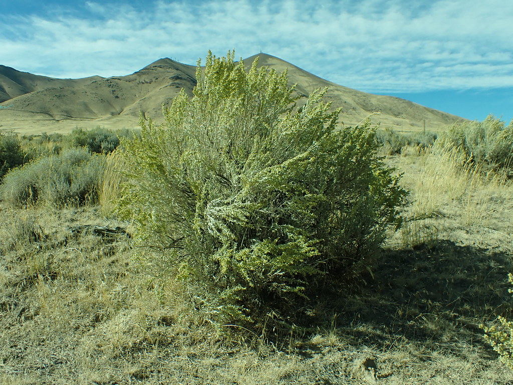 Lower LoopHikingPhoto: Matt Lavin, CC BY-SA 2.0 (via Flickr)1.1 mi
 Secret TrailHikingPhoto: Doug Letterman, CC BY 2.0 (via Flickr)5.1 mi
 Ditch TrailHikingPhoto: Ken Lund, CC BY-SA 2.0 (via Flickr)5.2 mi
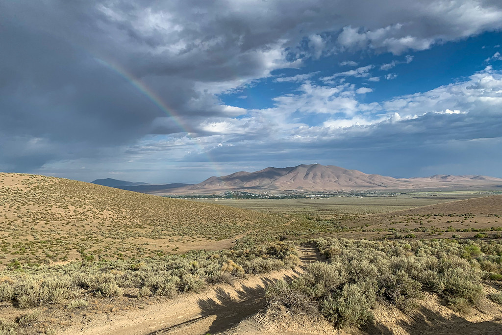 Water Canyon-Bloody Shins ConnectorHikingPhoto: Doug Letterman, CC BY 2.0 (via Flickr)7 mi
 Nature TrailHikingPhoto: Ken Lund, CC BY-SA 2.0 (via Flickr)7.5 mi
- Pioneer SloughCanoeing8.5 mi
Conditions and forecast
Daily highs and lows, wind and the chance of precipitation at the summit and route start for the next 7 days, from the Open-Meteo model.
Questions about Winnemucca Mountain
How tall is Winnemucca Mountain?
6,756 ft (2,059 m).
How many routes go to the summit of Winnemucca Mountain?
2: Pole Line Trail and Upper Mountain Trail.
What is the shortest route up Winnemucca Mountain?
Pole Line Trail, about 1.6 mi round trip.


Ask about this place
Questions about Winnemucca Mountain: conditions, access, timing. Answers say when something isn't known.
