Mountain · 1 route
Sonoma Peak
9,392 ft · Nevada
- Summit
- 9,392 ft
- Routes
- 1 way up
Route up Sonoma Peak
About Sonoma Peak
Sonoma Peak is a summit in Nevada, 9,392 feet elevation. It is reached by the Somoma Peak Trail, a 0.76-mile trail with 294 feet of elevation gain.
Forecast on Sonoma Peak
Daily highs and lows, wind and the chance of precipitation at the summit and route start for the next 7 days, from the Open-Meteo model.
Questions about Sonoma Peak
How tall is Sonoma Peak?
9,392 ft (2,863 m).
How many routes go to the summit of Sonoma Peak?
One: Somoma Peak Trail.
Mountains nearby
Facts about this place
Where it is
- Winnemucca District · Bureau of Land Management
- Nearest town
- Golconda, Nevada · 8.5 mi
Source: NIFC Jurisdictional Units; USGS GNIS populated places
Nearby
- Somoma Peak TrailHiking0.4 mi
- Sonoma Crest TrailHiking1.7 mi
- Sonoma Creek Access TrailHiking2 mi
 Water Canyon TrailHikingPhoto: Ken Lund, CC BY-SA 2.0 (via Flickr)3.3 mi
 Moose Head Mine TrailHikingPhoto: Ken Lund, CC BY-SA 2.0 (via Flickr)4.5 mi
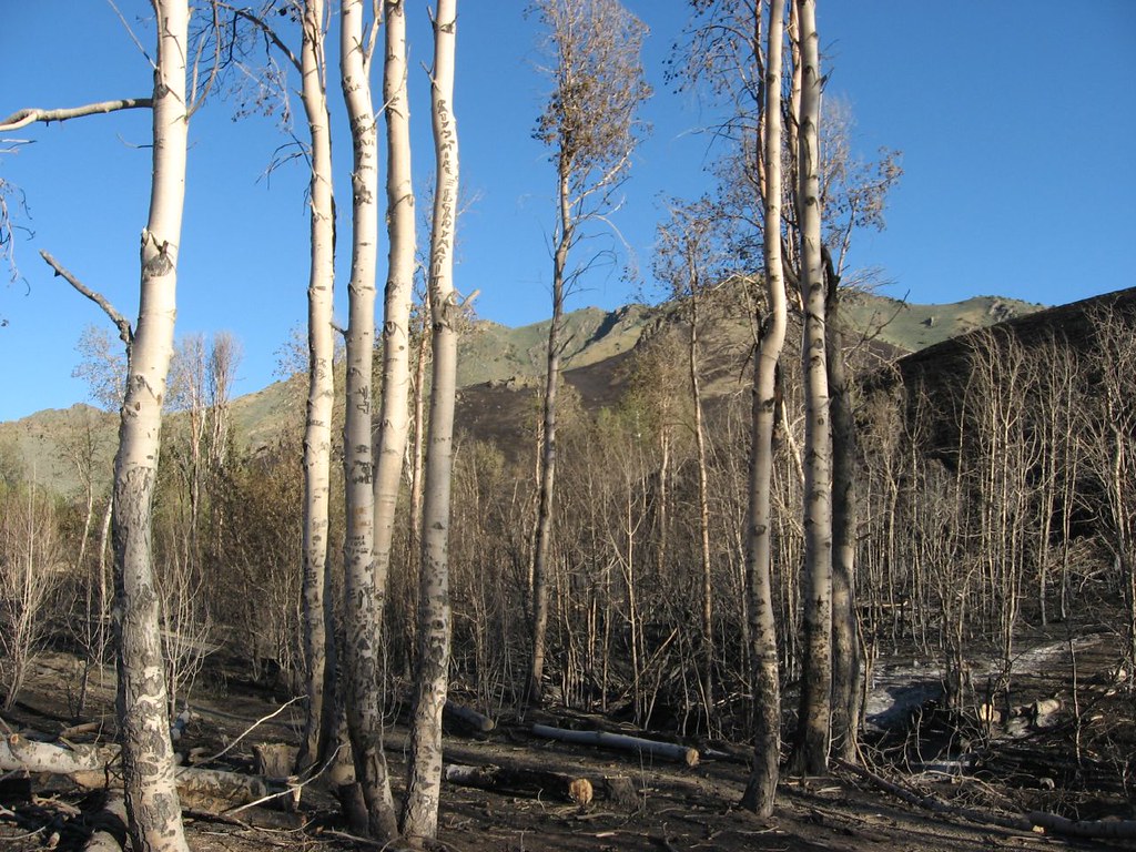 Water Canyon Overlook TrailHikingPhoto: Ken Lund, CC BY-SA 2.0 (via Flickr)5.3 mi
 Water Canyon-Bloody Shins ConnectorHikingPhoto: Ken Lund, CC BY-SA 2.0 (via Flickr)5.8 mi
- Clear CreekCanoeing8.3 mi
Source: Roamze catalog (indexable pages within 10 miles, PostGIS distance)
