White Peaks
 Photo: Mike Cline, Public domain (via Wikimedia Commons)
At a glance
White Peaks is a summit of about 9,804 feet in Park County, Wyoming, inside Yellowstone National Park, which the National Park Service manages. The nearest town is Mammoth, about 14 miles away. The closest trail is the Mount Holmes-Winter Creek Trail, about half a mile away. Trilobite Lake Trail and Grizzly Lake Trail are both within about 5 miles, and Roaring Mountain is about 7 miles off.
- summit
- 9,804 ft
- managed by
- National Park Service
Where it is: Yellowstone National Park
Near: West Yellowstone
Been here? Tell people how it was.
We don't know of a mapped trail or route to the summit of White Peaks. Plan the approach with local maps, a guidebook or a local guide, and check conditions before you go.
 Mount Holmes10,339 ft · Wyoming1 route0.9 mi awayPhoto: J.P. Iddings, Public domain (via Wikimedia Commons)
 Bunsen Peak8,565 ft · Wyoming3 routes12 mi awayPhoto: Mike, Public domain (via Wikimedia Commons)
 Sepulcher Mountain9,652 ft · Wyoming1 route13 mi awayPhoto: Mike Cline, Public domain (via Wikimedia Commons)
- Observation Peak9,402 ft · Wyoming1 route16 mi away
- Big Horn Peak9,896 ft · Montana2 routes20 mi away
- Sheep Mountain10,095 ft · Montana1 route21 mi away
- Mount Holmes-Winter Creek TrailHiking0.6 mi
- Trilobite Lake TrailHiking3.4 mi
- Grizzly Lake TrailHiking5.2 mi
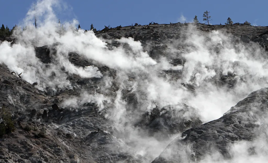 Roaring MountainHikingPhoto: NPS / public domain6.7 mi
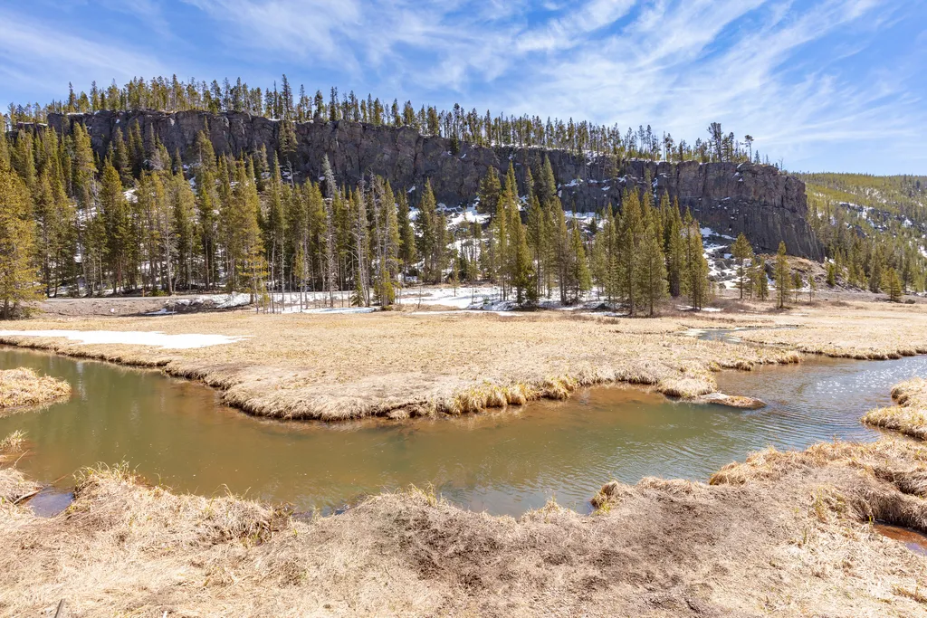 Obsidian CreekHikingPhoto: NPS / public domain7 mi
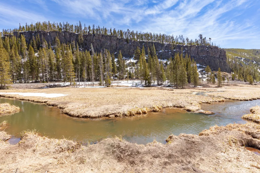 Obsidian CliffHikingPhoto: NPS / public domain7 mi
- Cougar CreekCanoeing8.7 mi
- Grayling CreekCanoeing9.1 mi
- Mount HolmesSummitPhoto: J.P. Iddings, Public domain (via Wikimedia Commons)~1 min drive
 Echo PeakSummitPhoto: J. P. Iddings, Public domain (via Wikimedia Commons)~4 min drive
 Antler PeakSummitPhoto: J Schmidt, Public domain (via Wikimedia Commons)~7 min drive
 Bannock PeakSummitPhoto: Chris M Morris, CC BY 2.0 (via Wikimedia Commons)~10 min drive
 Roaring MountainSummitPhoto: Acroterion, CC BY-SA 4.0 (via Wikimedia Commons)~13 min drive
 Gray PeakSummitPhoto: Bryan Harry, Public domain (via Wikimedia Commons)~16 min drive
 Purple MountainSummitPhoto: Mike Cline, Public domain (via Wikimedia Commons)~18 min drive
- Bunsen PeakSummitPhoto: Mike, Public domain (via Wikimedia Commons)~20 min drive
 National Park MountainSummitPhoto: Acroterion, CC BY-SA 4.0 (via Wikimedia Commons)~21 min drive
 Clagett ButteSummitPhoto: Bernt Rostad, CC BY 2.0 (via Wikimedia Commons)~21 min drive
Conditions and forecast
Daily highs and lows, wind and the chance of precipitation at the summit for the next 7 days, from the Open-Meteo model.
Questions about White Peaks
How tall is White Peaks?
9,804 ft (2,988 m).
Is there a trail to the top of White Peaks?
We don't know of a mapped trail or route to the summit. Plan the approach with local maps, a guidebook or a local guide.


Ask about this place
Questions about White Peaks: conditions, access, timing. Answers say when something isn't known.
