
CDA River RV
Hiking business nearby (~39 mi away) — hasn't claimed their Roamze page yet
Montana
Free — you'll pick up right here.
2.0 mi
Distance
1,044 ft
Gain
1h 2m
Time
No agency boundary, access route or field report is mapped to it — so there is no verdict, and we won't guess. We'll tell you the moment this trail has something to say.
Covered nearby
Trails within 25 miles where we do have a current picture.
Nobody's filed a report here yet — be the first.
Why you'll love it
West Fork Loop
Suggested plan · check conditions before you go
No permit or access details on file for this trail — check with the local land manager before you go.
West Fork Out-and-back is a 4.06-mile out-and-back trail in Montana with 1,044 feet of elevation gain and loss. The trail reaches a maximum elevation of 3,887 feet.
 Photo: Jon Roanhaus, CC BY-SA 3.0 (via Wikimedia Commons)
Clear Creek
~14 min drive
3.18-mile out-and-back trail in Idaho with 456 ft elevation gain.
 Photo: Robert Ashworth from Bellingham, WA., USA, CC BY 2.0 (via Wikimedia Commons)
Copper Lake
~15 min drive
1.96-mile out-and-back trail to Copper Lake in Montana with 625 ft gain.
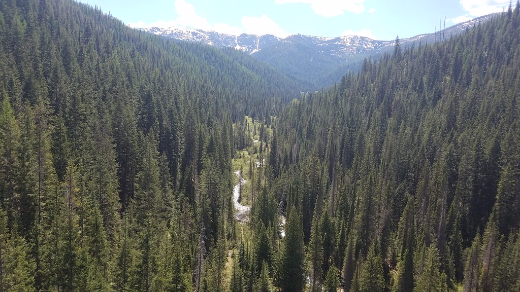 Photo: Forest Service - Northern Region, Public Domain Mark (via Flickr)
BEAR CREEK
~14 min drive
9.38-mile out-and-back trail in Idaho with 3,378 ft elevation gain
SALTESE/RANDOLPH CREEK LOOP
~2 min drive
41.44-mile out-and-back out-and-back in Montana with 4,270 ft elevation gain/loss
Savenac Arboretum North
~11 min drive
0.66-mile out-and-back trail in Montana's Savenac Arboretum with 45 ft of elevation gain.
 Photo: Forest Service - Northern Region, Public Domain Mark (via Flickr)
Crystal Lake
~17 min drive
7.36-mile out-and-back trail to Crystal Lake in Montana with 2,359 ft elevation gain.
Photo: Robert Ashworth from Bellingham, WA., USA, CC BY 2.0 (via Wikimedia Commons)Saint Regis Lakes
~17 min drive
2.93-mile out-and-back trail to Saint Regis Lakes in Idaho with 838 ft of elevation gain.
TAFT SUMMIT/T-FALLS
~7 min drive
7.26-mile out-and-back trail in Montana with 3,187 ft elevation gain and loss.
SILVER/DOMINION CREEK
~2 min drive
16.12-mile out-and-back trail in Montana with 4,806 ft gain and 6,106 ft max elevation.
Savenac Arboretum East
~11 min drive
0.32-mile loop trail in Montana's Savenac Arboretum East.
Local operatorsoffering guided trips. You book directly with them — Roamze doesn’t take a cut.
CDA River RV
Hiking business nearby (~39 mi away) — hasn't claimed their Roamze page yet
Lost Moose Campground
Hiking business nearby (~44 mi away) — hasn't claimed their Roamze page yet
